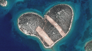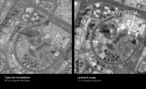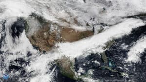


Using satellite imagery is a great competitive advantage for those in the media industry to enhance their news coverage. Earth observation technology provides an excellent method to monitor areas of interest and detect changes in developing stories. Investigative journalists, in particular, benefit from satellite data as consistent monitoring can be a safe and cost-effective way […]
Read More
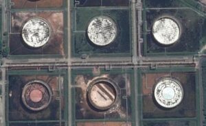
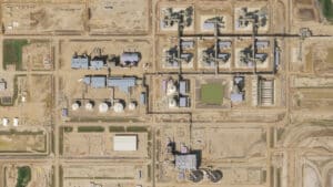
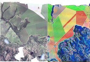
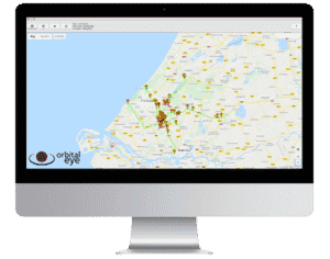
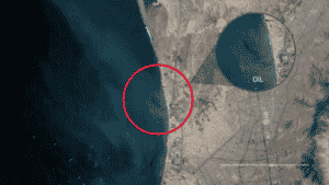
In the oil and gas industry, site monitoring is an essential component of operating effectively and safely. Site monitoring is crucial to safety, compliance, and operational performance; it’s one of the most efficient and effective ways to avoid negative environmental impacts and ensure the safety and well-being of employees and customers. With the advent of […]
Read More
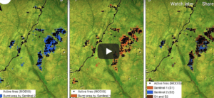
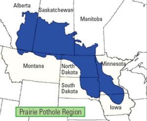
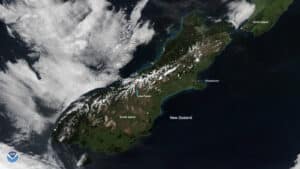
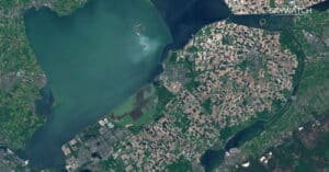
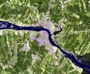
Satellite data has become an indispensable tool for local governments to safeguard assets, conserve and manage their land resources, and react swiftly and effectively to unforeseen emergencies that may arise within their jurisdictions. With the help of advanced satellite technologies, local authorities can monitor and analyze various environmental factors such as land use, water resources, weather patterns, and natural disasters, enabling them to make informed decisions, take proactive measures, and mitigate potential risks. By leveraging satellite data, local governments can ensure the safety and well-being of their citizens as well as preserve the land they govern.
Read More