Managing Critical Infrastructure In Oil and Gas Oil and Gas...


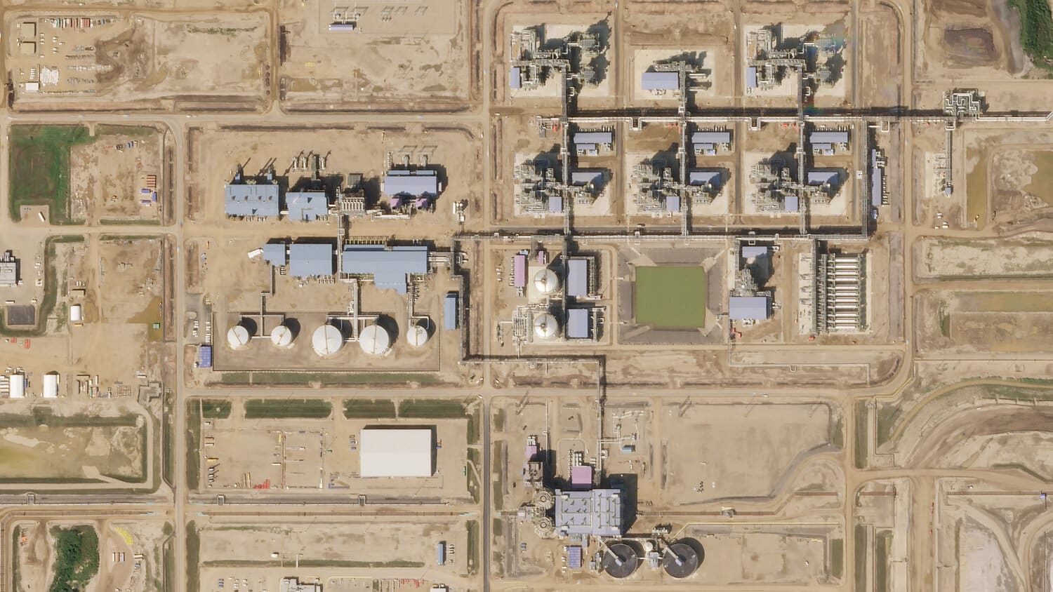
Managing Critical Infrastructure In Oil and Gas Oil and Gas...
The Earth observation (EO) industry is forecasted to grow from...

LiveEO uses satellite imagery to provide innovative infrastructure monitoring in...