Improving flood forecasting with Earth observation data is not only...


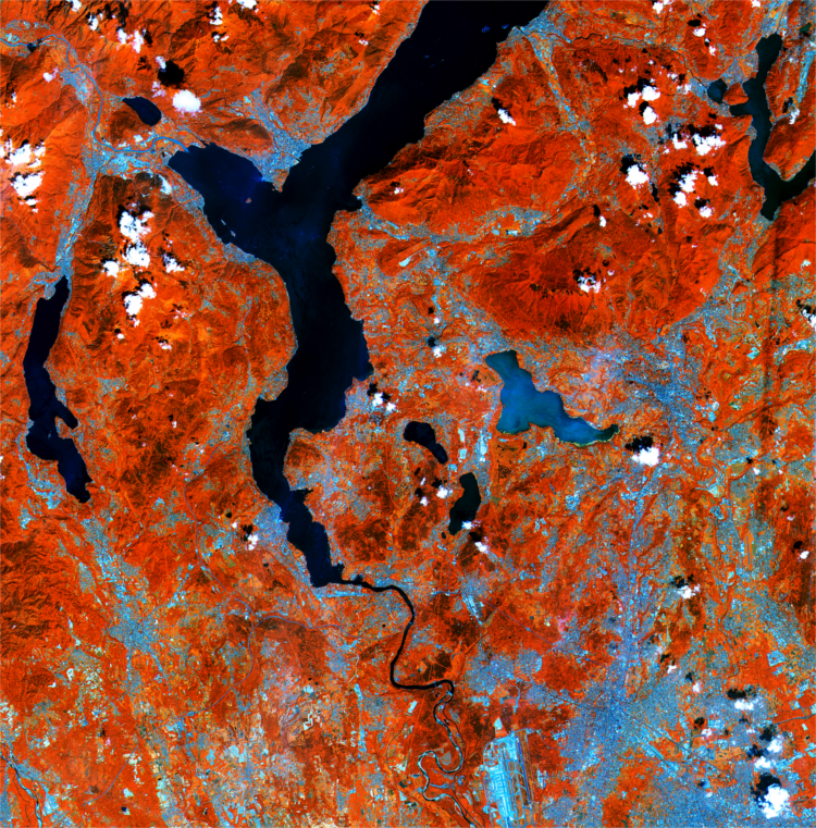
Improving flood forecasting with Earth observation data is not only...
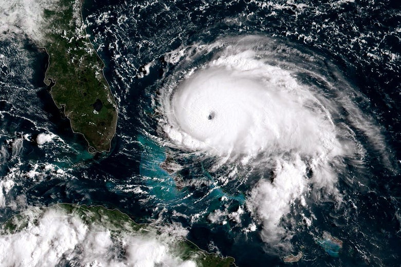
The death toll continues to rise in the Bahamas following...