From monitoring vast agricultural fields to planning the cities of tomorrow, the view from above offers unparalleled insights. Satellite imagery is transforming how industries operate, enabling organizations to make critical decisions with precision and foresight. These “eyes in the sky” provide a wealth of Earth observation data, driving efficiency, enhancing safety, and unlocking new possibilities.
This technology is not just about taking pictures from space; it’s about providing actionable intelligence that can revolutionize project management, environmental monitoring, and asset tracking. This post will explore the fundamentals of satellite imagery, covering:
- What is satellite imagery and how does it differ from other maps?
- How this powerful data is captured from orbit.
- Key applications of satellite imagery across various industries.
- The future of satellite technology in business and operations.
What is Satellite Imagery
Satellite imagery refers to pictures of Earth collected by imaging satellites operated by governments and private companies. These are not simple photographs. They are sophisticated digital files packed with data captured across various parts of the electromagnetic spectrum.
Unlike a standard road map that shows you streets and landmarks, satellite maps provide a real-world, dynamic view of the Earth’s surface. Think of it as the difference between a blueprint and a live video feed of a construction site. While a traditional map is static, satellite images can be updated frequently, offering a near real-time perspective on changes happening on the ground.
This distinction is crucial for professionals in fields like urban planning, mining, and utilities. A project manager can use recent satellite images to monitor construction progress without a site visit, while an environmental officer can track deforestation or the impact of a natural disaster.
How Is Satellite Imagery Captured?
Capturing high-quality Earth observation data is a marvel of modern engineering. It involves a network of advanced satellites orbiting our planet, each equipped with powerful sensors.
The process works like this:
- Orbiting Satellites: Hundreds of satellites constantly circle the Earth. They travel in specific paths, known as orbits, to cover different parts of the globe. Some follow a sun-synchronous orbit, meaning they pass over the same spot at the same local solar time each day, which is perfect for monitoring changes.
- Advanced Sensors: These satellites carry passive or active sensors.
- Passive sensors, like those for optical imagery, detect natural energy reflected from the Earth’s surface. They capture sunlight bouncing off the ground, much like a digital camera.
- Active sensors, such as Radar (Radio Detection and Ranging), emit their own energy and measure how it bounces back. This technology has a major advantage: it can “see” through clouds, smoke, and darkness, making it invaluable for disaster response and monitoring in any weather condition.
- Data Downlink: Once the satellite captures the data, it transmits it to a network of ground stations. This raw data is then processed, corrected for atmospheric distortions, and transformed into the usable satellite images you see.
This continuous cycle of data collection and processing provides a steady stream of up-to-date information, empowering organizations to respond with precision and manage assets more effectively.
What is Satellite Imagery Used For?
The true power of satellite imagery lies in its application. Across numerous sectors, this technology drives operational efficiency, ensures regulatory compliance, and improves safety outcomes. The possibilities are expanding every day, but here are some of the most impactful uses.
Environmental Monitoring and Management
For environmental officers and government agencies, satellite imagery is an essential tool for protecting our natural world. It enables:
- Tracking Deforestation: Authorities can monitor forest cover in remote areas, identify illegal logging, and measure the effectiveness of conservation efforts.
- Water Resource Management: Imagery helps track water levels in reservoirs, monitor coastal erosion, and identify potential sources of water pollution.
- Compliance Monitoring: Companies in mining and energy can use satellite data to demonstrate compliance with environmental regulations, showing that their operations are contained within designated boundaries.
Agriculture and Precision Farming
The agricultural industry has been revolutionized by Earth observation data. Farmers and agronomists can now manage their land with unprecedented accuracy.
- Crop Health Analysis: Specialized imagery can detect subtle changes in plant health, allowing farmers to identify disease or pest infestations early.
- Yield Optimization: By analyzing soil conditions and crop growth patterns, farmers can apply water and fertilizer more efficiently, reducing waste and increasing yields.
- Land Management: Satellite maps help in planning crop rotations and managing large tracts of farmland to ensure long-term sustainability.
Urban Planning and Infrastructure Development
For urban planners and project managers, satellite maps offer a macro-level view that is critical for large-scale projects.
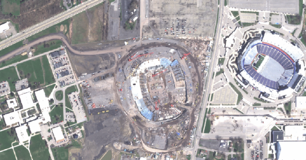
- Site Selection and Monitoring: Planners can analyze potential development sites for environmental risks. During construction, recent images provide a clear view of project progress, helping to keep timelines on track.
- Infrastructure Management: Utilities can monitor critical infrastructure like power grids and pipelines. This is especially useful for vegetation management, where imagery can identify growth that poses a risk to power lines.
- Smart City Development: As cities grow, satellite data helps manage urban expansion, monitor traffic patterns, and plan for green spaces.
Disaster Response and Emergency Management
When disaster strikes, speed and accuracy are everything. Satellite imagery provides emergency response teams with the critical information they need to act decisively.
- Damage Assessment: After a hurricane, flood, or wildfire, satellite images can quickly map the extent of the damage, even in areas that are inaccessible on the ground.
- Real-time Monitoring: During an ongoing event like a flood, imagery can track the movement of floodwaters, helping to predict which areas will be affected next.
- Rebuilding Efforts: In the aftermath, satellite maps assist in planning reconstruction, ensuring that new infrastructure is more resilient to future events.
What Can Satellite Imagery Do For You?
Satellite imagery has evolved from a niche tool to an indispensable asset for businesses of all sizes. The future of satellite technology promises even greater advancements. Higher resolution sensors and more frequent revisit times mean the quality and availability of Earth observation data will only improve.
We are on the cusp of a new era where integrated data systems, powered by satellite imagery, will offer even deeper insights. Imagine a world where a site manager gets an automated alert about a safety hazard detected from space, or a grid operator can predict an outage by analyzing data in real time.
This is the future we are building. By making Earth observation data more accessible and usable, we empower industries to enhance safety, optimize operations, and build a more sustainable world.