Utilities & Critical Infrastructure
Monitor utility infrastructure without field delays
Utility networks stretch across huge, distributed, and often remote territory — and a single undetected encroachment or fault can mean an outage, a safety incident, or a costly emergency repair. Manual inspections can't keep pace, and field visits put crews at risk. SkyWatch gives utility teams a way to monitor critical infrastructure remotely, catch issues early, and inspect in detail — without sending people into the field.
The platform
A unified platform for infrastructure monitoring
SkyWatch gives utility teams a single place to discover, buy, manage, and integrate geospatial data — no specialized expertise or multiple vendors required.
Discover imagery across providers
Access satellite, aerial, and (soon) drone imagery from a growing ecosystem of providers — without managing multiple vendors.
Purchase and task new data on demand
Order imagery when and where you need it, with transparent pricing and flexible tasking options.
Centralize and manage your imagery
Keep historical and current data organized, accessible, and ready for analysis across teams.
Integrate into your existing workflows
Use imagery directly in GIS platforms like ArcGIS, internal dashboards and analytics tools, and automated monitoring systems via API.
Spot risks to your assets early
Quickly detect and mitigate the risks of vegetation, industrial activity, and other encroachment on your infrastructure assets.
Automate capture and response
Programmatically task image captures of your infrastructure, so you can detect changes and take corrective action quickly.
Use cases
Use cases for utility teams
Put satellite, aerial, and drone imagery to work across the workflows that matter most to your team.
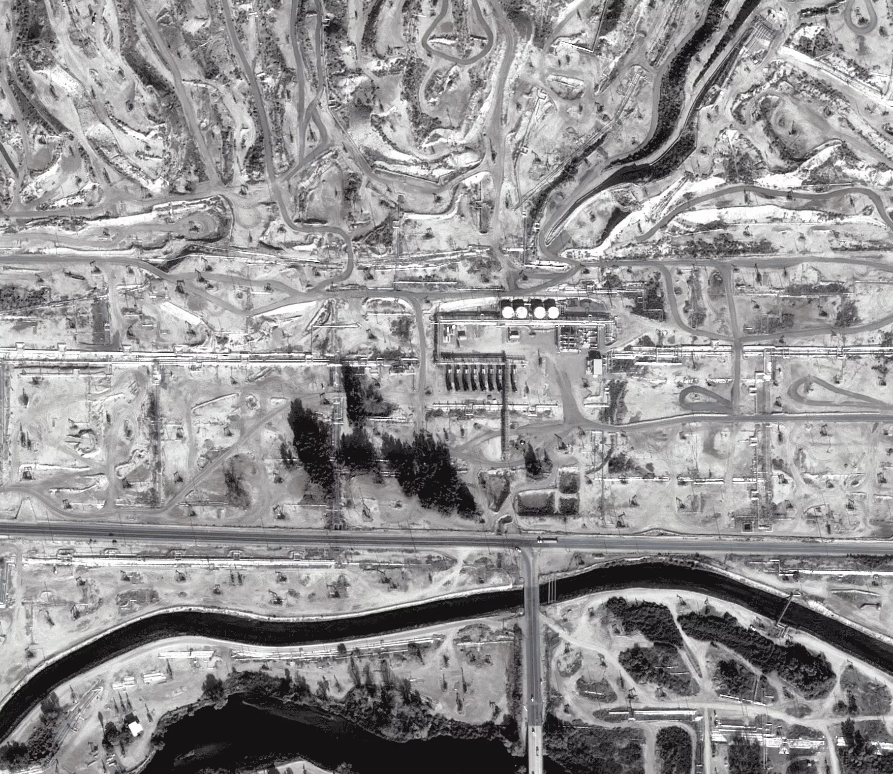
Vegetation & encroachment monitoring
Detect vegetation, industrial activity, and other encroachment on your assets and rights-of-way before it becomes a risk.
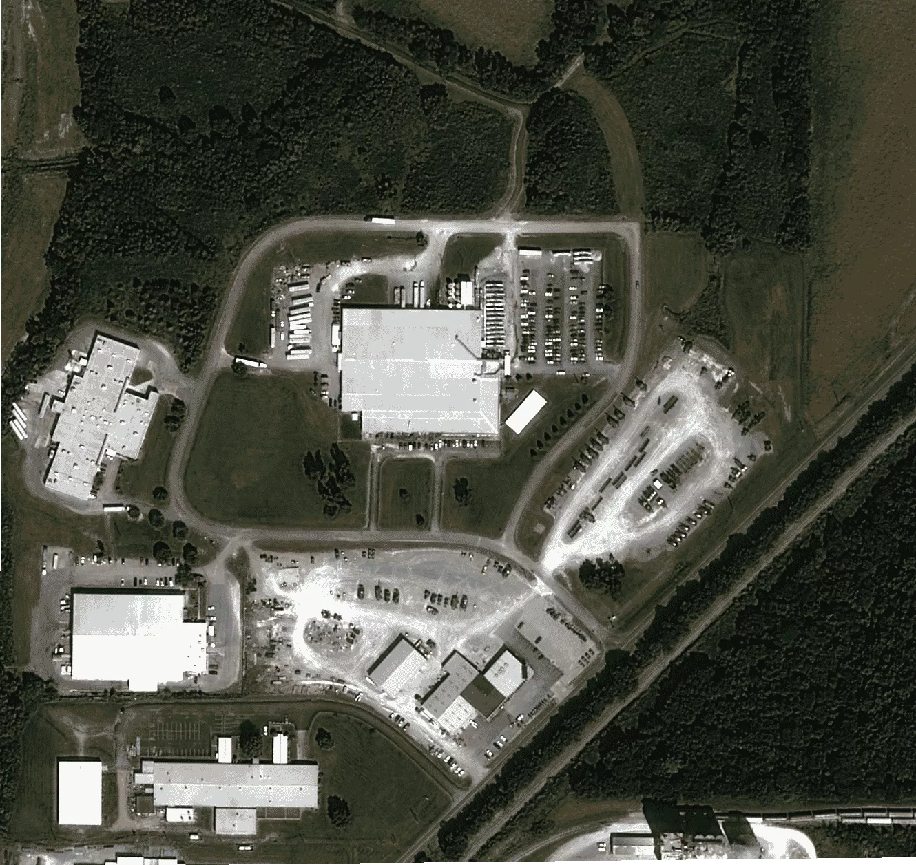
Infrastructure monitoring
Reduce costs and increase the efficiency of monitoring distributed infrastructure and remote sites.
Anomaly detection & response
Monitor with low-resolution data and cue a high-resolution capture the moment an anomaly is detected.
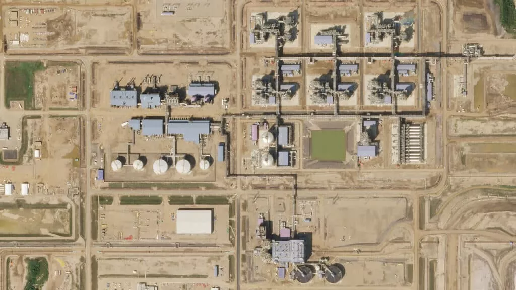
Visual inspection
Inspect assets in detail with imagery down to 2.8cm resolution — the highest available in the commercial market.
Risk & safety assessment
Identify and assess risks remotely before sending crews into potentially dangerous situations.
Why SkyWatch
Why utility teams choose SkyWatch
- Catch issues before they become outages
- Reduce inspection and field costs
- Keep crews out of hazardous situations
- Monitor the entire network consistently
- Automate capture and response with programmatic tasking
Built for your team
Built for how your team works
Whether you're a GIS analyst, an operations lead, a data engineer, or an executive — SkyWatch fits into your workflow, not the other way around.
GIS analysts
Working in ArcGIS and other GIS platforms, pulling imagery straight into existing projects.
Operations teams
Monitoring distributed assets day to day and acting on change as it happens.
Data & engineering teams
Building internal tools and automated monitoring on top of the API.
Executives & decision-makers
Who need clearer, faster visibility across the whole organization.
Data partners
Imagery from the world's leading providers
Access an ever-growing network of satellite, aerial, and drone operators — all through a single SkyWatch account.


Keep the network up and your crews safe
Monitor infrastructure remotely, catch anomalies early, and inspect in detail — without sending people into the field.