Energy, Oil & Gas
Monitor pipeline and energy infrastructure without field delays
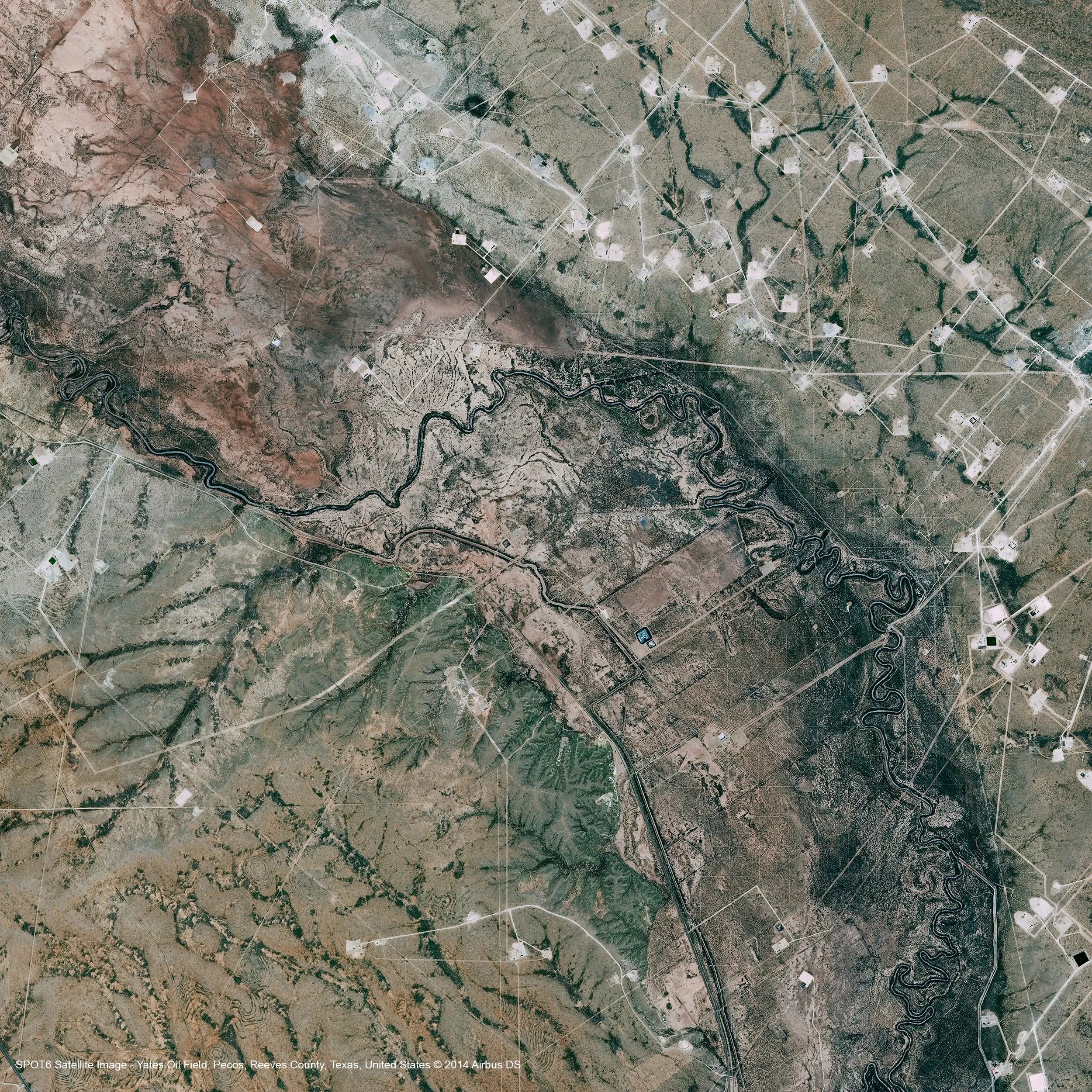
Oil, gas, and energy operations span vast, remote, and often hard-to-access environments. From pipelines and well sites to refineries, solar farms, and terminals, maintaining visibility across these assets is critical — but traditional monitoring methods can't keep up. Site visits are expensive. Data is fragmented. And delays in visibility lead to delays in decisions. SkyWatch changes that.

The platform
A unified platform for energy monitoring
SkyWatch gives energy teams a single place to discover, buy, manage, and integrate geospatial data — no specialized expertise or multiple vendors required.
Discover imagery across providers
Access satellite, aerial, and (soon) drone imagery from a growing ecosystem of providers — without managing multiple vendors.
Purchase and task new data on demand
Order imagery when and where you need it, with transparent pricing and flexible tasking options.
Centralize and manage your imagery
Keep historical and current data organized, accessible, and ready for analysis across teams.
Integrate into your existing workflows
Use imagery directly in GIS platforms like ArcGIS, internal dashboards and analytics tools, and automated monitoring systems via API.
Monitor oil fields and pipelines remotely
Detect changes, encroachment, and naturally occurring seeps across oil fields and pipelines — off-site and on demand.
Detect spills and plan remediation
Detect oil spills and tanker incidents and plan remediation activities with a comprehensive picture of risks and impacts.

Site and monitor solar and wind faster
Cut costs and boost efficiency in renewable energy site selection and monitoring — from solar farm planning to ongoing operations.

Use cases
Use cases for energy teams
Put satellite, aerial, and drone imagery to work across the workflows that matter most to your team.
Pipeline monitoring
Detect encroachment, ground movement, and environmental changes across long-distance infrastructure.
Leak detection & environmental risk
Identify potential issues early by monitoring vegetation stress, soil disturbance, and site conditions over time.
Asset integrity & maintenance
Prioritize inspections by identifying areas of change before sending crews into the field.
Exploration & site development
Evaluate terrain, monitor site progress, and track infrastructure development across regions.
Renewable site selection & monitoring
Evaluate and monitor solar and wind sites to cut costs and boost efficiency across the portfolio.
Regulatory compliance
Maintain a consistent visual record of operations to support reporting and compliance requirements.
Why SkyWatch
Why energy teams choose SkyWatch
- Faster decision-making with immediate access to imagery
- Reduced field costs by minimizing unnecessary site visits
- Improved risk visibility across distributed assets
- Streamlined procurement with one platform instead of many vendors
- Scalable monitoring workflows across regions and teams
Built for your team
Built for how your team works
Whether you're a GIS analyst, an operations lead, a data engineer, or an executive — SkyWatch fits into your workflow, not the other way around.
GIS analysts
Working in ArcGIS and other GIS platforms, pulling imagery straight into existing projects.
Operations teams
Monitoring distributed assets day to day and acting on change as it happens.
Data & engineering teams
Building internal tools and automated monitoring on top of the API.
Executives & decision-makers
Who need clearer, faster visibility across the whole organization.
Data partners
Imagery from the world's leading providers
Access an ever-growing network of satellite, aerial, and drone operators — all through a single SkyWatch account.


See your operations from above
Monitor pipelines, fields, and renewable sites remotely — detect issues early and act before they become costly.