Mining & Natural Resources
Optimize mining operations with geospatial data
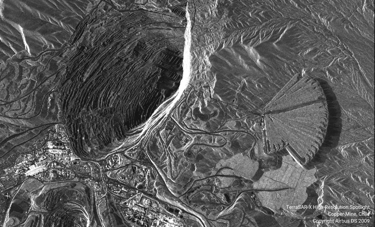
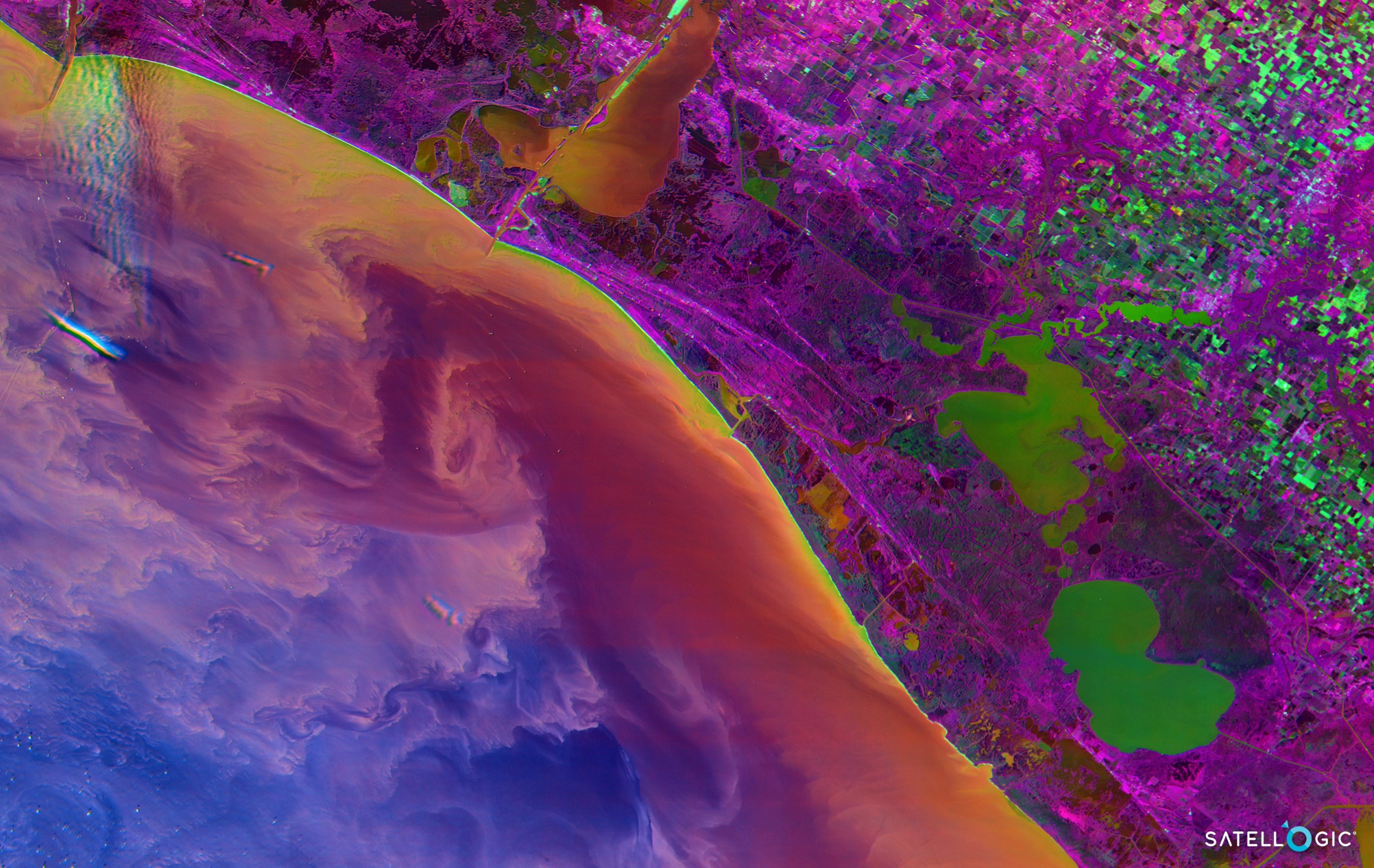
Mining operations are remote, hazardous, and constantly changing — and the cost of a missed change, a safety incident, or a compliance gap is high. Field visits and visual inspections are expensive and slow, and exploration across large areas is harder still. SkyWatch gives mining teams the right data — multispectral, hyperspectral, and radar — to explore, monitor, and stay compliant from the desktop.
The platform
A unified platform for mine and resource monitoring
SkyWatch gives mining teams a single place to discover, buy, manage, and integrate geospatial data — no specialized expertise or multiple vendors required.
Discover imagery across providers
Access satellite, aerial, and drone imagery from a growing ecosystem of providers — without managing multiple vendors.
Purchase and task new data on demand
Order imagery when and where you need it, with transparent pricing and flexible tasking options.
Centralize and manage your imagery
Keep historical and current data organized, accessible, and ready for analysis across teams.
Integrate into your existing workflows
Use imagery directly in GIS platforms like ArcGIS, internal dashboards and analytics tools, and automated monitoring systems via API.
Replace costly field visits
Monitor site integrity and production — and identify areas for resource exploration or map the distribution of minerals — replacing costly visual inspections and field visits.
Map minerals and manage impact
Gather detailed mineral composition data with hyperspectral imagery, identify safety hazards, monitor environmental impact, and comply with regulatory requirements.
Use cases
Use cases for mining teams
Put satellite, aerial, and drone imagery to work across the workflows that matter most to your team.
Site monitoring
Monitor site integrity and production over time, replacing costly visual inspections and field visits.
Resource exploration
Identify areas for exploration and map the distribution of minerals and other resources with hyperspectral data.
Tailings & environmental monitoring
Monitor tailings, water, and surrounding land to manage environmental impact and risk.
Safety & hazard assessment
Identify safety hazards and assess remote or dangerous areas before sending crews in.
Regulatory compliance
Maintain a consistent visual and data record to support reporting and regulatory requirements.
Why SkyWatch
Why mining teams choose SkyWatch
- Explore and monitor large, remote areas affordably
- Replace costly and dangerous field inspections
- Match the right data type to every job
- Strengthen environmental and safety oversight
- Support compliance with a consistent record
Built for your team
Built for how your team works
Whether you're a GIS analyst, an operations lead, a data engineer, or an executive — SkyWatch fits into your workflow, not the other way around.
GIS analysts
Working in ArcGIS and other GIS platforms, pulling imagery straight into existing projects.
Operations teams
Monitoring distributed assets day to day and acting on change as it happens.
Data & engineering teams
Building internal tools and automated monitoring on top of the API.
Executives & decision-makers
Who need clearer, faster visibility across the whole organization.
Data partners
Imagery from the world's leading providers
Access an ever-growing network of satellite, aerial, and drone operators — all through a single SkyWatch account.


Mine smarter, from the desktop
Monitor sites, explore for resources, and stay compliant with the right mix of multispectral, hyperspectral, and radar data.