Satellite Image Outputs and Their Applications
Colors are just how our eyes interpret light. Light is made of electromagnetic waves. When light shines on an object, some wavelengths are absorbed and others are reflected. The colors we’re able to see are just a small range of reflected wavelengths that can be perceived by our vision. They consist of a tiny visible […]
Why Buying Satellite Imagery Used to Be So Hard

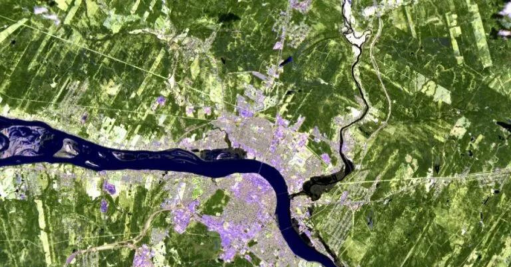
A remote sensing device, such as a satellite, collects and acquires physical, chemical, and biological information about the Earth. This blog aims to explain how satellites can detect invisible radiation to the human eye. Then, GIS professionals can use various techniques to extract insights from the composite image. For example, a satellite image can visually […]
SkyWatch Signs Agreement With Y Combinator-Backed Matidor

WATERLOO, ONTARIO, October 20, 2021 – Matidor, a Vancouver-based collaborative geospatial data software providery, has been selected by SkyWatch Space Applications Inc. (“SkyWatch), to deliver Earth observation data via its software solution. Built on an intuitive map-based interface, Matidor delivers real-time project tracking, collaboration, and reporting among users. Matidor’s solution can provide both a broad […]
SkyWatch provides Orbital Eye with an efficient alternative to helicopter monitoring

Orbital Eye monitors critical infrastructure, such as oil and gas pipelines, for third-party interferences, such as construction work and excavations. Traditionally, oil and gas companies used helicopters to monitor their pipelines. Orbital Eye was founded with the vision that traditional aerial inspection methods based on helicopters could be replaced by satellite observation. Orbital Eye’s platform, […]