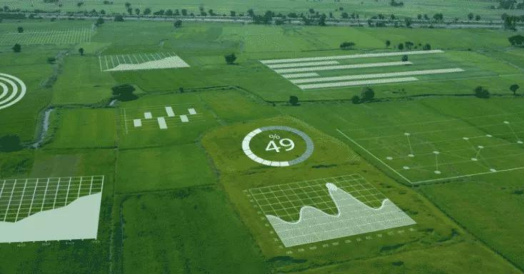
Using spatial and aerial imagery to estimate crop surfaces
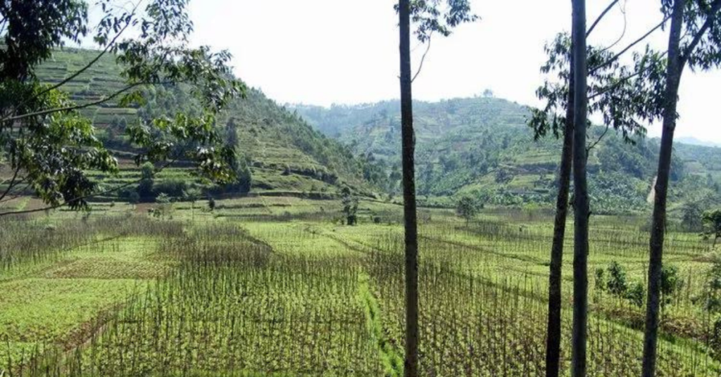
Policymakers, researchers, and organizations need agricultural statistics to monitor production changes, plan future investments and interventions, and estimate crop outputs. However, poor agricultural data can result in disastrous misallocations of resources and unsuccessful policies, as well as having a dire impact on both populations and farmers. Jacques Delincé, a veteran agricultural statistician and former head […]
SkyWatch Joins Esri Partner Network
SkyWatch Space Applications Inc., a Kitchener-based space technology company, announces today its Esri Partner Network relationship to deliver satellite imagery for mapping projects and spatial analytics via Esri’s ArcGIS software.
How SkyWatch Handled The First Few Months Of The Pandemic

SkyWatch is an awesome employer in the Waterloo Region who cares about our people’s health and safety, our product, and making sure we are a great place to work at. Read our Business Continuity Plan. We wanted To Ensure Our Employees And Partners Were Safe No more in-person stuff: Everybody works from home. No more events in […]
SkyWatch: A Platform for All of Earth Observation
Earth Observation (“EO”) is the gathering of information about the physical, chemical, and biological systems of the planet Earth through sensors. In the space industry, we’re investing billions of dollars into launching EO sensors into orbit to better understand our dynamic planet through the ever-insightful electromagnetic spectrum. Our mission at SkyWatch is to enable anybody […]
Locating uranium deposits with satellite data
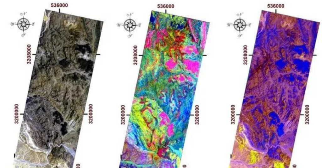
Current methods for locating new sources of uranium are often time-consuming and costly, requiring governments and mining companies to fly aircrafts over large swaths of land in remote areas. But with Earth observation data being more accessible and computers’ improved processing power, utilizing satellites to detect features in faraway places has become a much more […]
How Government Agencies Use SkyWatch
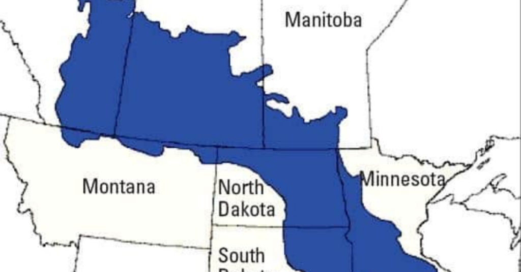
Commercial access to satellite imagery is possible thanks to solutions like SkyWatch’s platform EarthCache, but government agencies use SkyWatch too. For example, in the Prairie Pothole Region (PPR) of the United States and Canada, shallow depressions caused by Pleistocene glaciation interact with mid-continental climate variations to maintain various wetland types. As a result of their […]
Counting Seals in Cape Cod With Satellites

In the early 1970s, grey seal populations were nearly extinct in North America. Since then, populations have rebounded. Until a few months ago, there was no accurate count of current populations because the number of animals has grown dramatically in the last few decades. During a project to monitor seal populations with cellphone tags — […]
Studying Volcanoes and Earthquakes with Synthetic Aperture Radar

For over three decades, Synthetic aperture radar (SAR) has been a popular choice for Earth remote sensing. With its high resolution and day-and-night/weather-agnostic monitoring, SAR is utilized in an array of applications – ranging from geoscience and climate research to environmental and Earth system observation, from 2-D and 3-D mapping to 4-D mapping (involving the […]
Helping in the aftermath of Hurricane Dorian

The death toll continues to rise in the Bahamas following the most powerful storm to hit the islands in recorded history. While the Bahamas experience hurricanes frequently, Dorian unprecedented strength caused catastrophic damages that will likely take years to repair. The category 5 hurricane flooded airports, rendered roads inaccessible, damaged homes, hospitals, and businesses, and […]
How to Use Satellite Imagery to Reduce Risk in Oil & Gas

The Earth observation (EO) industry is forecasted to grow from a $812 million industry in 2021 to a $2.4 billion industry in 2031 with a 11% CAGR. As more and more satellites enter in orbit, the challenge for users is to attempt to make sense of the data provided. In this new age of Space 4.0 we should […]