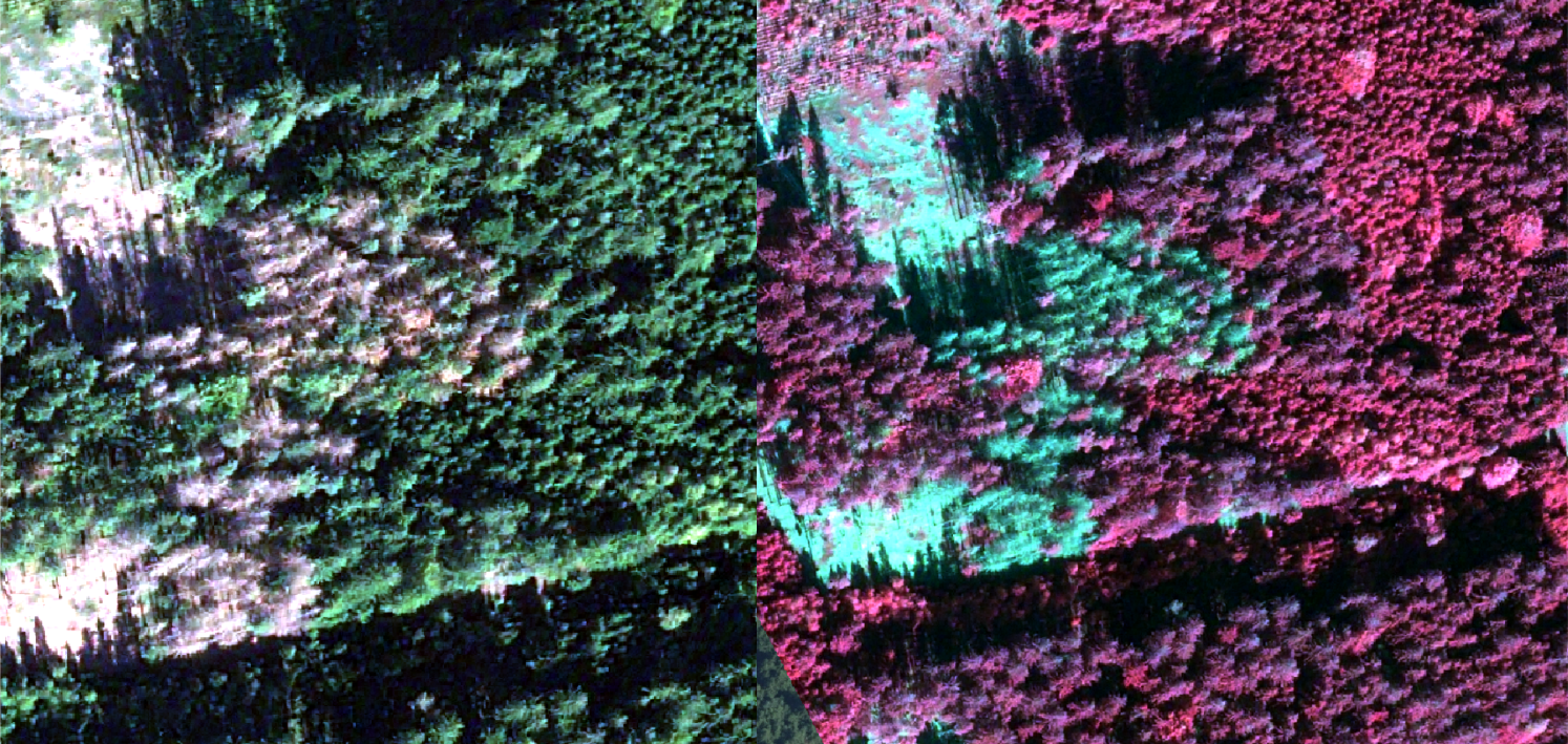
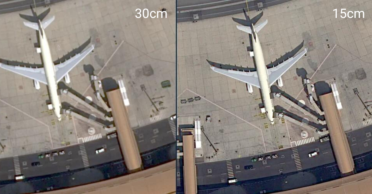
The SkyWatch Blog Our official blog with insights into the Earth observation and remote sensing industries. Leveraging Satellite Imagery For Reforestation Read More » July 18, 2024 SkyWatch Announces Content Store for ArcGIS Read More » July 16, 2024 Explore Very High Resolution Data with SkyWatch Read More » July 2, 2024 INTRODUCING THE SKYWATCH PLATFORM Read More » May 17, 2024 Enhancing News Coverage with Satellite Imagery Analysis Read More » April 16, 2024 Changing the Oil and Gas Industry with Satellite Data Read More » March 19, 2024 Capella Space Selects SkyWatch as First Aggregation Platform Partner Read More » March 5, 2024 Urban Sky Launches 2024 Urban Catalog & Custom Tasking With Premier Partner SkyWatch Read More » February 12, 2024 Local Governments Use Satellite Data to Protect Assets, Preserve Land, and Respond to Local Emergencies Read More » January 30, 2024 Load More
Urban Sky Launches 2024 Urban Catalog & Custom Tasking With Premier Partner SkyWatch Read More » February 12, 2024
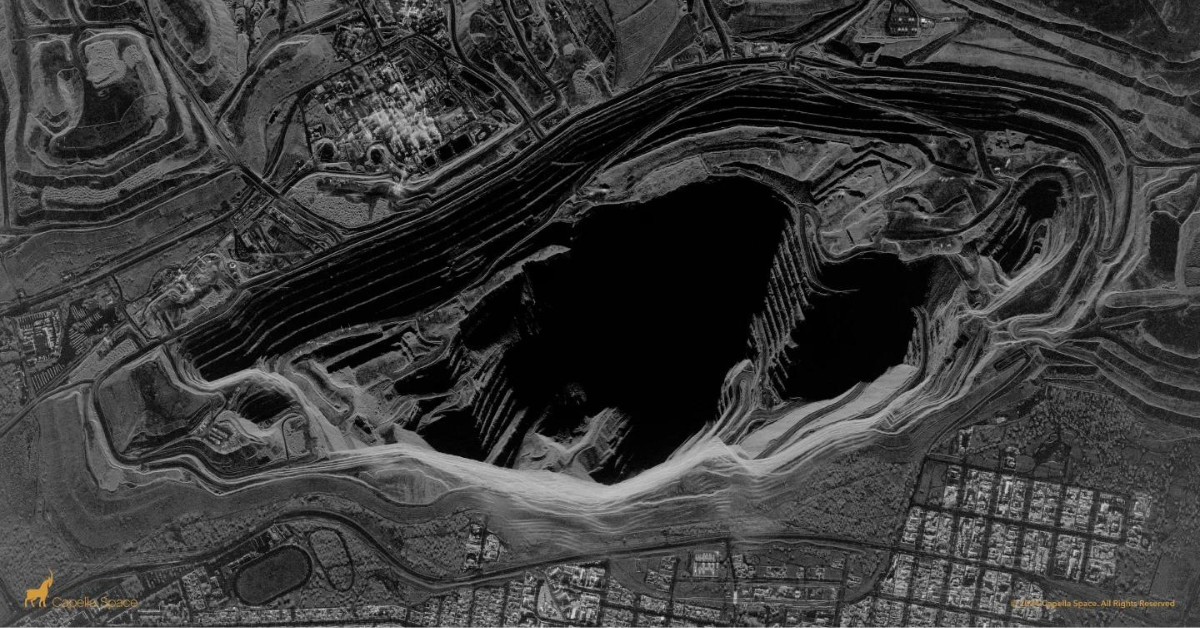
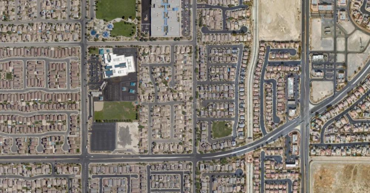
Local Governments Use Satellite Data to Protect Assets, Preserve Land, and Respond to Local Emergencies Read More » January 30, 2024
Local Governments Use Satellite Data to Protect Assets, Preserve Land, and Respond to Local Emergencies