


Access multiple data sources in one application
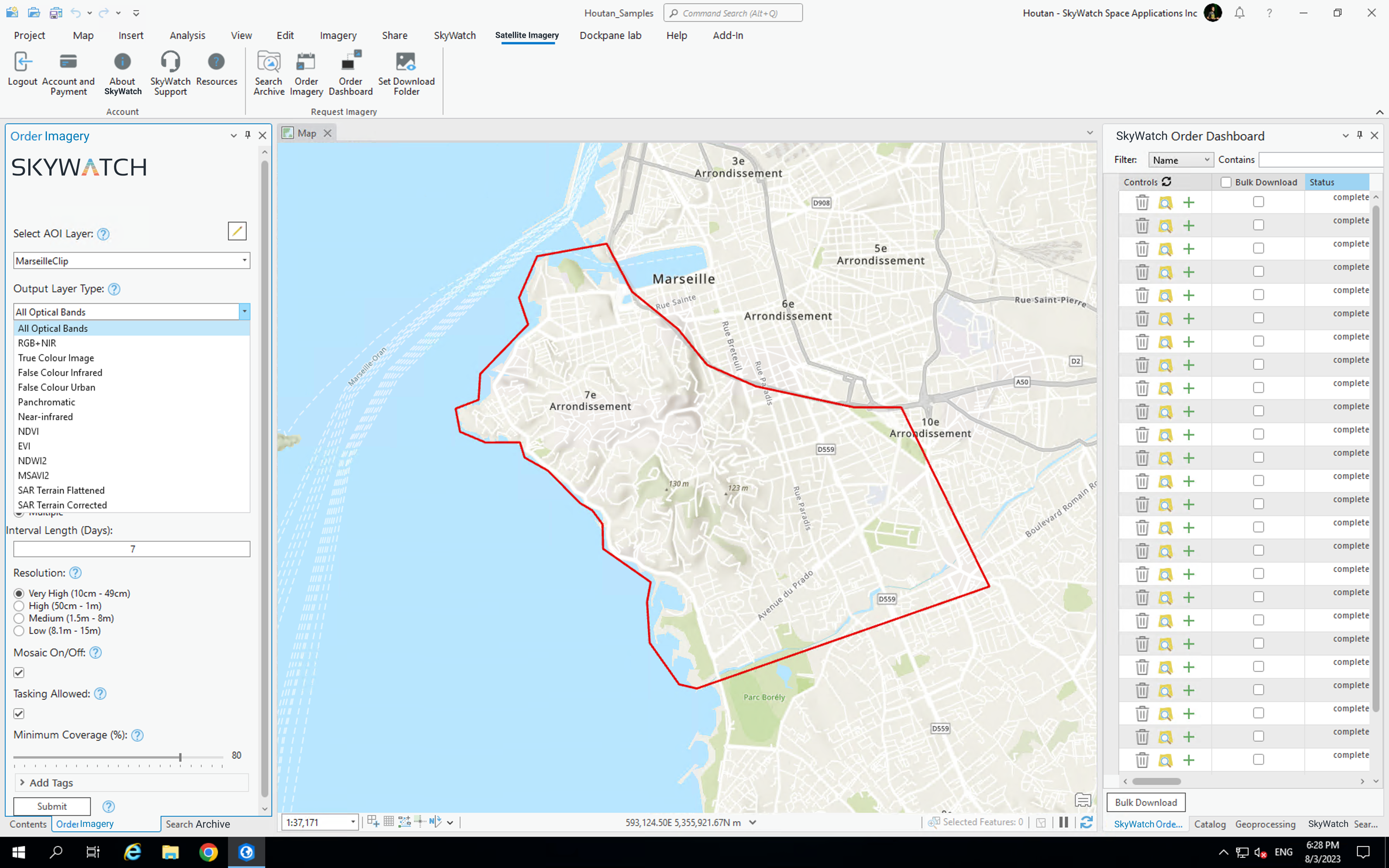
Easily task new imagery from ArcGIS
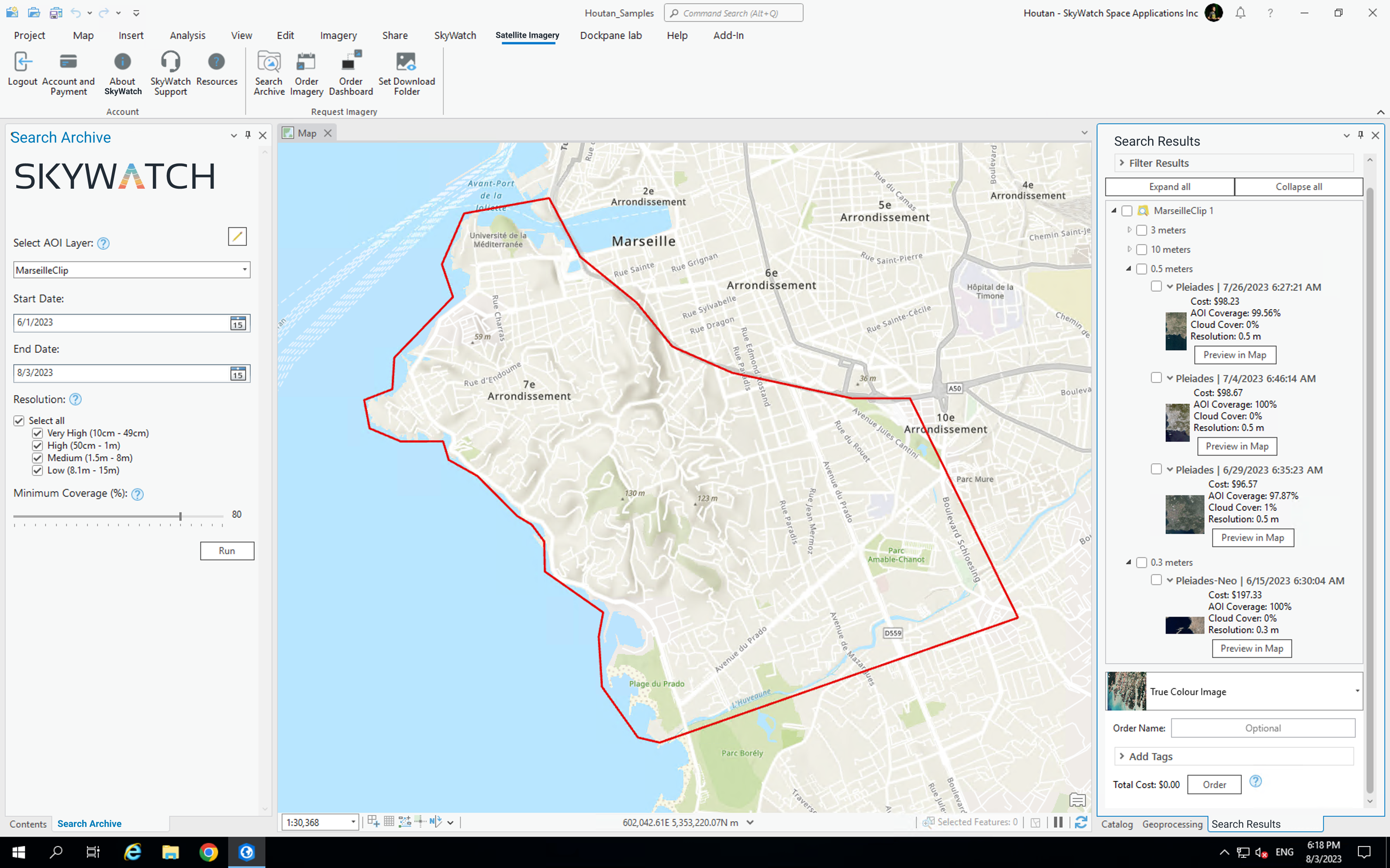
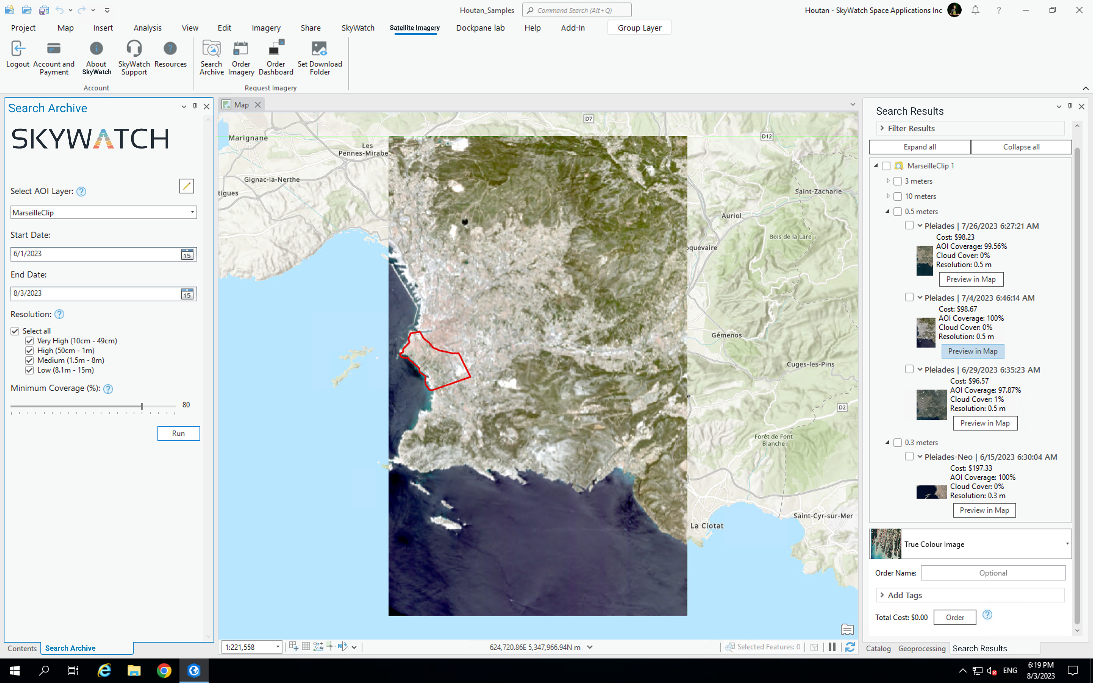
Preview imagery in your project before purchase
Start using geospatial content without leaving your GIS software

Easily discover and purchase geospatial data, right within the tools you use every day.
Access to Earth observation data is critical to your mapping projects and analysis, but it can be frustrating to source data from multiple providers and use it in your GIS applications and workflows. SkyWatch is making it easier for geospatial professionals to access and use the data they need, right within ArcGIS.
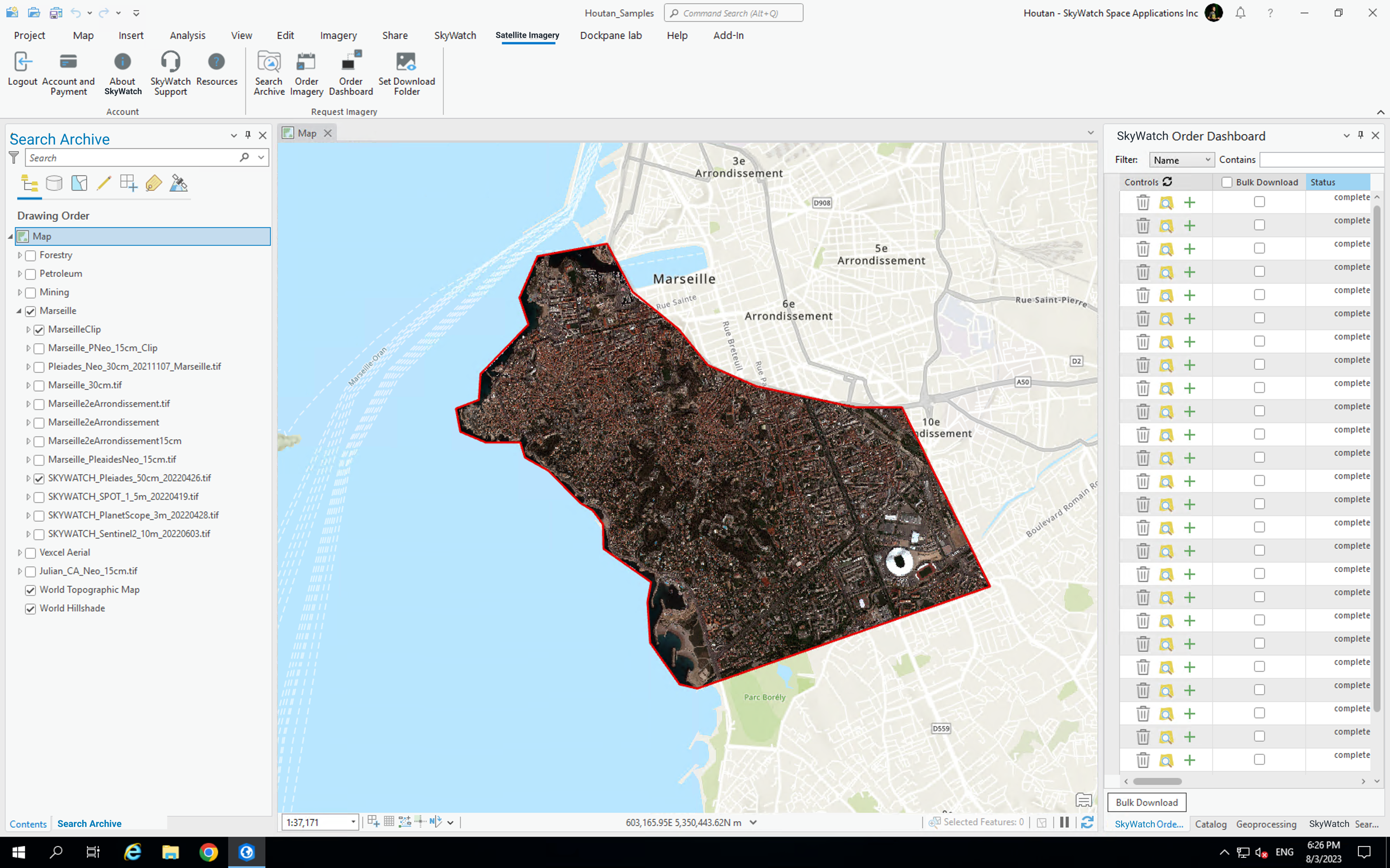
MAP offers a set of applications for geospatial professionals to easily integrate Earth observation data into the GIS software they use every day.
SkyWatch HUB makes it easier for organizations to source, manage, and share data, including additional publishing pathways for ArcGIS.