The easiest way to access geospatial data
Easily discover and purchase geospatial data for your projects—no GIS experience required.
The world’s largest organizations have powered their growth with the insights and efficiencies gained from Earth observation data. But you don’t need to be the world’s largest organization, or have the world’s largest team of geospatial analysts, to start benefiting from satellite imagery and other types of Earth observation data. SkyWatch makes it easy to start using this data for your projects, with products purpose-built for business.








Why should you get your geospatial data from SkyWatch?
Intuitive UI
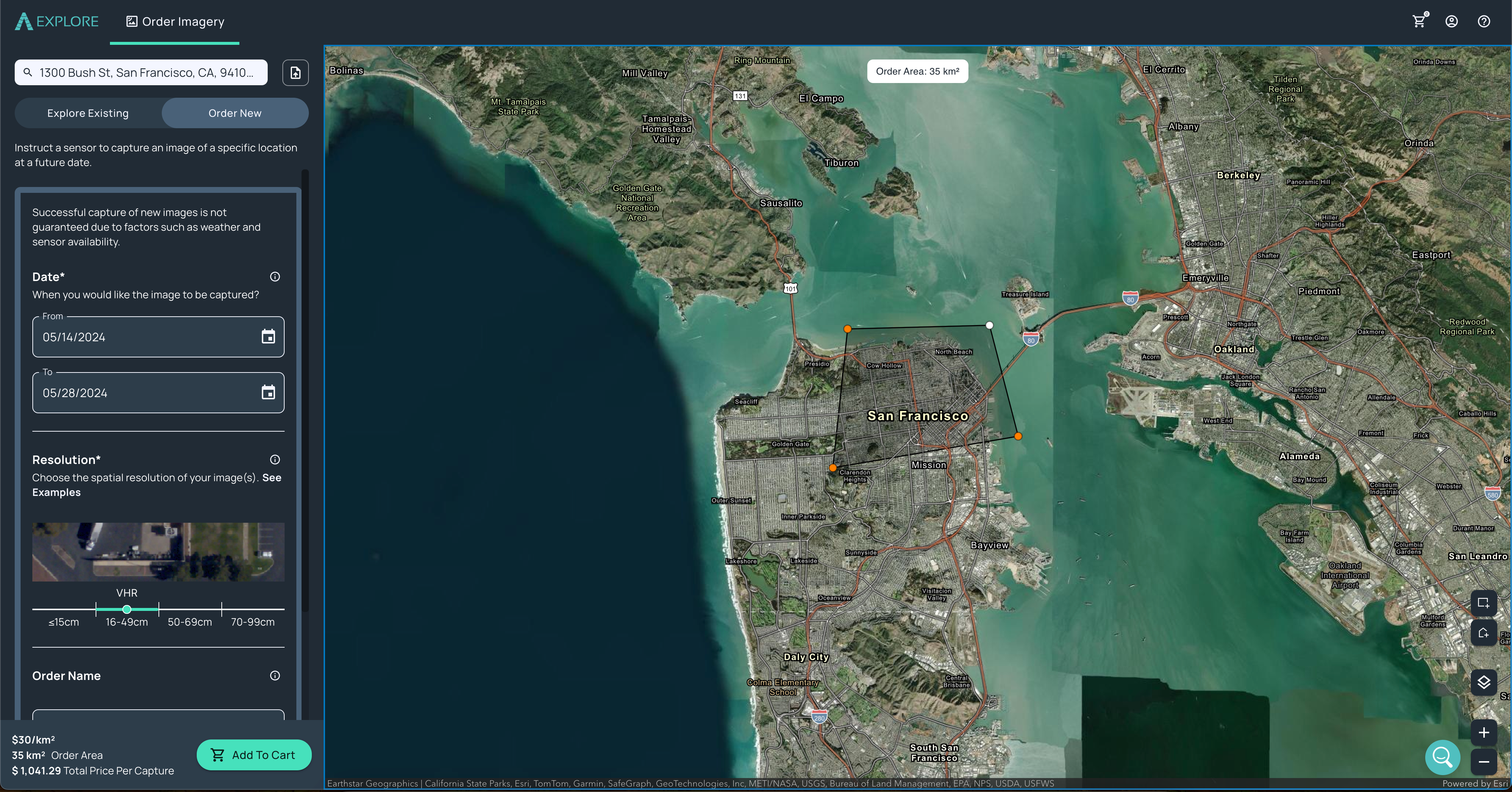
Easily task new imagery
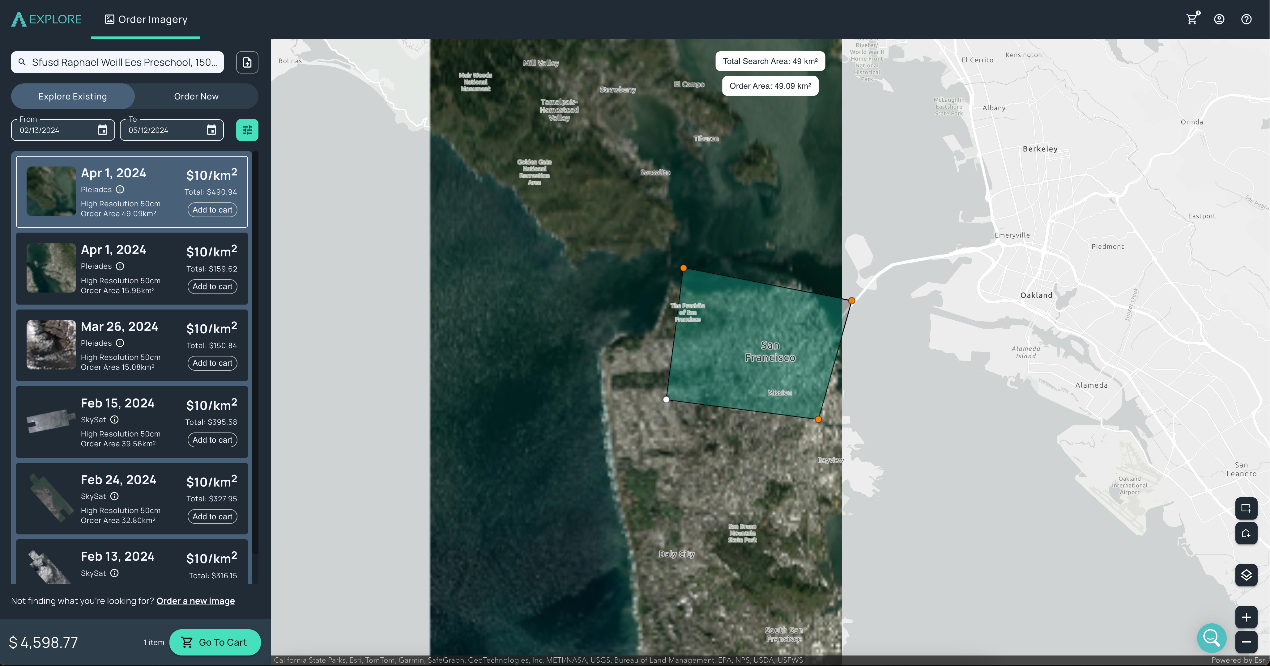
Preview images before purchasing
Transparent pricing
Resources and support
Products for Business Users

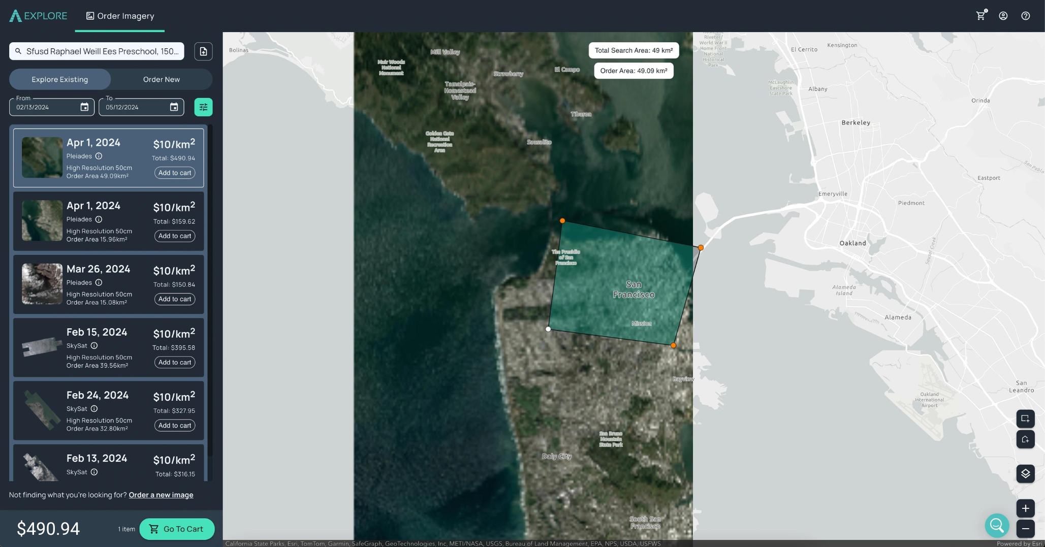
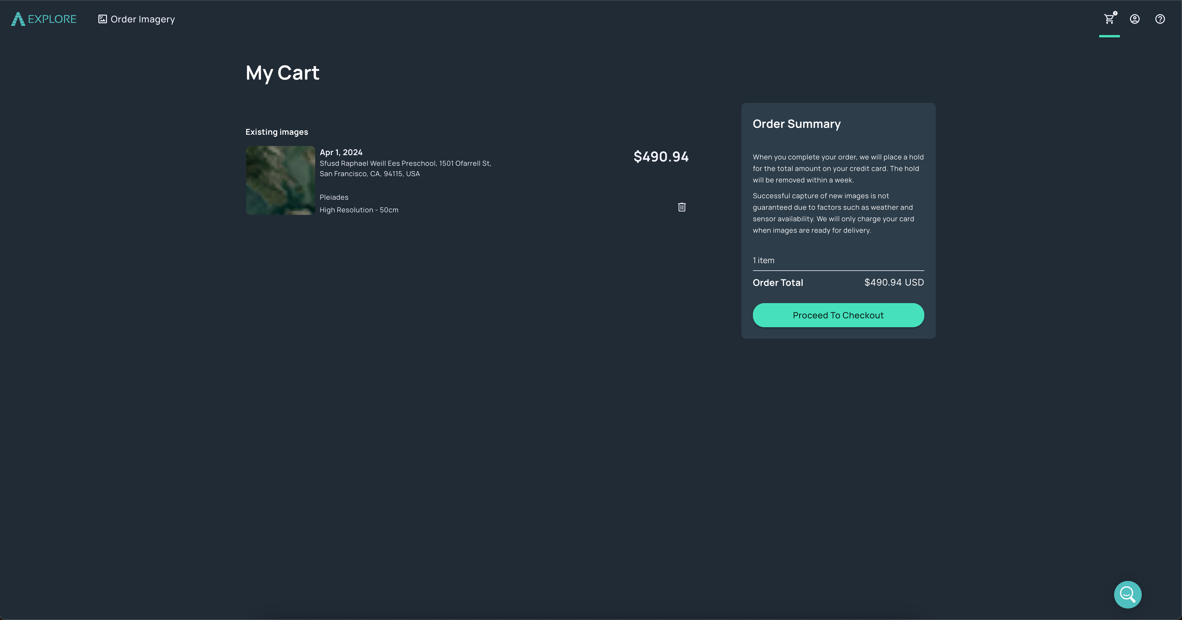
SkyWatch EXPLORE provides an easy-to-use visual interface for discovering and purchasing satellite imagery and other types of Earth observation data.
SkyWatch HUB provides organizations with a centralized hub for all of their Earth observation data procurement, publishing, and management.

MAP offers a set of applications for geospatial professionals to easily integrate Earth observation data into the GIS software they use every day.


