Integrate geospatial data into your application
The SkyWatch platform provides the building blocks for integrating and monetizing geospatial data within your application.
You need reliable access to Earth observation data to build prototypes, train your models, and deliver valuable insights to your customers through your application. The SkyWatch platform provides a powerful API and the services you need to access to the world’s largest virtual constellation of Earth observation data.


Why should you get your geospatial data from SkyWatch?
Access to 700+ sensors from the world's leading providers
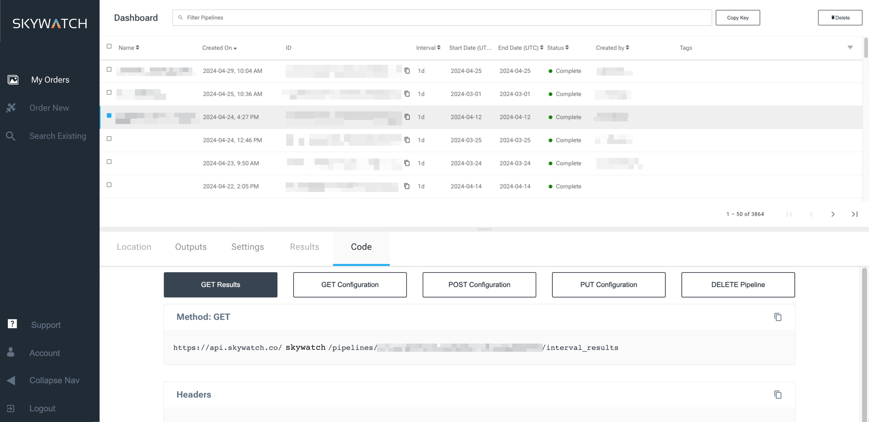
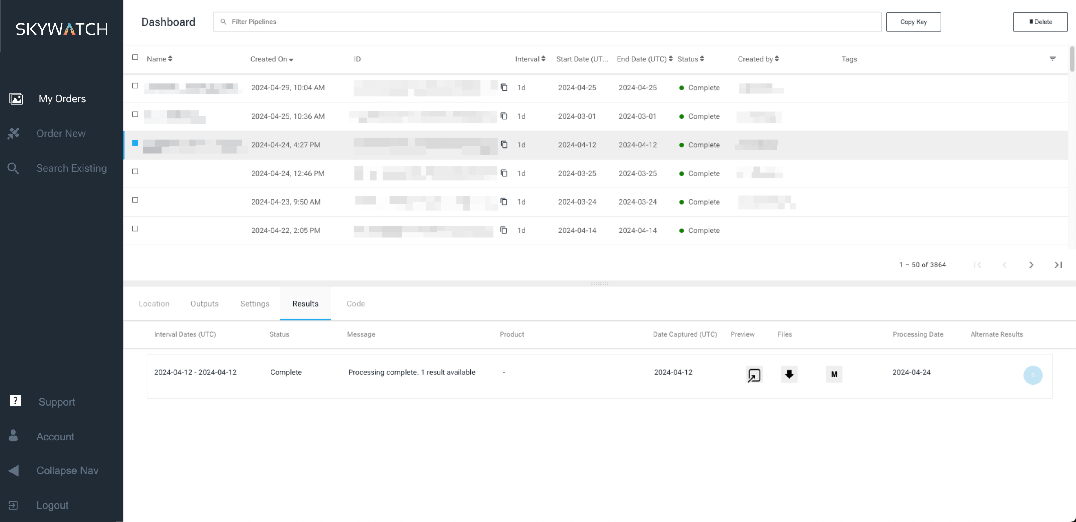
Send and receive data with one POST and one GET
Programmatically access archive data or place tasking orders
ACCESS SkyWatch platform services
Identity
Create, validate, and manage users of the SkyWatch platform
Archive & Tasking
Request existing or new data captured by over 700 sensors
Order
Manage interactions between the other platform services to ensure users receive data
Fulfillment
Ingest and process data received from provider systems
Payments
Integrated e-commerce capability, optimzed for small-parcel, pay-as-you-use transactions
Policy
Maintain and enforces business rules at the user, organization, provider, and source levels
Location
Ingest and process search areas
Products for Developers

BUILD offers developers the building blocks for integrating Earth observation data into their applications, including a robust API and turnkey services for user authentication, compliance/KYC, licensing, and payments.

SkyWatch EXPLORE provides an easy-to-use visual interface for discovering and purchasing satellite imagery and other types Earth observation data, including low-resolution and open source data.