EarthCache Enterprise

Simplify remote sensing operations and boost ROI on data investments

EarthCache Enterprise is the comprehensive solution for sourcing, managing, and extracting value from Earth observation data for commercial and public sector organizations.
Previous slide
Next slide

Remote sensing data is a critical business asset

But it's rarely treated that way. Typically, remote sensing data has narrow usage within organizations, whether due to a lack of GIS expertise, costly and complex software, or expensive and complicated business models. There are tools that make it easier to buy more data, but they don’t help to maximize the value of the data once it is inside your organization.

EarthCache Enterprise allows organizations new to remote sensing data to start realizing its benefits, without hiring for rare and specialized expertise, or making large investments in complex software and data sourcing. And it provides more advanced organizations with the tools and insights to improve ROI on existing remote sensing operations, rationalize investments in data, and bring all remote sensing activities under a common set of operational and financial controls. 

Manage your remote sensing data

EarthCache Enterprise is a turnkey, enterprise Software-as-a-Service (Saas) platform, spanning the full remote sensing data lifecycle.

EarthCache Enterprise manages the full remote sensing data lifecycle (Sourcing data, managing data, using data)
Control Costs
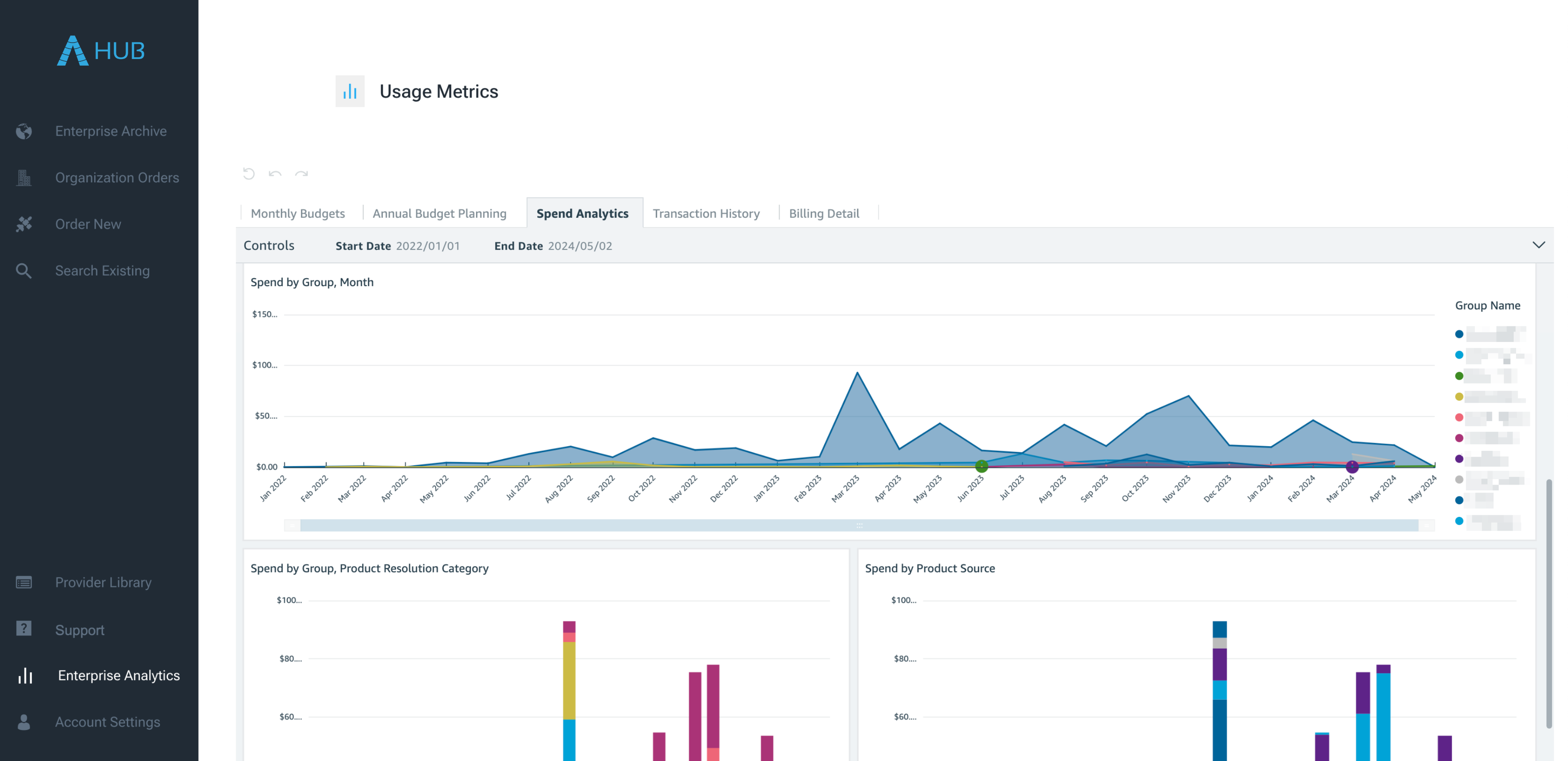
Unify all remote sensing data in a single platform, reducing redundant AOI capture and unnecessary expenditures. Unlock at-a-glance insights into remote sensing data purchases, spend, usage, and source performance to manage budgets, measure ROI, and identify inefficiencies.
Centralize Operations
Establish and manage enterprise-wide remote sensing policies, and gain consolidated insights into data expenditures, usage, and performance across the organization.
Spur Innovation
Enable innovation and collaboration with a single enterprise-wide data archive, user roles and permissions, and secure, one-click sharing of imagery.
Previous slide
Next slide

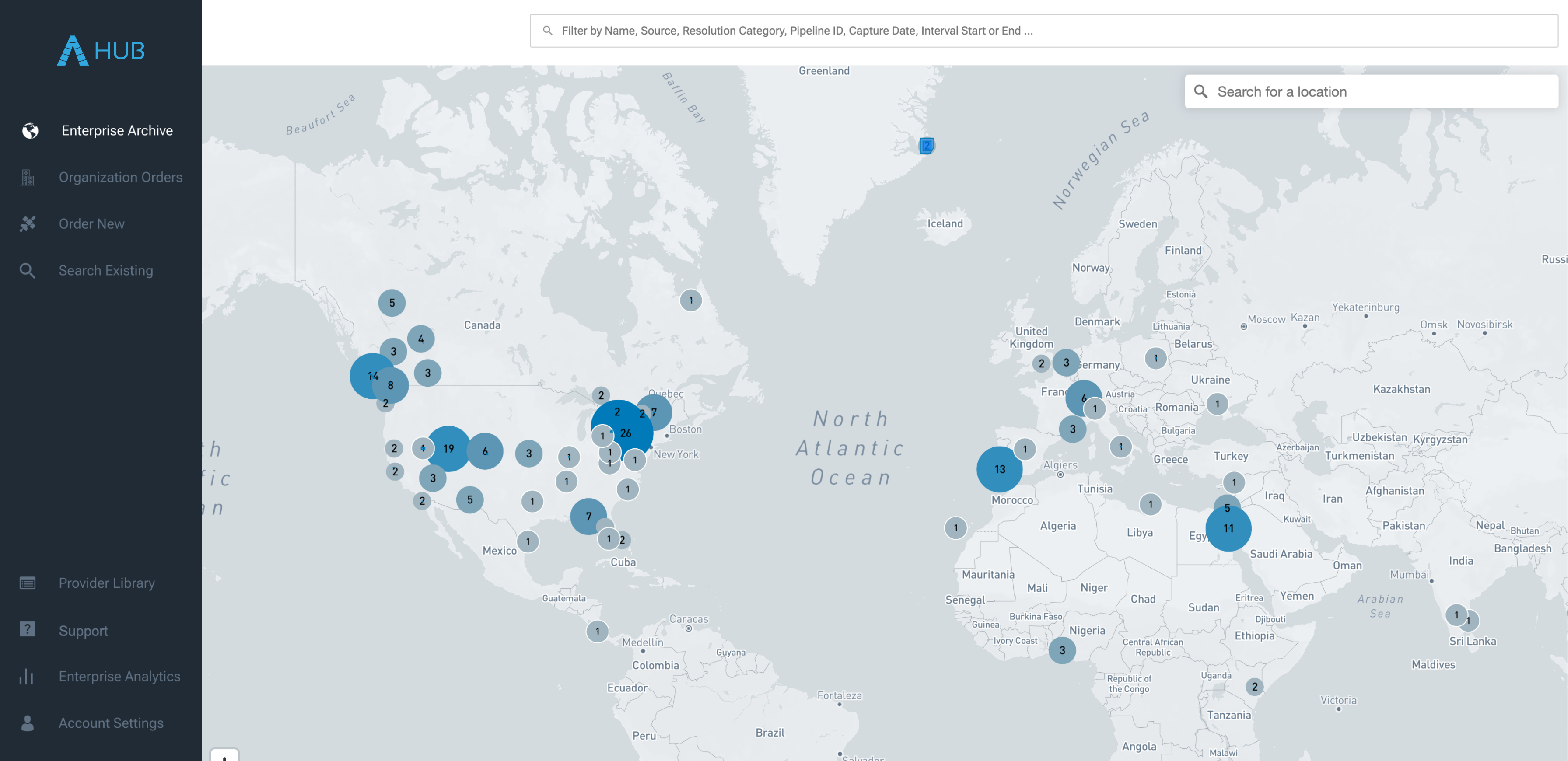
Enterprise Archive

Access a centralized, fully indexed, perpetual, high-availability archive for all remote sensing data assets.

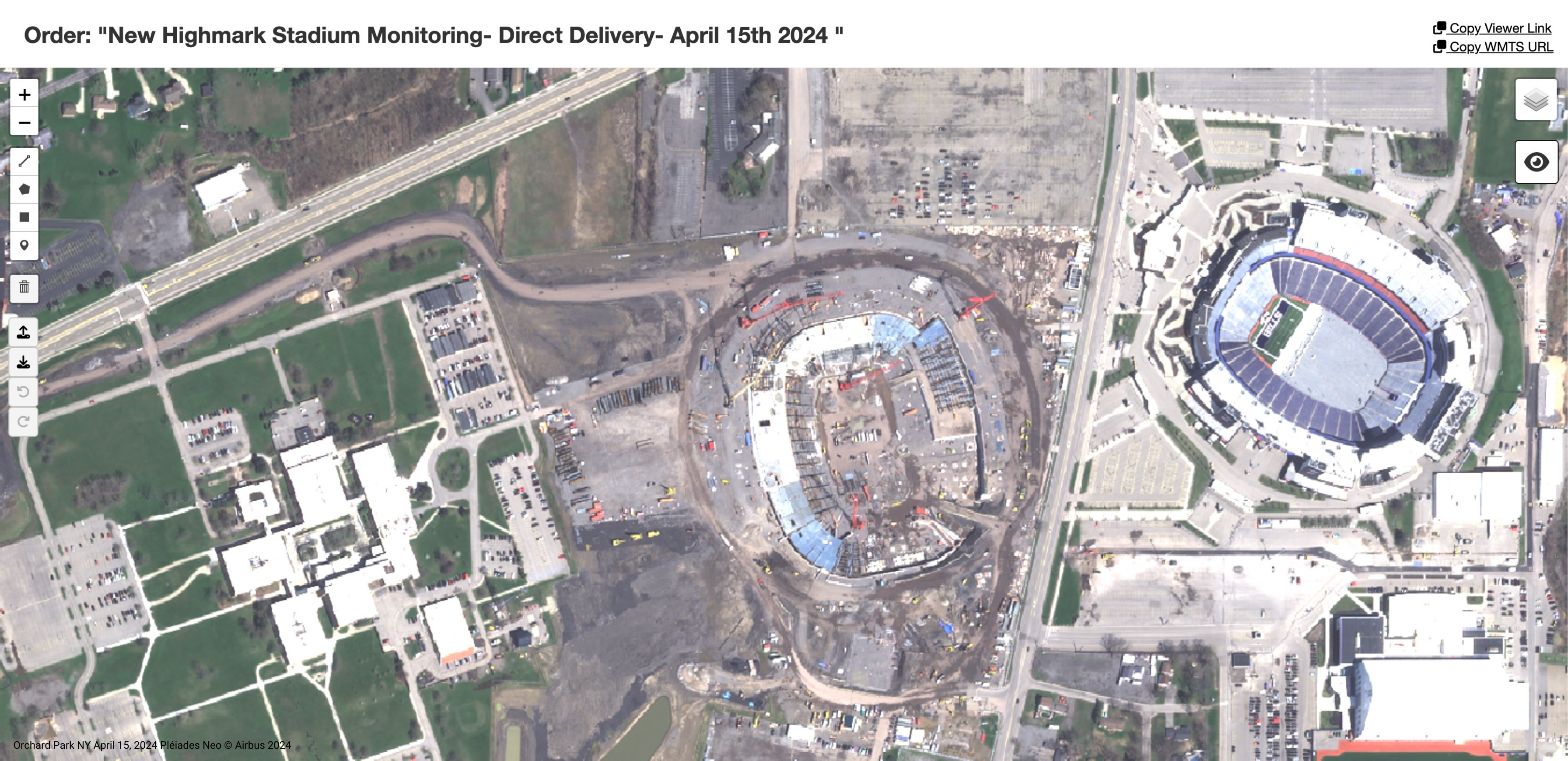
Seamless Imagery Sharing

Provide instant, browser-based access to remote sensing data, with integrated view, pan/zoom, and download functionality with DirectView.

Enterprise Analytics & Intelligence

Leverage at-a-glance insights into remote sensing data procurement, usage, and performance across the enterprise. Optimize sourcing, maintain policy compliance, and stay on budget.

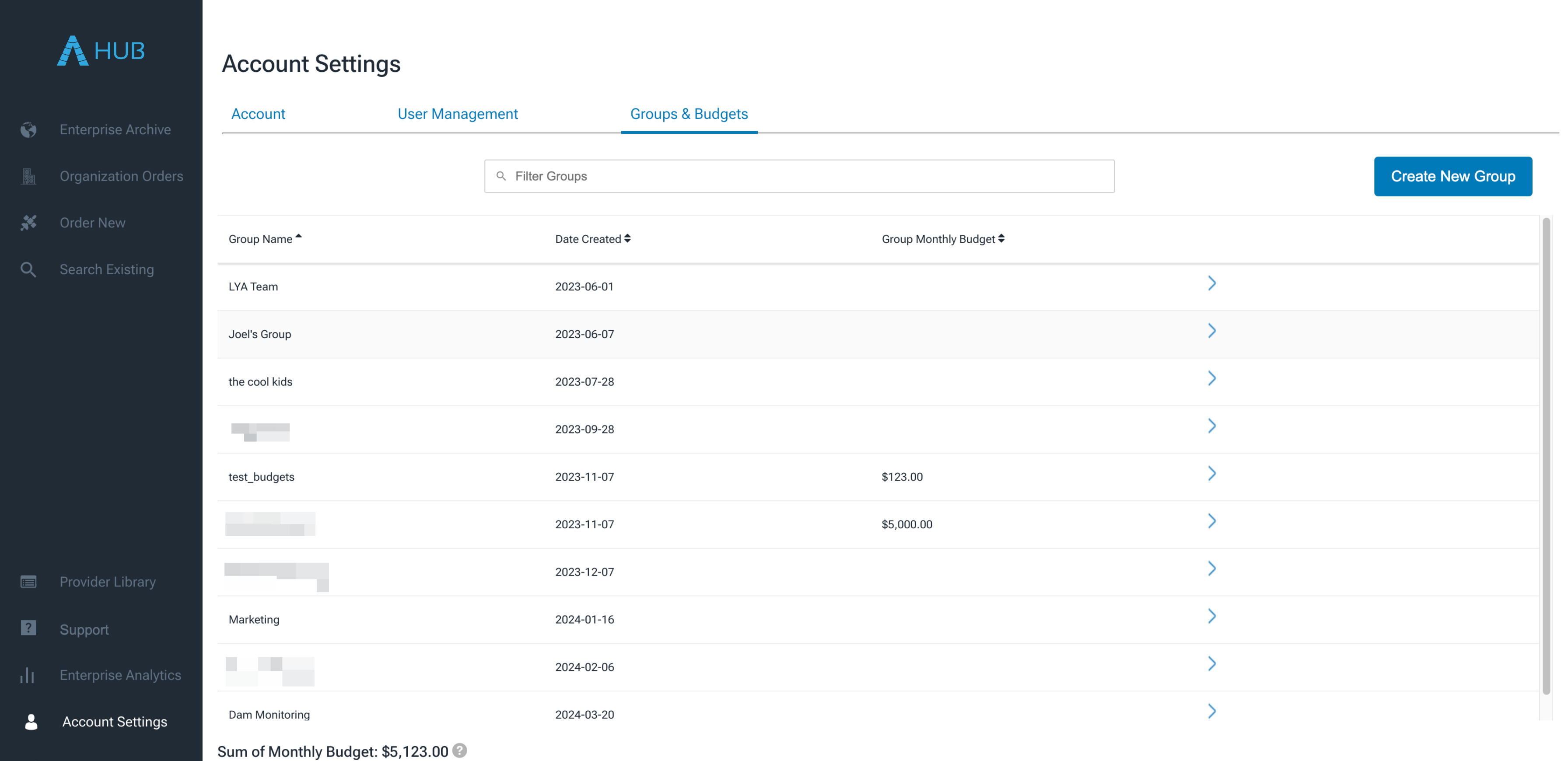
User & Policy Management

Establish and manage remote sensing data policies and budgetary controls with user groups, roles, and permissions, and project-level invoicing.

Enterprise Data Hosting in ArcGIS

End-to-end compatibility with ArcGIS enables the acquisition, hosting, and distribution of remote sensing data to a variety of users and endpoints.

Multisource Data Access

Unify all sourcing, access, and delivery in a single platform, across multiple modes of capture, data formats, and purchase vehicles.

Professional Services

Access bespoke services and solutions designed by remote sensing professionals for maximizing EO data value and simplifying provider interactions.

Enterprise Support

24/7 access to technical support to scale and optimize remote sensing operations. Includes proactive monitoring of order, collection, and delivery, and advisory services for new data sources.

Access Earth observation data from

See EarthCache Enterprise in action

Sign up for EarthCache Enterprise

Copyright © 2023 SkyWatch Space Applications