
Many countries contribute to space, but how do Canadian satellites stack up? Canada has a long history in satellite technology and space research, including the Canadarm, the remote-controlled robotic arm that deployed, captured, and repaired satellites, positioned astronauts, and moved cargo on the Space Shuttle. The Canadian Space Agency (CSA) has played a critical role in helping us understand our planet and the universe beyond. This article looks at how Canada has contributed to the global satellite industry, and how the data from these Canadian satellites informs decisions in areas from environmental monitoring to disaster management.

Active Canadian Satellites
RADARSAT Constellation Mission
The RADARSAT Constellation Mission (RCM), launched in 2019 and declared operational in November 2019, represents Canada’s current generation of Earth observation satellites. The three identical synthetic aperture radar (SAR) satellites serve several critical purposes:
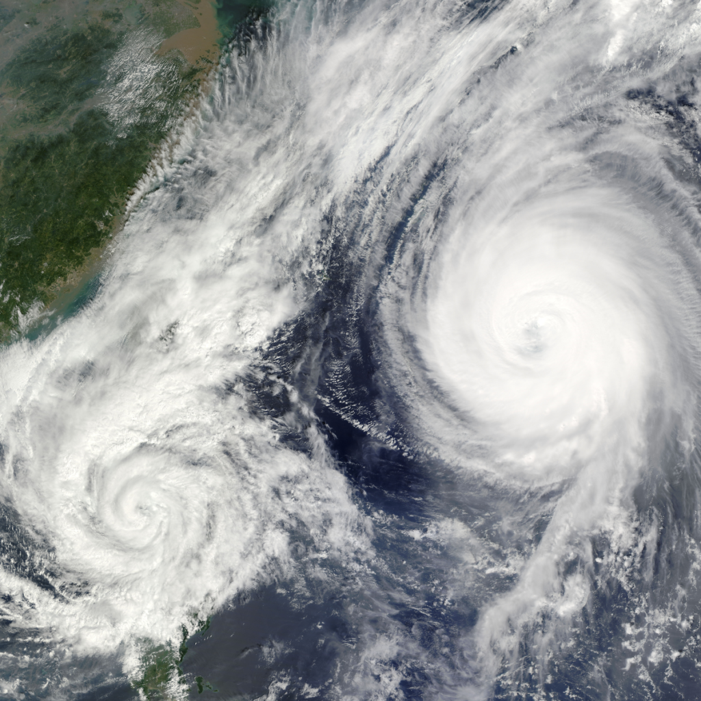
- Maritime surveillance: RCM provides daily coverage of Canadian waters for ship, ice, and oil-spill monitoring, helping safeguard the country’s extensive coastlines.
- Disaster management: Its all-weather, day-or-night radar data supports rapid response during floods, storms, and other emergencies.
- Ecosystem monitoring: The satellites contribute to studying ecosystems, supporting conservation and sustainable resource management.
To secure long-term continuity, the CSA awarded MDA Space a contract in June 2026, valued at CA$688 million, to build a next-generation SAR satellite that will operate alongside the existing RCM constellation as part of the government’s RADARSAT+ program (Canadian Space Agency, 2026).
RADARSAT-2
Launched in 2007 and developed by MDA, RADARSAT-2 continues to operate and serves several purposes:
- Ice, marine, and environmental monitoring: It provides data for tracking ice cover, monitoring marine activity, and studying environmental change.
- Disaster and resource management: RADARSAT-2 helps assess the impact of natural disasters and optimize resource management.
SCISAT
Launched in 2003, SCISAT primarily studies the ozone layer. It covers polar regions, tropical zones, and mid-latitudes, contributing vital data for global atmospheric and environmental research.
Canadian Satellites in Development
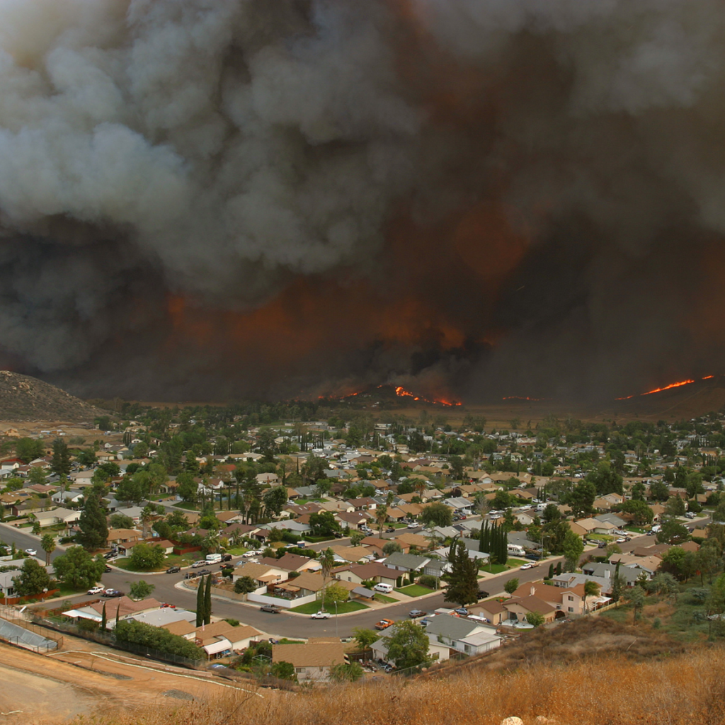
WildFireSat
WildFireSat is planned to launch in 2029 as the first government-owned mission dedicated to monitoring active wildfires across Canada on a daily basis, while also supporting international wildfire monitoring. It aims to improve how agencies anticipate wildfire behaviour and to deliver accurate smoke and air-quality data. The CSA cancelled its design contract with Spire Global Canada in April 2026 but has reaffirmed its commitment to delivering the capability by 2029 within budget (Via Satellite, 2026; Canadian Space Agency).
HAWC
HAWC (High-altitude Aerosols, Water vapour and Clouds) is Canada’s contribution to NASA’s Atmosphere Observing System (AOS), planned for launch in 2031. It will support extreme-weather prediction, climate modelling, and air-quality forecasting by observing aerosol particles, upper-atmosphere water vapour (a potent greenhouse gas), and the properties of water vapour and ice clouds (Canadian Space Agency).
International Satellites with Canadian Contributions
CloudSat
Launched by NASA in 2006, CloudSat helped researchers understand clouds and their impact on climate and weather, providing insight into cloud structure, occurrence, and volume.
Odin
The Swedish satellite Odin, launched in 2001, has played a vital role in climate and atmospheric research. Canada’s OSIRIS instrument on Odin measures atmospheric composition, focusing on ozone depletion, aerosol concentrations, and nitrogen dioxide levels.
SMAP (Soil Moisture Active Passive)
NASA’s SMAP satellite, launched in 2015, maps soil moisture and freeze/thaw states. It aids climate and weather forecasting, drought monitoring, and flood prediction.
SMOS (Soil Moisture and Ocean Salinity)
Launched by the European Space Agency in 2009, SMOS was the first satellite designed to map sea surface salinity and monitor soil moisture, providing valuable data on water movement and climate systems.
SWOT (Surface Water and Ocean Topography)
Launched in December 2022 and operational since 2023, the SWOT mission, led by NASA and France’s space agency CNES with contributions from the CSA and the UK Space Agency, delivers detailed information on Earth’s surface water. It surveys water bodies and observes changes in lakes, rivers, reservoirs, and oceans (NASA JPL).
Terra
NASA’s Terra satellite, launched in 1999, carries multiple instruments for observing Earth’s systems. The Canadian-built MOPITT instrument measures carbon monoxide concentrations, aiding long-term pollution forecasts and control strategies.

Why Canadian Satellites Matter
Canada’s role in space extends far beyond its borders. From active Canadian satellites like the RADARSAT Constellation Mission to international collaborations such as SWOT and Terra, Canadian contributions are vital to understanding our planet. These satellites play an indispensable role in environmental conservation, disaster management, and climate research, making Canada a significant player in the global space community. Much of this work depends on SAR, the radar technology behind RADARSAT. To learn more, read What is SAR.
Looking to acquire satellite imagery for your next project? You can access data from RADARSAT and hundreds of other providers through SkyWatch EXPLORE, or scale enterprise data procurement with SkyWatch HUB.

