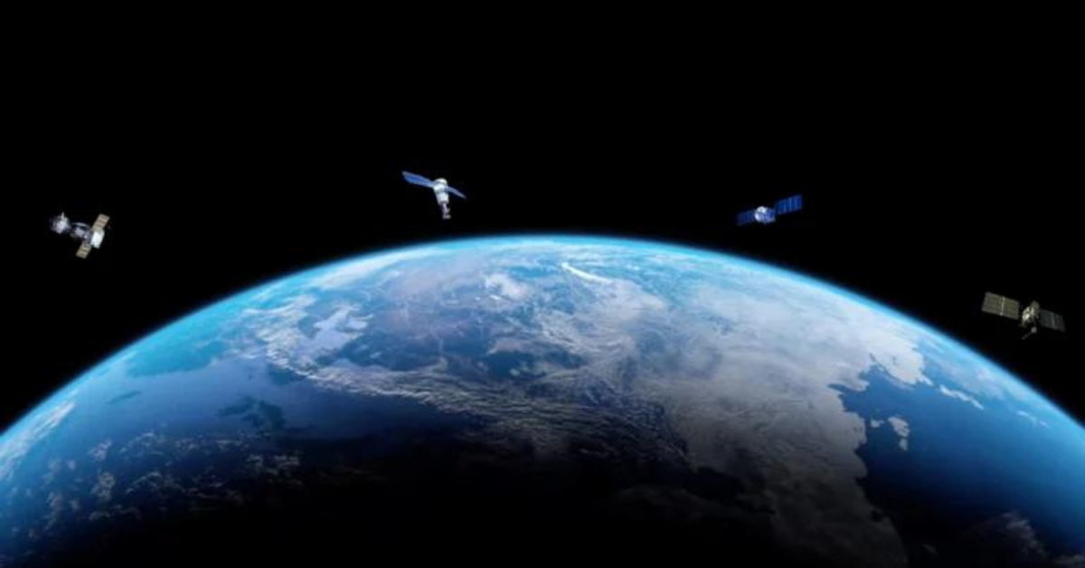
Remote sensing, a powerful technology that allows us to gather information about the Earth’s surface or other objects from a distance, has revolutionized various fields, from environmental monitoring to urban planning. While it offers numerous advantages, it is crucial to acknowledge there are disadvantages of remote sensing that can feel like drawbacks. In this article, we will delve into the advantages and disadvantages of remote sensing and explore the factors that can impact its effectiveness.
A remote sensing system has six components to gather valuable data. In an era of technological advancements, remote sensing technologies have emerged as invaluable tools for understanding and monitoring the Earth’s surface. These innovative technologies enable us to gather data by sensing the energy emitted, or reflected, by a geographical area. Whether for scientific research,…
Many countries contribute to space with satellites, but how many Canadian satellites exist? Canada has a long history of satellite technology and space research, including the development of the Canadarm, a remote-controlled robotic arm which deployed, captured and repaired satellites, positioned astronauts, maintained equipment, and moved cargo. The Canadian Space Agency (CSA) has played a…
Taking photos from orbiting satellites, also known as “tasking,” is a practice among many Earth Observation [EO] data providers. After seeing some comments on Twitter, we wanted to outline the value of tasking satellites and how SkyWatch’s platform EarthCache can help you take amazing photos on Earth from space. In this article, we’ll define tasking,…
At SkyWatch, we believe that Earth Observation should be simple for everyone. If you’re a satellite operator, you have unique needs to serve a market of high-value customers. TerraStream is a platform you can leverage to manage, process and deliver your data to a wider market. In addition, we have an aggregation platform called EarthCache…
So why should you care about TerraStream? Many satellite companies that we talk to, especially the seed-funded early-stage ones, are very entrepreneurial, very smart engineers. They believe they can build anything, and they probably can. The question is, what should they build? When you’re building a platform for a satellite constellation, there are many things…
Connect To Ground Stations A ground station is a physical location with an antenna that allows a satellite operator to downlink the imagery from their satellite after it’s been collected. When launching, most companies don’t build their own ground stations. Instead, they look for partners who already have large networks of ground stations. These can…
The Two Resolutions To Focus On Satellite imagery can be very intimidating because there’s a wide range of resolutions. And as a new person in the industry, you might be completely overwhelmed. At a high level there are two resolutions we think of in the satellite imagery ecosystem. We think of Spatial Resolution which is…
The Problems Facing Earth Observation Businesses We’ve had a chance to speak to a lot of companies in the Earth Observation business. There is number of challenges that they have when they’re launching satellites. At SkyWatch we’ve built a product that solves the problems of: But there are also other problems that satellite operators have….
Your First Question When Accessing Satellite Imagery “What data do you need?” is probably the first question you’ll have when logging onto the EarthCache platform. The first thing to look at is resolution. We offer a varying spectrum of resolutions on the EarthCache platform all the way from low to high resolution. Low resolution is…


