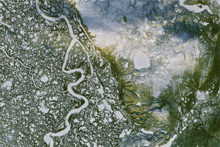
Soil moisture estimates can help farmers assess plant health, aid in predicting crop yields, let governments can help alleviate and protect against floodings, measure urban water use for city planners, and more.
While ground sensors are the most accurate tools for tracking water, they are costly and difficult to move quickly. Using satellite sources provides an economical option for monitoring large and remote areas. It can be invaluable for assessing change and understanding trends like drought assessments and river overflow effectiveness.

HOW TO ASSESS SOIL MOISTURE FROM SPACE
A thermal-optical trapezoid model (TOTRAM) uses thermal and optical sensor data to estimate soil moisture using satellite data. The model assumes that soil water content is related to ground surface temperature.
Based on optical data, scientists can determine the relationship between ground temperature and soil moisture in a specific area on a specific day, based on vegetation and soil type. Based on that relationship, moisture is calculated using thermal data.
REMOVING TEMPERATURE FROM THE EQUATION
Some satellites, such as Landsat-8, carry both thermal and optical sensors. But not all do. This can limit the data sources when looking at an area or date range. This is why Utah State University scientists Morteza Sadeghi and Scott Jones, in collaboration with their colleagues Ebrahim Babaeian and Markus Tuller at the University of Arizona, decided to create a new model that would only use optical measurements [Sadeghi et al. 2017. The optical trapezoid model: A novel approach to remote-sensing soil moisture applied to Sentinel-2 and Landsat-8 observations. Remote Sensing of Environment, 198, 52-68]. With this, they can use data from both Landsat-8 and Sentinel-2 satellites, even though Sentinel-2 does not capture thermal data.
The researchers also found the previous model, TOTRAM, to be somewhat cumbersome because it required additional calibration for each environment and each observation date. The relationship between ground temperature and soil moisture could be altered by near-surface air temperature, relative humidity, wind speed, or other environmental factors.
A GROUND REFLECTANCE MODEL
To counter these limitations, Sadeghi and colleagues used ground reflectance rather than temperature to determine how much water was on the ground. In the context of recent physical relationships between soil moisture and shortwave infrared-transformed reflectance, the optical-trapezoid model (OPTRAM) was developed. Data would indicate that water, even in the ground, reflects certain wavelengths in a specific way.
Sadeghi and colleagues used ground measurements of soil moisture in several US locations to gauge accuracy and validate and calibrate the model. Ground testing soon revealed the new model (OPTRAM) to be just as accurate as the old model (TOTRAM).
Since reflectance and moisture are less affected by the environment than temperature and soil moisture, the new model needed only to be calibrated once per location and was much less dependent on when the data was collected.
It is possible to track soil moisture with this new model not only with Landsat-8 but also with Sentinel-2 satellites. Any optical satellite covering these spectral bands can now be used. This provides scientists with another useful tool for tracking soil moisture. Because the model requires less calibration, it is also considerably less expensive in terms of computing resources.
EXPANDING THE MODEL
In addition to improving their new OPTRAM model, Sadeghi and colleagues are also looking for additional remote-sensing datasets that could be used to infer soil moisture, such as MODIS, after their initial research, funded by the National Science Foundation, has been published.


