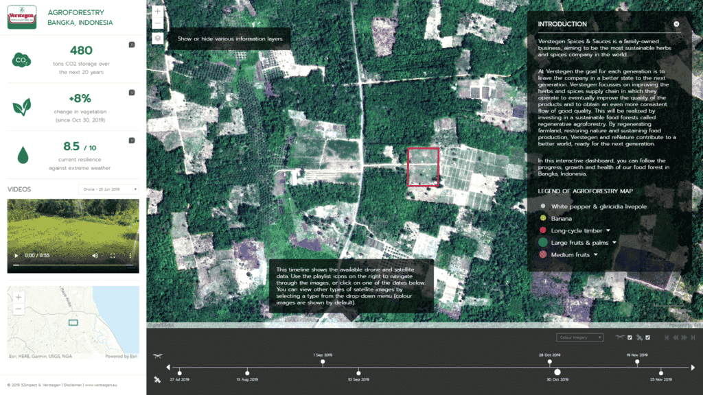
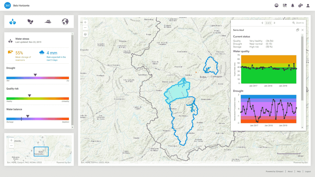
52impact brings spatial (satellite, aerial, and drone) information to markets who haven’t been using these types of datasets. The company is working with decision makers in industries who haven’t previously worked with geospatial data. The group leans heavily on close customer relations and data visualization to help bridge the gap between the images and the insights.
52impact is headquartered in the Netherlands and currently focuses on water risks, waste management, and sustainable business practices, especially in the agriculture and forestry sector.
How 52impact uses satellite data
Thijs Perenboom, Technical Project Lead – Data Processing & Data Science at 52impact walked us through how the company finds actionable insights using geospatial data to help companies implement new sustainable policies and improve results.
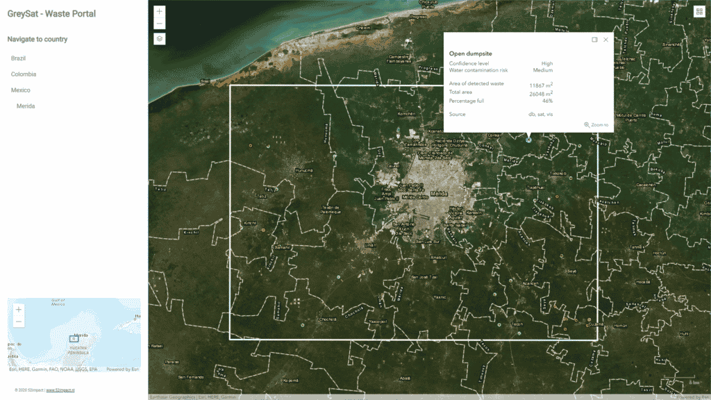
Thijs shared a project with SkyWatch that the team at 52impact recently worked on around waste management. Their new solution, GreySat, provides countries and regions with up-to-date information about waste generation and waste dumps. They use a combination of modelling, statistical data, and satellite imagery to make accurate predictions about waste development at the regional level.
As the team found out, many of the currently available open datasets around waste dump locations are incomplete. By merging several satellite datasets they were able to extract the ‘spectral profiling’ of new dumpsites and infer where unmarked sites were located. “With an additional layer of very high-resolution satellite data, we even found information about waste distribution and which possible materials could be present in the landfills”, mentioned Thijs.
When asked about why the team chose satellite data over drones or aerial maps, Thijs explained that “satellite data is much more efficient if you are looking at large areas. It is also significantly faster and less expensive. In less than a few weeks, we have analyzed 4 different countries in South America.”

Aggregation is the name of the game
52impact works with a variety of geospatial and non-geospatial datasets. Finding a satellite data platform that offered access to multiple datasets at once, like EarthCache, helped simplify their operations. They primarily use satellite data for large-scale projects. They also rely on infrared data for material, soil types, and vegetation identification, which several satellite sensors provide on top of the visible light bands. The team at 52impact primarily uses medium resolution open satellite datasets, like Landsat-8 and Sentinel-2, as well as high resolution commercial data such as Planetscope and very high resolution imagery like Kompsat-3A and SkySat, which they use to monitor specific areas of interest. “We like to mix and match, combining medium, high, and very high resolution imagery throughout the year” commented Thijs.
For many companies like 52impact, flexibility around resolution allows teams to increase the amount of data they can use, offer more frequent revisits, while also helping to keep data purchasing costs down.

Self-serve access to satellite data
“I really like the interface. I can log in or use the API anytime I want and order data. In just one click you can order an image. It’s pretty cool” recalls Thijs.
Before using EarthCache, Thijs would spend time negotiating contracts to purchase imagery, sometimes up to 8 months ahead of the project. Also, the team was responsible for storing the data once it arrived. Whereas all data accessed through EarthCache is already stored in AWS for easy access.
“We purchased commercial data in the past and there were no online portals. You had to call in and send a shapefile. We are looking to move most of our satellite data workflows to EarthCache in the future. We already use it anytime we need tasking (future data)”, Thijs continued. “I know a lot of other satellite data buyers are looking for alternatives like EarthCache.”

Favourite feature: The Data Explorer
“I really like the Data Explorer. I use it a lot. Mostly to check what data is available for our clients when we discuss upcoming projects.” noted Thijs.
The Explorer view in EarthCache allows developers to preview archive imagery from all data partners over their area of interest over any period of time. This gives them a good sense of how frequently an area is captured already and whether or not the team will need to supplement archive data with tasking data for the project. This also helps get a sense of how frequently an area is covered by clouds throughout the course of a year.
ABOUT 52IMPACT
Established in Rotterdam, Netherlands
Founded in 2017
Development team size: 7 people


