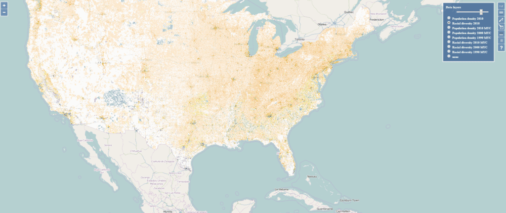
Tomasz Stepinski describes himself as a “physicist, astrophysicist, planetary scientist and mathematician.” Having spent numerous years in Houston making computer models to map out craters and valleys on Mars for NASA, he accepted the distinguished post of Chair of Space Exploration at the University of Cincinnati’s Geography department. Unfortunately, he did not find many admirers from this line of work among his peers. Nevertheless, he still managed to put his skills to use as he directed his attention to more terrestrial phenomena. His latest research project, for example, aims to provide a new view of the diversity of US neighborhoods, a previously neglected topic.

The US government collects Census data at the household level but aggregates it for privacy reasons. Furthermore, block lines may vary between surveys, making it difficult for end users without significant GIS knowledge to compare data and find long-term patterns easily.
Stepinski and his team successfully employed LandSat-8 satellite data, land cover data sets, dasymetric modelling, and a specialized statistical model to algorithmically layer Census data onto a map of the US with a previously unimaginable level of detail – down to the street level. This new view will help even non-technical users track changes “from year to year, and pixel to pixel because the grid doesn’t change.” Currently, the map can display data from 1990, 2000, and 2010; however, professor Stepinski plans to add new 2020 data as soon as it is publicly available.
While waiting for the data, Professor Stepinski is currently developing a model to predict changes in diverse landscape composition in the United States. Many industries and government functions would greatly benefit from having a functional model of population migration patterns, including city planning, urban development, disaster prevention, or even retail and commerce searching for new locations to open.


