Let’s break down data transfers.
Satellite data collection is extensive, with some of the latest high-resolution optical and radar readings gathering gigabits of information each second. The issue lies in sending this data back to Earth, an act known as a downlink. Unfortunately, current technology has these downlinks occurring on sun-synchronous orbits at limited points during the day. During these sessions, which last for no more than nine minutes and are restricted to just hundreds of megabits per second, satellites must travel at speeds from approximately 7.1 km up to 7.8 km per second (4.4 to 4.8 mi/s).
Satellites do not capture data continuously as they may not be capable of relaying it back. This explains why information for particular times and places might not be accessible, although satellites flew over those sites at the specified time. Besides, cloud cover is a likely cause, too, as usually the Earth is surrounded by clouds up to 80%. Those in the SAR satellite can “look through” clouds; however, sending radio waves consume energy that needs to be recharged through their solar panels.
When a satellite passes over a downlink station, it may take several hours for the captured data to be sent back to Earth. Furthermore, afterwards, it must be decoded and transformed into useful information. To do this, metadata must be added – such as precise location, solar angle, and atmospheric readings – for geospatial professionals to understand what they have obtained.
However, the time between capture and final delivery to the end user will shorten as technology advances. AWS built ground stations near their facilities to receive and upload test satellite data in less than 1 minute into its servers. Satellite data applications that require ‘real-time’ updates, such as disaster management and incident response, will eventually require tightening data delivery times.

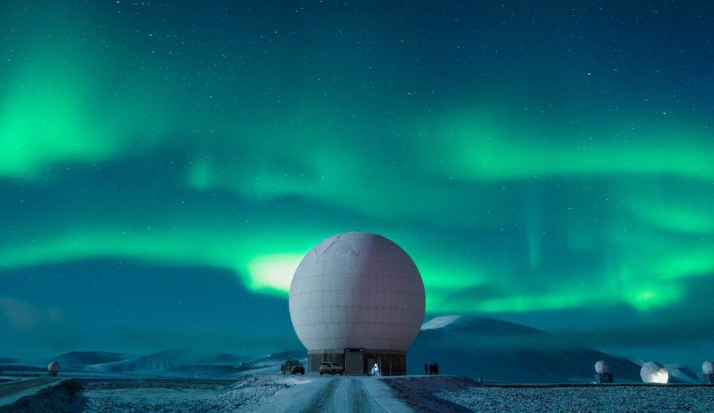
Source: Image of the Svalbard Satellite Station illuminated by the Northern Lights. The Svalbard Satellite Station is one of the only two Satellite stations close enough to the pole to be able to see low altitude polar-orbiting satellites on every revolution as the Earth rotates.
Image by Reuben Wu, shared by Lonely Planet.


