Tasking is the act of “ordering” new satellite imagery from a specific satellite. To task a satellite, coordinates of an area of interest (AOI), time frame and interval are sent to the satellite provider. The satellite will capture an image of that area during the specified time period, weather permitting.
The “tasked” image is then provided to the customer in their specified output format. The available outputs are based on the satellite’s capabilities. Tasking satellite imagery provides a customized experience where you can specify the exact place and time frame, the resolution and the amount of KM covered in the imagery.
There are different ways to access satellite imagery for commercial use. If you choose to use a marketplace like SkyWatch, our product EarthCache works as a console to order the imagery for you. You simply specify what you’re looking for, and EarthCache will find a provider that will task the data.
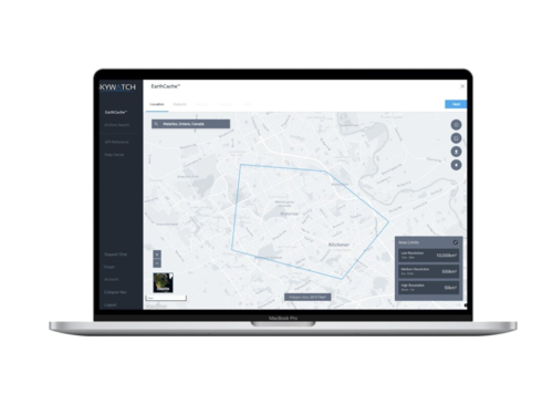
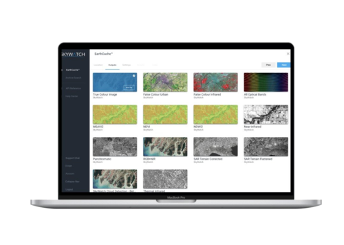
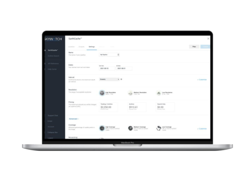
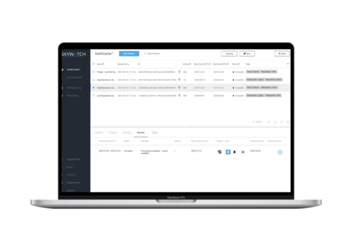
Here is an example of tasking an image through the EarthCache platform.
Draw with the polygon tool or enter GPS coordinates.

Choose the output for your imagery.

Set up your pipeline.

Retrieve data once collected.

Get access to EarthCache to task satellite imagery.


