Choosing the right satellite imagery provider for your project can feel overwhelming, but it comes down to your goals and accessing the right features.
When seeking a satellite imagery provider, ask yourself critical questions about what type of data you’re looking for. Do you need high-resolution images? Are you looking to collect data in an AOI multiple times? How will this data be used? Depending on your preferences, satellite imagery providers can look different from one project to the next.
What type of data are you looking for in a satellite imagery provider?
Many people use the term satellite imagery interchangeably with various types of aerial data. The key differences here lie in the technologies and processes of obtaining said data. Depending on the goals of your project, you may explore imagery from sources such as Drone data, Aerial data, Direct Data Providers, a Marketplace, or Google Earth/Free open-source options.
Defining the sources
Let’s review what these data sources mean and their process of obtaining data.

Drone data: using commercial drones to fly over an AOI to capture imagery.
Aerial data: Aerial data comes from taking photographs from an aircraft or other airborne platforms like balloons.
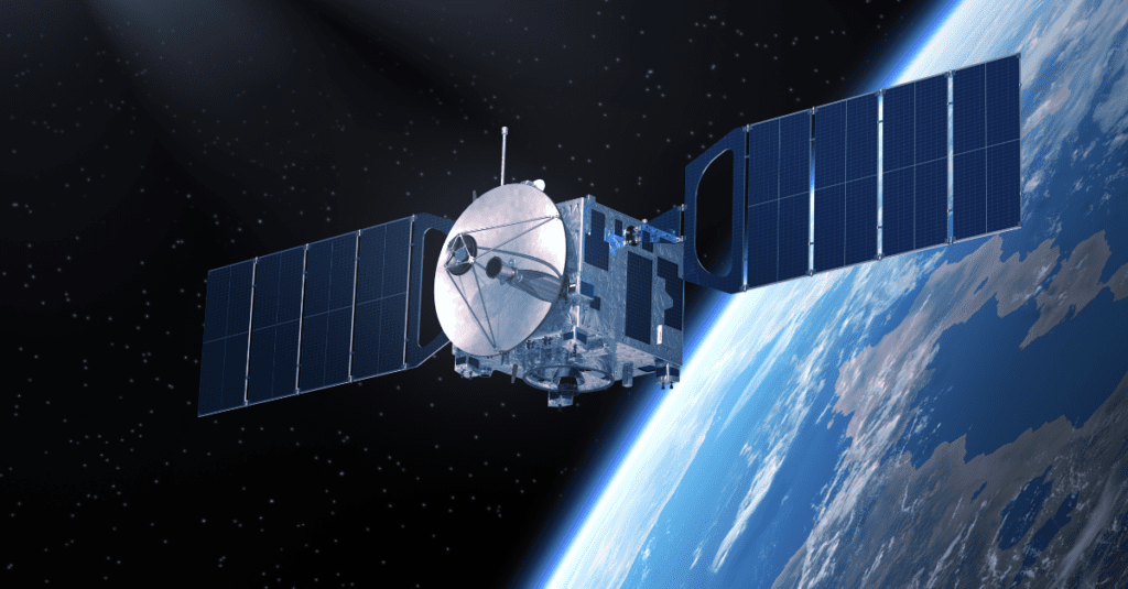
Direct Data Providers: Satellite companies that launch units into space and sell images/data directly to consumers.
Marketplace: A marketplace in the GeoSpatial industry connects direct data providers to a software solution where consumers can request imagery through the platform. SkyWatch’s platform EarthCache is an example of a Marketplace.
Google Earth/free sources: In Google Earth, you may view various images, including satellite, aerial, 3D, and Street View ones. Over time, suppliers and platforms provide images. However, you won’t be able to view real-time changes in the images.
All of these data sources have value, but it’s best to understand the general offerings and how the different data sources compare.
We’ve created a comparison chart to outline the questions and information needed to choose the best satellite imagery providers for your project.
[ninja_tables id=”2245″]
* Varies, but generally higher than 0.05m
** There are additional high fees associated with hiring a drone pilot and analysis.
What’s the right satellite imagery provider for you?
Let’s dig into what these options mean to help you decipher the best options for you. If you need some more guidance, check out our Ultimate Satellite Imagery Guide.
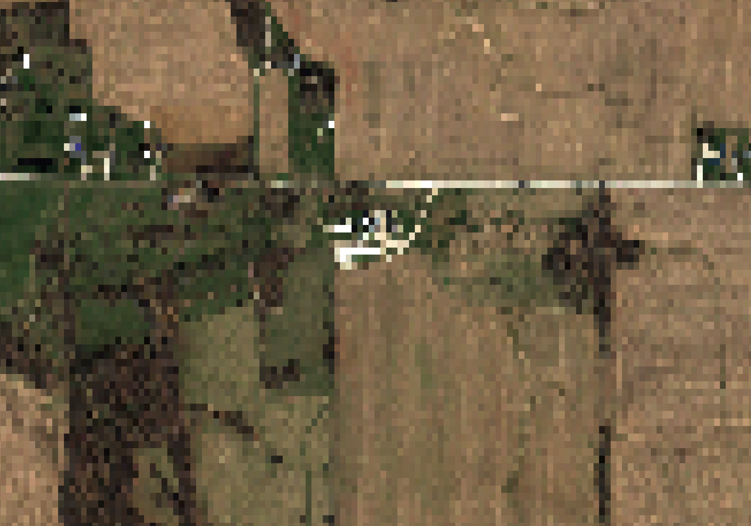
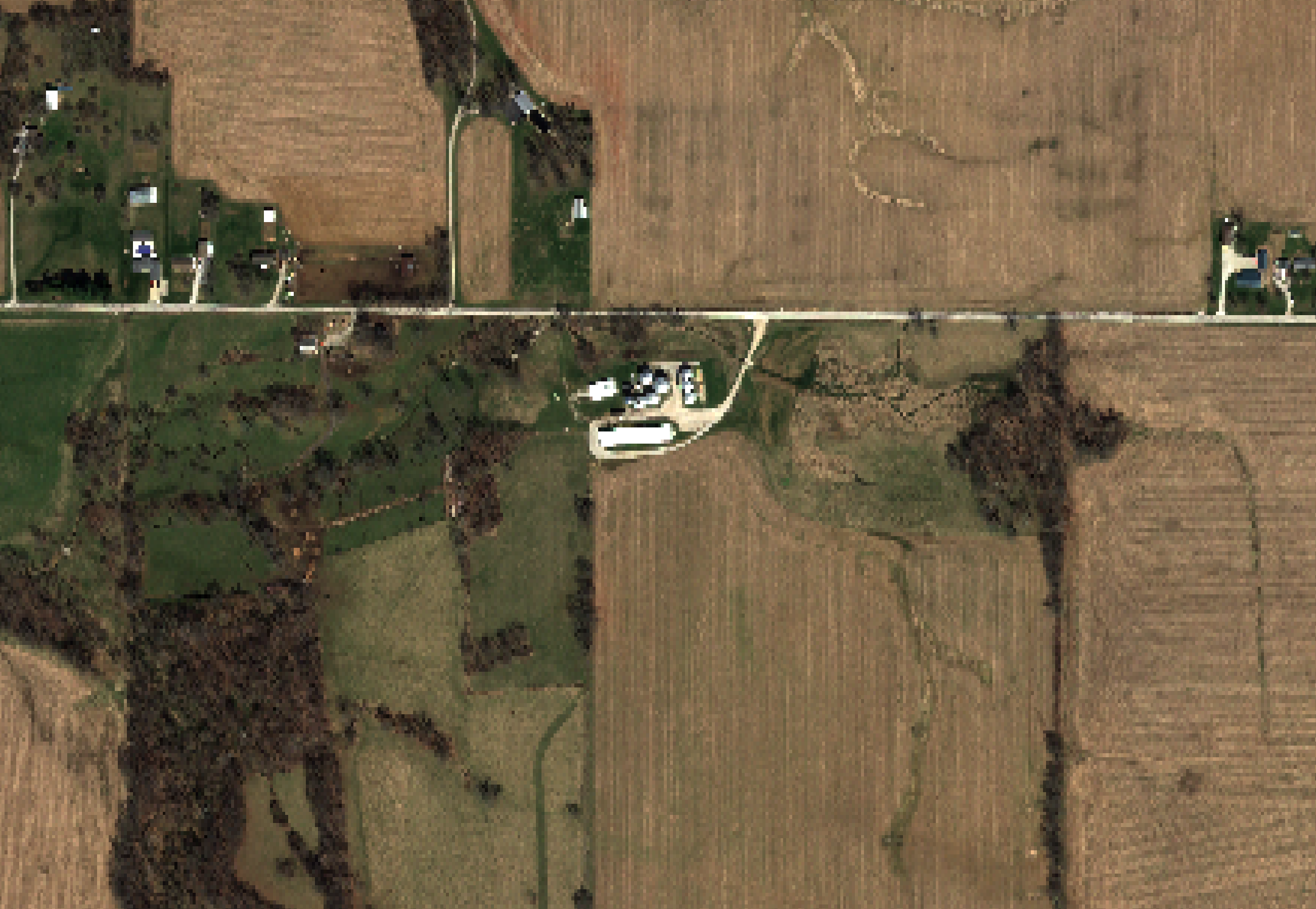
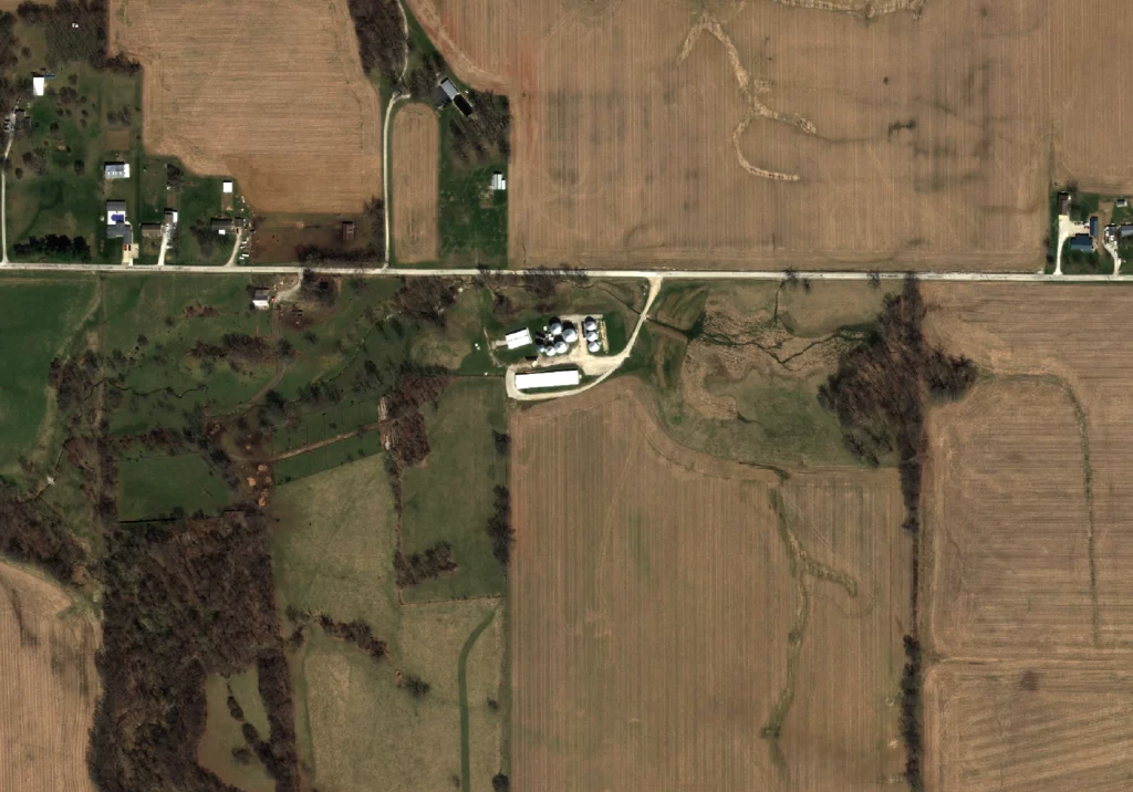
Resolution type: High, medium, and low-resolution types are relatively straightforward. When choosing a resolution type, you need to consider what you’re analyzing in your data. For example, a high-resolution picture is clearer than low resolution, but both can support different actions. If your goal is to have a clear picture of a field to see the full details of what is on that land, high-resolution may be your best option. But, if your goal is to count the number of cows in a field, you may not need to see the high-definition details to identify the figures. Evidently, this will save you money in your budget.
As you can see in the chart, if you choose a drone or aerial option, you’re likely to purchase high-resolution data and pay additional fees beyond the imagery. Every provider is different when listing prices, but most charge by square kilometer with a higher base cost per resolution type. In addition, there may be inconsistencies across resolution options when exploring free options, so if you require something specific, these are all elements to consider.


Resolution: How high is high when talking about resolution? This is the question you’re answering when looking at the resolution column. As you can see, the row lists minimums and maximums of resolution data ranges. Following the measurements by meter, you can capture higher or lower detail per square km. Additionally, drone data is 0.05m, Aerial data can get as high as 0.7 cm, direct data providers and marketplaces can be as high as 0.3m, and Google Earth can be as high as 0.15m.
Contracts: Contracts can feel intimidating if you’re new to using satellite imagery. When working with a Direct Data Provider, you must enter a contract guaranteeing a minimum quota with your account. Some people aren’t comfortable with committing to contracts when they’re exploring imagery for the first time, so they turn to Marketplaces. In a Marketplace, you can get the same imagery with no minimum contracts, creating flexibility and eliminating pressure on the consumer. Also, with Marketplaces, you can pay for the items you need and expand or lower your budget anytime.
Fees: Fees include an operational cost to launch the product. Drones need a pilot and so do the operators of aerial photography. Working with satellite imagery, you don’t need to pay a fee for the unit to be launched into space.
Recent images: Some sources can provide historical data and new imagery, others cannot. Free sources like Google Earth are great to paint pictures of certain areas (and are free), but often times the images are not up to date.
Pricing: As previously noted above, every provider and data source is different in terms of pricing. From our experience, Marketplaces offer the most competitive pricing, Aerial data has the highest fees and drones come a close second. Direct data providers are less expensive than drones and of course, free sources are free.
Speed: Why are drones, aerial, and direct data providers slow? There is a limit to the amount of hardware they have and therefore can only service a few customers at a time. It’s great to get direct from the source, but it can have long wait times. Since Google Earth doesn’t focus on having the most up-to-date imagery, it’s a fast option if your AOI has been serviced. However, if you’re in need of fast tasking, Marketplace holders might be the right place for you. Marketplace holders have partnerships with multiple Direct Data Providers that feed into their platform, offering high-quality imagery with a fast turnaround. When a customer tasks satellite imagery with specific properties, the next available satellite that can fulfill these needs, gets the data, and it’s in the hands of the consumer.
Additional considerations
Here are some additional highlights of things to consider when choosing the right satellite imagery provider for your business.
Things To Consider
[ninja_tables id=”2389″]
Advantages
[ninja_tables id=”2392″]
Post Processing
[ninja_tables id=”2393″]
Now you know the different factors to consider and how they compare from one data source to another. We hope this helps you how to choose the best satellite imagery providers for you.


