Forestry & Natural Environment
Map and monitor deforestation and environmental change
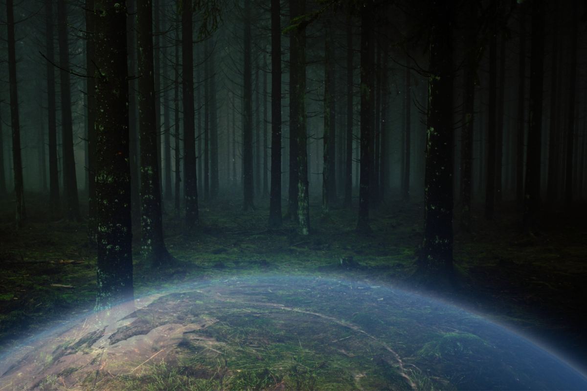
Forests and natural landscapes change constantly — and the activity that matters most often happens in remote areas, under cloud cover, or faster than ground teams can reach. Field surveys are slow and partial, and by the time change is confirmed, the damage is done. SkyWatch gives forestry and environmental teams a single platform to detect, measure, and track change across the natural environment — in any conditions.
The platform
A unified platform for environmental monitoring
SkyWatch gives forestry teams a single place to discover, buy, manage, and integrate geospatial data — no specialized expertise or multiple vendors required.
Discover imagery across providers
Access satellite, aerial, and (soon) drone imagery from a growing ecosystem of providers — without managing multiple vendors.
Purchase and task new data on demand
Order imagery when and where you need it, with transparent pricing and flexible tasking options.
Centralize and manage your imagery
Keep historical and current data organized, accessible, and ready for analysis across teams.
Integrate into your existing workflows
Use imagery directly in GIS platforms like ArcGIS, internal dashboards and analytics tools, and automated monitoring systems via API.
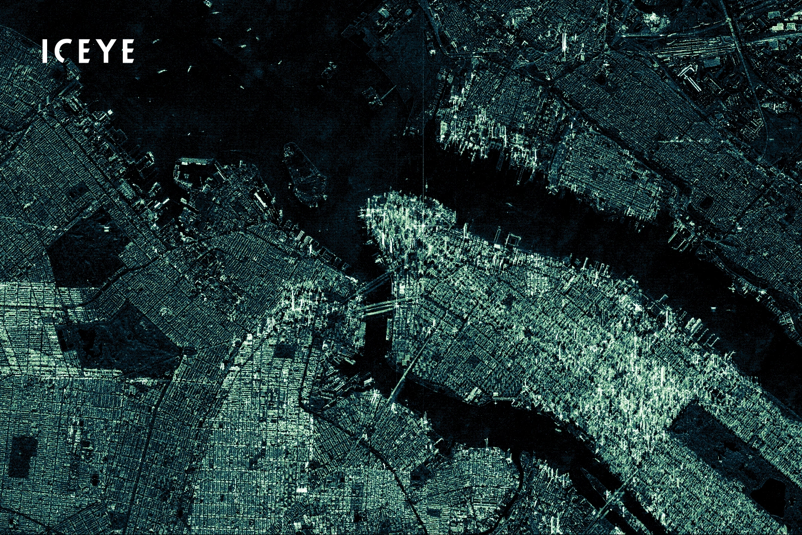
Detect change in any conditions with SAR
Access a variety of data types, including synthetic aperture radar, to detect deforestation, assess wildfires, and assist remediation — even through cloud cover.
Quantify environmental change over time
Track land use changes and the progress of remediation projects, and measure the impact of human activity on natural resources.

Use cases
Use cases for forestry teams
Put satellite, aerial, and drone imagery to work across the workflows that matter most to your team.
Deforestation detection
Detect illegal logging and land clearing across large or remote areas — even through persistent cloud cover — with optical and SAR data.
Wildfire impact assessment
Assess the extent and severity of wildfires and prioritize response and remediation efforts.
Flood & disaster monitoring
Monitor flooding and other events to support response efforts and quantify impact.
Land use change analysis
Track and quantify land use change and the impact of human activity on natural resources over time.
Remediation & compliance
Track the progress of remediation projects and monitor the impact of regulated activities like construction and mining.
Why SkyWatch
Why forestry teams choose SkyWatch
- Detect critical change earlier, even under cloud cover
- Cover vast and remote areas without field crews
- Quantify environmental change with consistent data
- Support compliance and reporting with a visual record
- Scale monitoring across regions and seasons
Built for your team
Built for how your team works
Whether you're a GIS analyst, an operations lead, a data engineer, or an executive — SkyWatch fits into your workflow, not the other way around.
GIS analysts
Working in ArcGIS and other GIS platforms, pulling imagery straight into existing projects.
Operations teams
Monitoring distributed assets day to day and acting on change as it happens.
Data & engineering teams
Building internal tools and automated monitoring on top of the API.
Executives & decision-makers
Who need clearer, faster visibility across the whole organization.
Data partners
Imagery from the world's leading providers
Access an ever-growing network of satellite, aerial, and drone operators — all through a single SkyWatch account.


Protect what's changing
Detect destructive activity early, track remediation, and quantify environmental change with the right data for any conditions.