Drone Imagery
Ultra-high-resolution, on-demand drone imagery
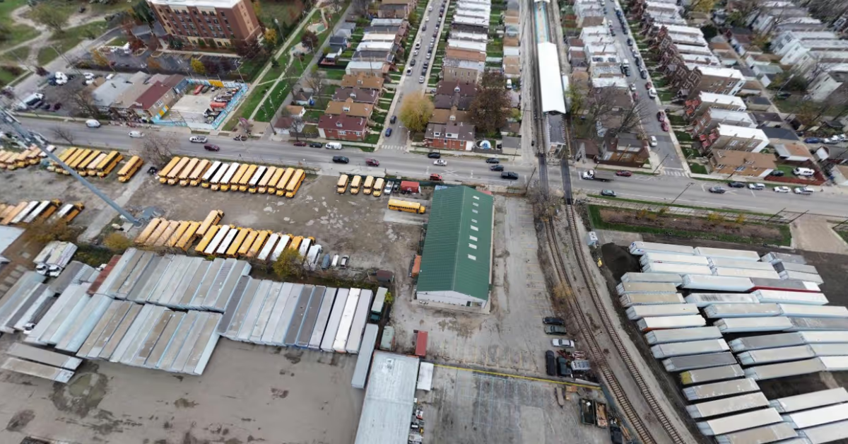
Drone imagery delivers centimeter-level detail, rapid refresh rates, and targeted collection for specific areas of interest. Whether you're monitoring infrastructure, validating assets, assessing damage, or training AI models, drone data provides the clarity required for precision decision-making — with pricing from $450/km².
- $45Per 0.1 km² — starting price
- Sub-3cmOn-demand resolution
- DaysFresh data, not months
Why drone
Key benefits of drone imagery
Captured by high-precision sensors on unmanned aircraft flying at low altitudes and tailored angles, drone imagery gives you the exact area you need with centimeter-level resolution and rapid refresh.
Centimeter-level resolution
Capture features at sub-3cm resolution, revealing fine details that satellites cannot detect.
On-demand collection
Task specific areas and receive fresh data in days, not months.
Targeted coverage
Collect imagery exactly where you need it — from single assets to city-scale projects.
Analysis- and AI-ready
Standardized, georeferenced outputs compatible with GIS, analytics platforms, and machine-learning workflows.
Imagery of the exact area you need
Unlike satellite or traditional aerial data, drone imagery is captured at low altitudes and tailored angles — delivering centimeter-level resolution, rapid refresh, and the flexibility to capture under specific conditions, exactly when your projects demand it.
Precision aviation, analysis-ready outputs
Licensed operators fly unmanned aircraft over your area of interest following standardized capture protocols. High-resolution sensors capture overlapping images, which are stitched, orthorectified, and georeferenced into seamless, spatially accurate maps.
Applications
Applications across industries
For industries where every detail matters, drone data delivers unmatched precision — turning complex projects into manageable, actionable insights.
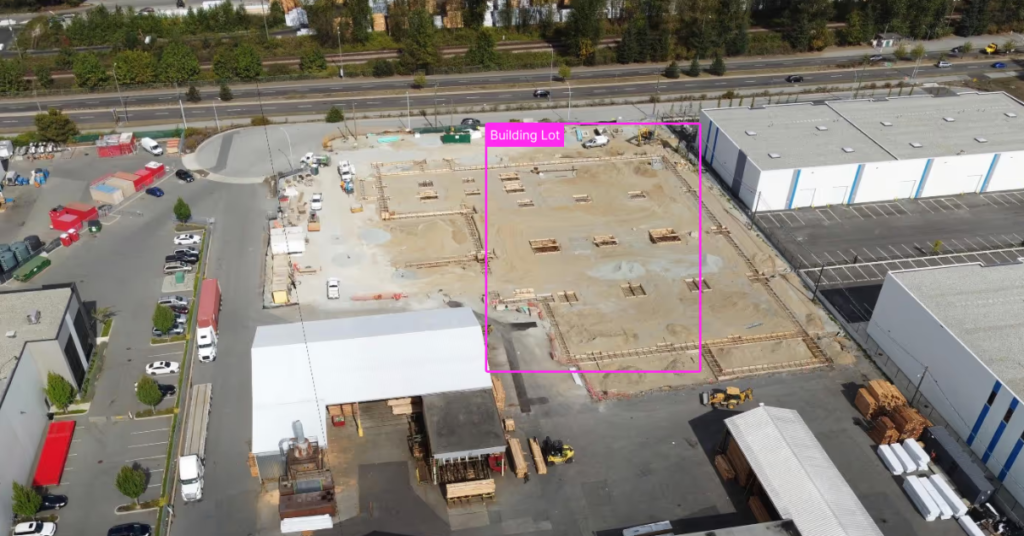
Infrastructure & Utilities
Monitor construction progress, inspect critical infrastructure, and track maintenance with centimeter-level detail — identifying structural issues early and reducing costly field visits.
Insurance & Risk Assessment
Remotely evaluate property conditions, assess storm or disaster damage, and monitor environmental exposure — enabling accurate claims verification and risk modeling.
Urban Planning & Development
Analyze zoning changes, land-use patterns, and development impact with precise spatial intelligence that supports master planning and construction monitoring.
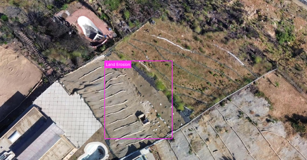
Environmental Monitoring
Track vegetation growth, soil erosion, contamination, and site remediation with detailed, repeatable surveys that support compliance and restoration planning.
Emergency Response
Give responders rapid situational awareness after natural or man-made events — assessing damage, locating hazards, and coordinating relief when time is critical.
One platform
Visualize your operations like never before
- Combine macro and micro imagery sources
- Task and purchase imagery seamlessly
- Integrate data directly into GIS and analytics workflows
Data partners
Imagery from leading providers
On-demand drone collection through our drone imagery partners — with more joining soon.
Visualize your operations like never before
Drone data is available alongside satellite and aerial imagery in the SkyWatch platform — combine macro and micro sources, task and purchase seamlessly, and integrate directly into your workflows. Not sure which to use? Compare satellite vs. aerial vs. drone imagery.