State & Local Government
Protect assets, preserve land, and respond to emergencies with geospatial data
State and local agencies are responsible for sprawling public assets, fragile natural land, and the safety of entire communities — often with limited budgets and small field teams. Site visits are slow and costly, data lives in silos across departments, and when disaster strikes, decisions can't wait. SkyWatch gives government teams a single platform to monitor assets, plan land use, and respond to emergencies — without sending crews into the field.
The platform
A unified platform for government operations
SkyWatch gives government teams a single place to discover, buy, manage, and integrate geospatial data — no specialized expertise or multiple vendors required.
Discover imagery across providers
Access satellite, aerial, and (soon) drone imagery from a growing ecosystem of providers — without managing multiple vendors.
Purchase and task new data on demand
Order imagery when and where you need it, with transparent pricing and flexible tasking options.
Centralize and manage your imagery
Keep historical and current data organized, accessible, and ready for analysis across teams.
Integrate into your existing workflows
Use imagery directly in GIS platforms like ArcGIS, internal dashboards and analytics tools, and automated monitoring systems via API.
See how your jurisdiction is changing
Inform zoning, development, and conservation decisions with current, accurate imagery of how land and property are changing across your jurisdiction.

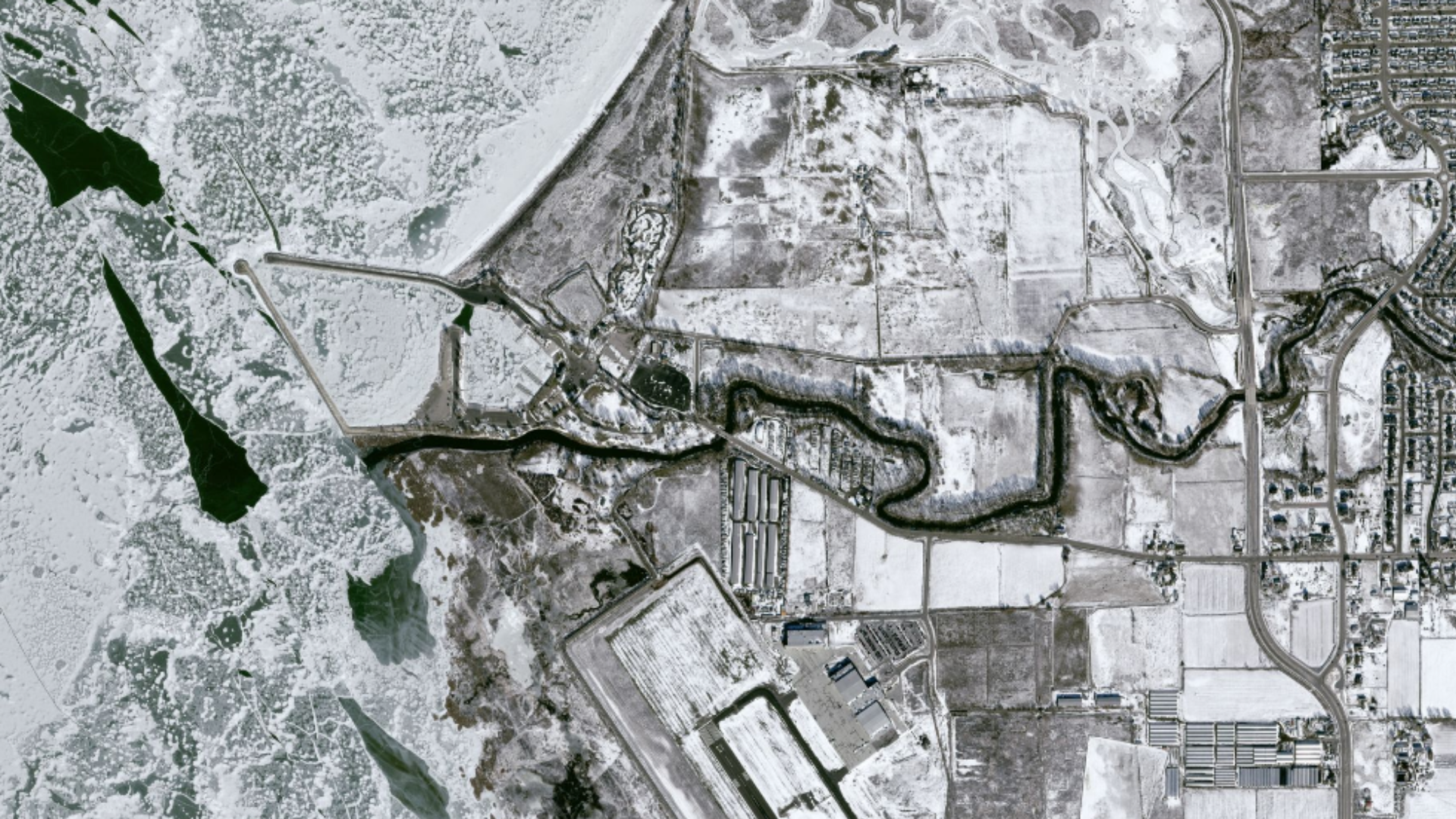
Assess damage and respond faster
Generate before-and-after imagery to quickly quantify the impact of storms, floods, and wildfires — and use tip-and-cue monitoring to direct high-resolution captures and crews to where they're needed most.

Monitor infrastructure without the field visit
Continuously monitor publicly owned utilities, roads, and facilities to catch structural damage and maintenance needs before they disrupt service — reducing inspection costs and keeping crews safe.
Use cases
Use cases for government teams
Put satellite, aerial, and drone imagery to work across the workflows that matter most to your team.
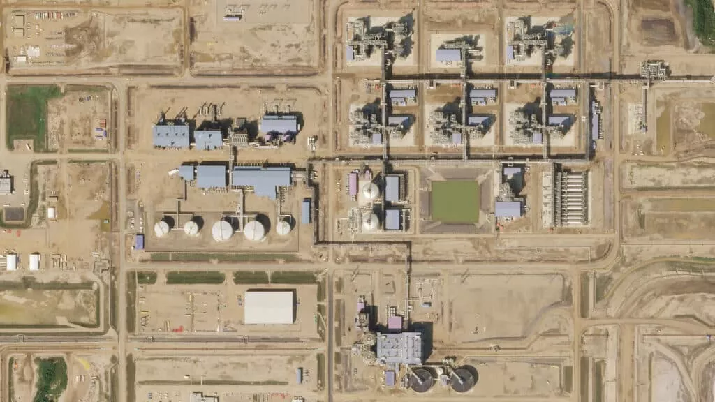
Infrastructure & asset monitoring
Continuously monitor publicly owned utilities, roads, and facilities to detect damage and maintenance needs before they disrupt service.
Land use & development planning
Inform zoning, development, and conservation decisions with current, accurate imagery of how land is changing.
Disaster damage assessment
Generate before-and-after imagery to rapidly quantify the impact of tornadoes, storms, floods, and wildfires.
Emergency response
Use tip-and-cue monitoring to direct high-resolution captures and field crews to the areas that need them most.
Environmental & habitat monitoring
Track vegetation, ecosystem health, and habitats to guide conservation and reduce disruption during projects.
Property & parcel records
Keep parcel, property, and land-use records current with up-to-date aerial and satellite imagery for assessment and planning.
Why SkyWatch
Why government teams choose SkyWatch
- Early detection that protects workers and citizens
- Lower inspection and field costs
- Faster, better-informed emergency response
- Strategic, data-driven land and asset planning
- One platform across departments instead of many vendors
Built for your team
Built for how your team works
Whether you're a GIS analyst, an operations lead, a data engineer, or an executive — SkyWatch fits into your workflow, not the other way around.
GIS analysts
Working in ArcGIS and other GIS platforms, pulling imagery straight into existing projects.
Operations teams
Monitoring distributed assets day to day and acting on change as it happens.
Data & engineering teams
Building internal tools and automated monitoring on top of the API.
Executives & decision-makers
Who need clearer, faster visibility across the whole organization.
Data partners
Imagery from the world's leading providers
Access an ever-growing network of satellite, aerial, and drone operators — all through a single SkyWatch account.


Serve your community with a clearer view
Protect public assets, plan land use, and respond to emergencies faster — with satellite, aerial, and drone imagery, all from one platform.