Application · Environment
Environmental monitoring & compliance
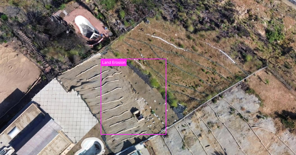
Land changes constantly, and regulators want proof. Satellite imagery gives you an objective, time-stamped record of vegetation, water, and land use across whole regions — so you can track change, demonstrate compliance, and act on what the data shows.
In short
Why monitor the environment from above?
Ground surveys are slow, local, and hard to repeat consistently. Satellite imagery — and the indices derived from it — measures vegetation health, water, and land cover the same way every time, giving you a defensible baseline and a clear record of change across seasons and years.
What you can track
From a single site to an entire watershed
Repeatable, objective measurement across the area that matters to you.
Land-use change
Detect clearing, development, and encroachment over time across large areas.
Deforestation & vegetation
Track canopy loss, regrowth, and vegetation health with NDVI and related indices.
Water & moisture
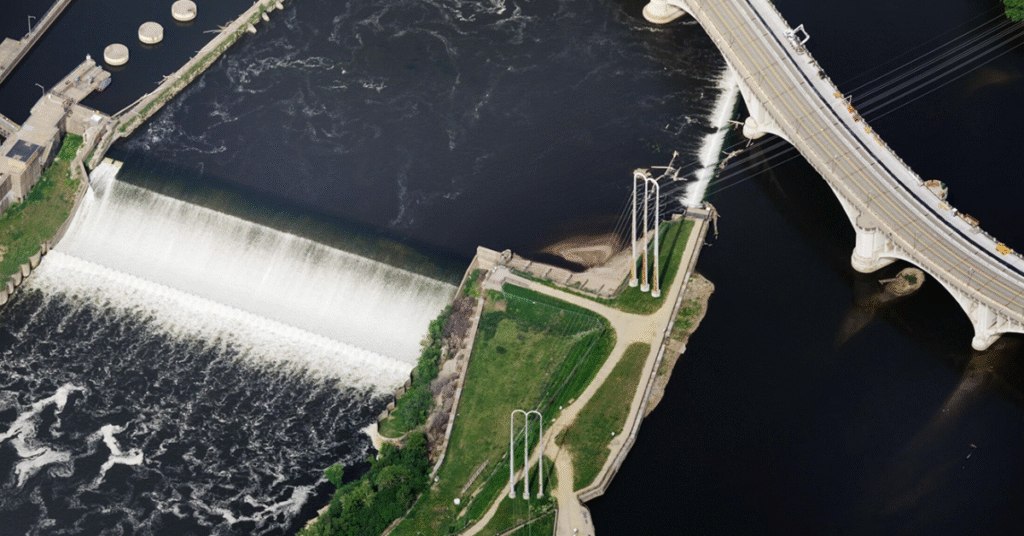
Map water bodies, flooding, and drought-affected vegetation with water indices.
Compliance evidence
Hold an objective, time-stamped record to demonstrate regulatory and permit conditions.
Restoration & remediation
Document recovery on remediation and reclamation sites over the long term.
All-weather coverage
Use SAR to keep monitoring through cloud, smoke, and seasonal weather.
Indices turn a picture into a number
Vegetation and water indices like NDVI, EVI, and NDWI convert raw bands into a value per pixel, so you can quantify change instead of eyeballing it. See how each output works in our guide to image outputs, then pipe results into your GIS for reporting.
Choosing data
Which imagery for which job?
Medium-resolution multispectral suits regional and vegetation monitoring; high-resolution adds site-level detail; SAR keeps coverage going through cloud.
See the full set of band combinations in satellite image outputs and their applications, or compare platforms in satellite vs. aerial vs. drone imagery.
Who uses it
Industries that rely on environmental monitoring & compliance
Industries with land and environmental obligations rely on an objective record.
Forestry
Track deforestation, regrowth, and forest health across large estates.
Mining & Natural Resources
Monitor tailings, water, and disturbance to manage impact and risk.
Energy, Oil & Gas
Document land use and compliance around facilities and rights-of-way.
State & Local Government
Monitor land, water, and protected areas for stewardship and reporting.
Data partners
Imagery from the world's leading providers
Access an ever-growing network of satellite, aerial, and drone operators — all through a single SkyWatch account.







Keep a clear record of change
Set your area of interest, choose a revisit schedule, and monitor the environment from one platform — with no minimum contract spend.