Geospatial Data Provider
Eagleview
Very-high-resolution aerial for property and insurance.
Aerial
Overview
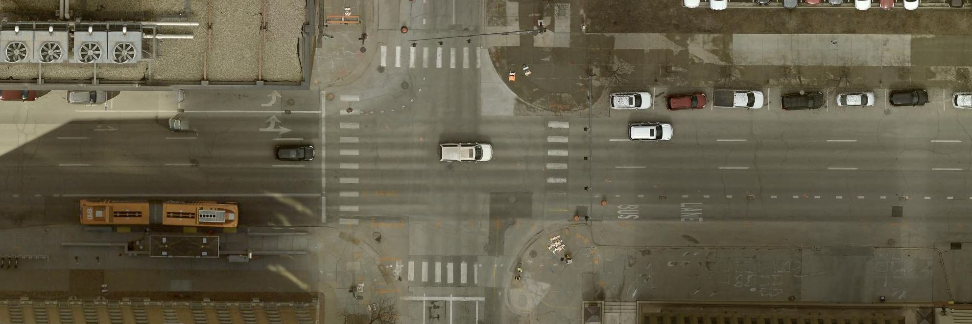
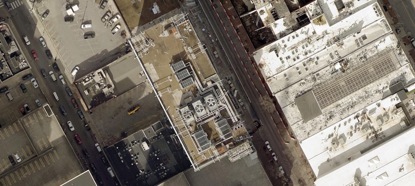
Eagleview provides very-high-resolution aerial imagery widely used in property analytics, insurance, and construction. SkyWatch offers Eagleview products from 3 cm (HD Plus) through 15 cm, with small minimum order areas that suit parcel- and building-level analysis.
Very High-Res aerial from 3 cm to 15 cm
Small 0.1 km² minimum order area
Property, insurance, and construction analytics
Data products & pricing
| Product | Type | Resolution | Archive $/km² | Tasking $/km² | Min order | Listing |
|---|---|---|---|---|---|---|
| Eagleview-Ultra-Res-HD-Plus | Aerial | 3cm | $70.00 | — | 0.1 km² | View imagery → |
| Eagleview-Ultra-Res-HD | Aerial | 8cm | $70.00 | — | 0.1 km² | View imagery → |
| Eagleview-Ultra-Res | Aerial | 15cm | $50.00 | — | 0.1 km² | View imagery → |
Prices are indicative per-km² rates from the SkyWatch catalog (June 2026); “—” indicates the mode or minimum is not published for that product. Each “View imagery” opens that product's detail page in the Product Library.
Order EagleView imagery
3 products available · browse the full catalog or jump straight into Explore.