Educational Guide
The ultimate satellite imagery guide
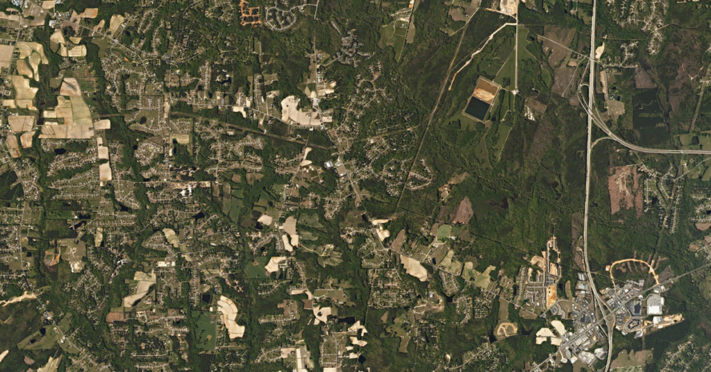
Deciding that satellite imagery is right for your organization is a great first step — but Earth-observation data has its own vocabulary. This guide walks through the basics you need to choose the right data and set realistic expectations, before you buy.
Where to start
Tasking vs. archive
There are two ways to get imagery. You task a satellite when you need a new image that hasn't been captured before. You search the archive when imagery of your area already exists — the faster, more economical route. Most projects start in the archive and task only when needed.
Once you know which you need, the how to buy satellite imagery guide covers the ordering process end to end.
The workflow
Tasking a satellite, step by step
Tasking means asking a satellite to capture your area of interest (AOI) using the technique you specify. In SkyWatch EXPLORE you set your AOI three ways — enter GPS coordinates or a place name, draw a polygon, or upload a KML or GeoJSON file — then make four choices that define the capture.
Set your AOI
Enter coordinates or a place name, draw a polygon, or upload a KML / GeoJSON file.
Pick image output
Choose the bands, indices, and colour combination you receive.
Choose resolution
Set the spatial and spectral detail your project needs.
Set frequency
Define the revisit rate, date range, and interval for collection.
The four choices that define a new satellite tasking order.
Detail
Choosing the right resolution
Spatial resolution is how much ground a single pixel represents — a 50 cm product means one pixel covers 50 cm on the ground. Spectral resolution defines how many bands a sensor collects. Understanding both helps you pick imagery that matches your project and budget.
HD Optical
15 cmThe finest commercial detail — vehicles, equipment, site-level inspection.
Very high-res
30 – 49 cmSmall objects, asset management, and change detection.
High-res
50 – 99 cmUrban planning and construction monitoring.
Medium-res
1 – 8 mFields, vegetation, and regional monitoring.
Spatial resolution at a glance — how much ground a single pixel represents.
Resolution is also the biggest cost driver — see satellite imagery pricing for how it affects price.
Colour & bands
Image outputs
Image output is the colour or band combination you receive — from true colour to vegetation indices like NDVI. Each highlights different details about your AOI.
For a full breakdown of every output and what it's used for, read satellite image outputs and their applications.
How often
Frequency and coverage
How often you need data shapes both your budget and your provider relationship. Key concepts include revisit rate (temporal resolution), date range and interval, mosaicking to fill gaps in an AOI, and a coverage threshold for the minimum percentage of usable, cloud-free pixels. SAR data makes consistent coverage easier by seeing through clouds.
Put the guide into practice
When you're ready, start exploring imagery with no minimum contract spend. Still choosing a data type? Compare satellite vs. aerial vs. drone imagery. Choosing a platform? See our satellite imagery platform comparison.