Imagery Types
Satellite vs. aerial vs. drone imagery
Three ways to see a place from above — each with its own sweet spot for detail, coverage, and cost. This guide compares them side by side so you can match the right data type to your project, then order any of them from one platform.
The short answer
Which one do you need?
- Satellite — repeatable, wide-area coverage anywhere on Earth, and change over time.
- Aerial — the sharpest everyday detail over developed areas within flown regions.
- Drone — the highest resolution on a single small site, captured on demand.
Most programs mix them: satellite to monitor broadly and track change, aerial or drone to zoom in where detail matters.
Side by side
How the three compare
Resolution, coverage, freshness, and trade-offs at a glance.
Decision guide
When to choose each
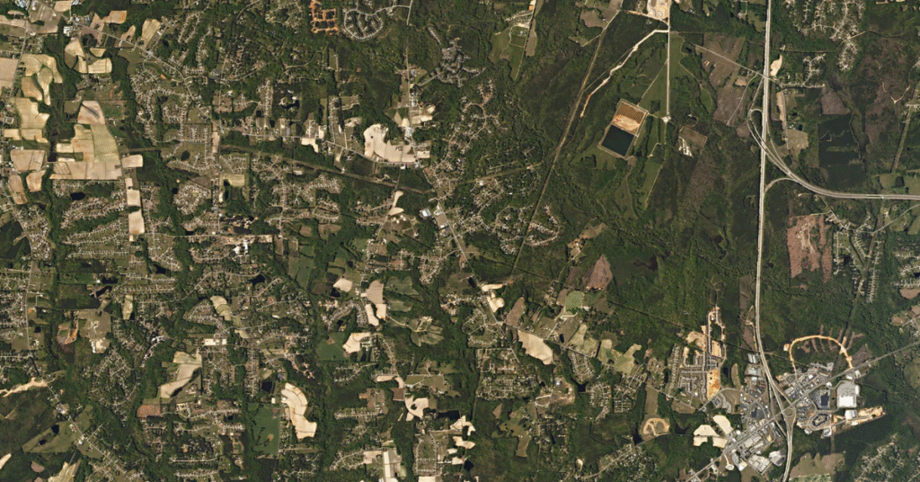
Satellite
15 cm – 10 mChoose it when you need repeatable coverage of a large or remote area, want to track change over time, or need imagery of a place that's hard to reach on the ground.
Aerial
From 7.5 cmChoose it when you need the sharpest everyday detail over a developed area — a city or corridor — and the location sits within an existing flight program.
Drone
~3 cmChoose it when you need the highest possible detail of one small site and can fly locally on your own schedule.
Beyond the big three
Two more data types worth knowing
When optical imagery isn't enough, two specialized sources fill the gap — and SkyWatch offers both alongside satellite, aerial, and drone.
SAR (radar)
Sees through cloud, smoke, and darkness — day or night. Ideal for flood mapping, subsidence, and vessel detection when optical is blocked.
Hyperspectral
Identifies materials and chemistry, not just shapes — crop stress, minerals, and methane — at coarser spatial detail.
See how bands and indices become usable products in our guide to satellite image outputs and their applications.