Application · Government & Planning
Land management & urban planning
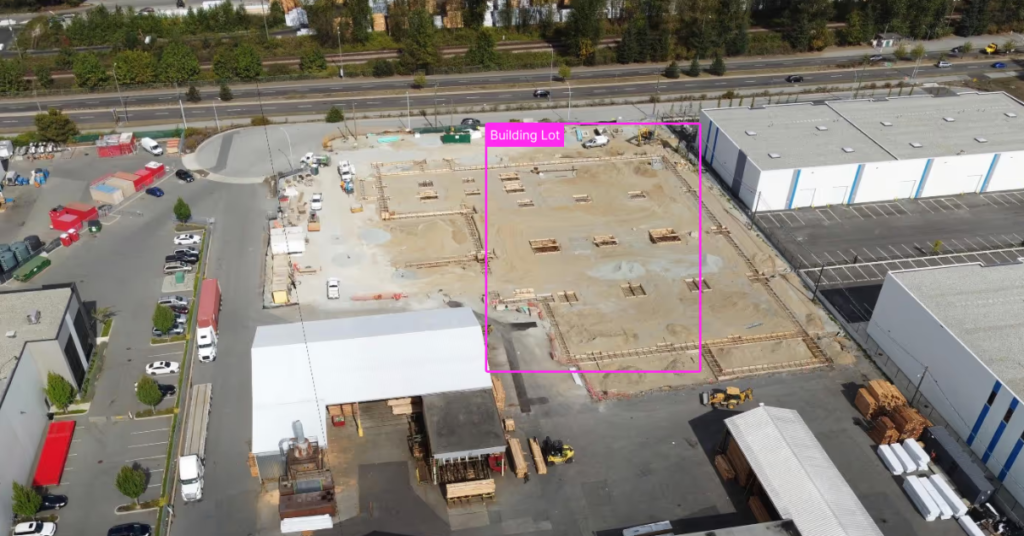
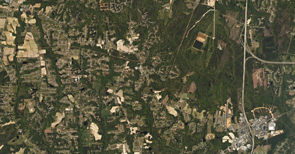
Planning decisions are only as good as the basemap behind them. Current satellite and aerial imagery gives agencies and planners an objective, up-to-date view of how land is used and how communities grow — for zoning, assessment, and long-range planning.
In short
Why plan with current imagery?
Outdated basemaps lead to bad decisions. Regularly updated imagery gives planners and land managers a shared, objective record of conditions on the ground — to track growth, verify land use, assess property, and plan infrastructure with confidence.
What you can do
From a single parcel to a whole jurisdiction
Objective, repeatable basemaps for the decisions communities depend on.
Urban growth & sprawl
Track development and land-use change across a region over time.
Zoning & land use
Verify how land is actually used against zoning and permits.
Tax assessment & parcels
Spot new structures and improvements to keep assessment records current.
Infrastructure planning
Plan roads, utilities, and services on an accurate, current view of the ground.
Resilience planning
Map flood-risk, vegetation, and exposure to plan for hazards and climate.
Basemap currency
Refresh your GIS basemap on a schedule instead of relying on years-old data.
A shared source of truth for every department
From assessors to public works, everyone works off the same current imagery instead of conflicting records. Pull it straight into ArcGIS and your existing GIS workflows for analysis, zoning, and public reporting.
Choosing data
Which imagery for which job?
High-resolution aerial and satellite suit parcel-level work; medium-resolution satellite suits regional growth tracking and frequent refreshes.
Compare the options in satellite vs. aerial vs. drone imagery, then see how to buy satellite imagery.
Who uses it
Industries that rely on land management & urban planning
Planners and land managers work from current, objective basemaps.
State & Local Government
Track growth, verify land use, assess property, and plan infrastructure.
Architecture, Engineering & Construction
Plan and site projects on accurate, current basemaps.
Utilities
Plan network expansion and siting on current land data.
Data partners
Imagery from the world's leading providers
Access an ever-growing network of satellite, aerial, and drone operators — all through a single SkyWatch account.







Plan on a clearer picture
Set your area of interest, choose a revisit schedule, and keep your basemaps current from one platform — with no minimum contract spend.