SkyWatch MCP 2.0 Is Live: Search, Buy and Use Satellite Imagery in ChatGPT, Claude and Microsoft 365 Copilot
SkyWatch MCP 2.0 lets you search, order and analyze satellite imagery inside ChatGPT, Claude and Microsoft 365 Copilot. 56 tools, one SkyWatch sign-in.
- 56Tools in SkyWatch MCP 2.0
- 700+Sensors and data sources
- ~95%Of commercial imaging satellites
SkyWatch MCP 2.0 lets you search, buy and use satellite imagery from inside ChatGPT, Claude and Microsoft 365 Copilot by asking in plain language. It offers 56 tools and sign-in with your SkyWatch account, so you can place orders, track spend, monitor sites, run analysis and publish results without leaving the chat.
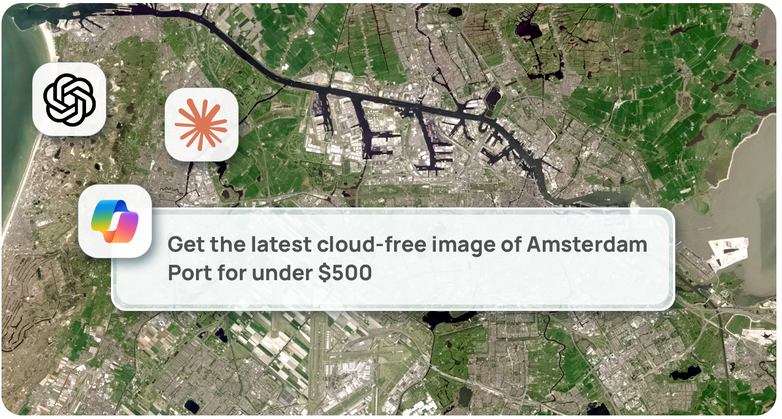
Instead of learning a new app, you type a request like “Get the latest cloud-free image of Amsterdam Port for under $500.” Your assistant searches the archive and compares options and prices, and SkyWatch asks you to confirm before any order is placed.
What is SkyWatch MCP 2.0?
SkyWatch MCP 2.0 is a connection that lets AI assistants work directly with the SkyWatch Platform. MCP (Model Context Protocol) is the standard way AI assistants connect to outside tools. SkyWatch MCP 2.0 gives your assistant 56 tools for finding, buying and using satellite imagery, so you don’t need to learn our applications or our API.
Through the SkyWatch Platform, you get access to 700+ sensors and data sources, including about 95% of commercial imaging satellites, with one consistent way to search, order and task across them.
SkyWatch MCP 2.0 replaces version 1.0, which has been in AI assistant app directories since February 2026 and offered four read-only tools with no sign-in. Sign-in is what makes ordering possible.
What can you do with SkyWatch MCP 2.0?
You can search, price, order, monitor, analyze and publish satellite imagery from a chat. Each capability works with a plain-language request:
| Capability | What it covers | Example request |
|---|---|---|
| Discovery and pricing | Search the archive, compare products, estimate cost, check if a new capture is possible | “Get the latest cloud-free image of Rotterdam Port for under $500.” |
| Ordering and approvals | Order archive imagery or a new capture, cancel, approve or reject orders | “Order that image and send it to my manager for approval.” |
| Budgets and spend | Check budget left, see monthly spend, scope orders to a project | “Do we have enough budget for a monthly capture of the Ontario mine?” |
| Saved sites and monitoring | Save sites, check for new imagery since you last looked, schedule recurring captures | “Show me any new imagery of the construction site since I last checked.” |
| Analysis | Run processing on delivered imagery and get the results | “Grab the two latest images of the stadium and line them up for comparison.” |
| Publishing | Publish finished imagery to ArcGIS Online as a tile layer | “Publish the new stadium imagery to my ArcGIS Online account.” |
You can also chain these together. Ask for “a land cover assessment of the new subdivision in Pleasantville for under $1,000,” and the assistant checks what your company already owns, searches the SkyWatch archive, orders a new capture if needed, then runs the analysis.
How do you get started with SkyWatch MCP 2.0?
Getting started takes three steps, with no API key to manage.
Find it
Search “SkyWatch” in the app directory inside ChatGPT, Claude or Microsoft 365 Copilot and add it.
Sign in
Sign in with your SkyWatch account through a normal browser login. New to SkyWatch? Create an account from the same sign-in screen.
Ask
Type your request in plain language. SkyWatch asks you to confirm before any order is placed.
Is it safe to let an AI assistant order imagery?
Yes. SkyWatch requires you to confirm every order before any money is spent, whichever assistant you use. SkyWatch MCP 2.0 also respects the roles and permissions set up in your SkyWatch account, including project access, budgets and approvals. They apply the same way in SkyWatch applications, the API and your AI assistant, so ordering from a chat doesn’t bypass the limits your team has set.
One account. One set of roles and permissions. Every place you work.
Who is SkyWatch MCP 2.0 for?
It’s built for four groups, each with a different reason to care.
New self-serve buyers
Analysts, consultants, researchers and small teams who need imagery occasionally can find and buy it by asking a question, without learning a new app.
Enterprise teams
Organizations already using SkyWatch can order inside the AI tools their people already use, with project access, budgets and approvals still enforced.
GIS professionals
ArcGIS and other GIS users in insurance, government, mining, agriculture and construction can move imagery straight from a chat into their maps.
Developers
Teams building their own AI assistants or agents can plug in SkyWatch through the standard MCP connection instead of a custom integration.
What should you do now?
- Add SkyWatch to your AI assistant. Search “SkyWatch” in the ChatGPT, Claude or Microsoft 365 Copilot app directory.
- Sign in or create your SkyWatch account. Sign-in is a normal browser login, with no API key. If you’re new, you can create an account from the same screen.
- Be specific in your request. Name the place, the timeframe, your budget and how much cloud you can accept. “Latest cloud-free image of Rotterdam Port under $500” gives the assistant everything it needs.
- Save the sites you care about. Then ask for new imagery since your last check, or schedule recurring captures.
- Developers: connect your agent. Use the standard MCP connection instead of building a custom integration.
Frequently asked questions
What is SkyWatch MCP 2.0?
SkyWatch MCP 2.0 is a connection that lets AI assistants such as ChatGPT, Claude and Microsoft 365 Copilot search, order and manage satellite imagery on the SkyWatch Platform. MCP stands for Model Context Protocol, the standard way AI assistants connect to outside tools.
How many tools does SkyWatch MCP 2.0 have?
SkyWatch MCP 2.0 has 56 tools, covering search, pricing, ordering, approvals, budgets, saved sites, monitoring, analysis and publishing to ArcGIS Online.
What’s new in SkyWatch MCP 2.0 compared to version 1.0?
Version 1.0 offered four read-only tools and no sign-in. SkyWatch MCP 2.0 replaces it with 56 tools and sign-in with a SkyWatch account, so you can now place orders, track spend, monitor sites, run analysis and publish results, all from a chat.
Do I need a SkyWatch account to use SkyWatch MCP 2.0?
Yes. SkyWatch MCP 2.0 requires you to sign in with a SkyWatch account. If you don’t have one, you can create an account from the same sign-in screen.
Which AI assistants work with SkyWatch MCP 2.0?
SkyWatch MCP 2.0 works in ChatGPT, Claude and Microsoft 365 Copilot. Search “SkyWatch” in your assistant’s app directory to add it. It also works with AI agents your own team builds, if they support MCP.
What satellite imagery can I access with SkyWatch MCP 2.0?
SkyWatch MCP 2.0 gives you access to the SkyWatch Platform: 700+ sensors and data sources, including about 95% of commercial imaging satellites.
Will the assistant spend money without asking me?
No. SkyWatch requires you to confirm every order before any money is spent, whichever AI assistant you use.
Do my company’s budgets and approvals still apply?
Yes. SkyWatch MCP 2.0 respects the roles and permissions set up in your SkyWatch account, including project access, budgets and approvals. They apply the same way in SkyWatch applications, the API and your AI assistant.
How does site monitoring work in SkyWatch MCP 2.0?
You can save a site, then ask your assistant for any new imagery since you last checked. You can also schedule recurring captures of a site, such as a monthly tasking.
Can I get imagery into my GIS?
Yes. Ask your assistant to publish finished imagery to your ArcGIS Online account, and it’s added as a tile layer.
Do I need to be a GIS expert to use SkyWatch MCP 2.0?
No. You describe what you want in plain language, and the assistant handles the search, pricing, ordering and analysis steps.
Can developers build on SkyWatch MCP 2.0?
Yes. Teams building their own AI assistants or agents can connect to SkyWatch through the standard MCP connection instead of building a custom integration.
Try SkyWatch MCP 2.0
Search “SkyWatch” in your AI assistant’s app directory, sign in or create your account, and ask for imagery of a place you care about.