SkyWatch-Explore-Logo-Color

Access the world's largest inventory of geospatial data, through one simple application.

We're making it easier for anyone to access Earth observation data

Discover and purchase data from 700+ sensors

Discover and purchase archive or tasked data from the world's leading data providers in one user-friendly, intuitive platform.

Transparent, pay-as-you-use pricing

We've partnered with data providers to lower minimum area requirements to keep your data purchase budget-friendly. Order the data you need and never pay for data you don't collect.

No contracts

We normalize pricing across providers to eliminate the need to negotiate commercial terms, and offer a single EUDLA so you don't have to manage contracts with multiple providers.

Features

A map interface displaying options to order satellite imagery of San Francisco.
Aerial map of San Francisco showing street names and imagery options for purchase.
Advanced map interface showcasing the San Francisco area, demonstrating our innovative capability for future image capture and geospatial data collection.
Shopping cart interface showcasing premium high-resolution imagery from April 1, 2024, available for $171 USD – delivering exceptional geospatial data access at your fingertips.
Dotted line connecting descriptive text to screenshot

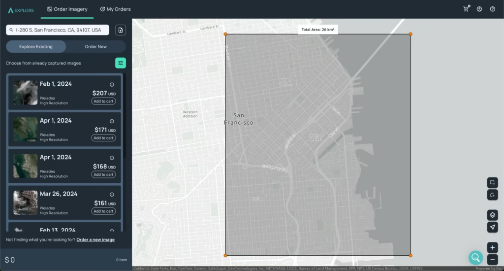
Discover archive data

Easily search an address or location.

A map interface displaying options to order satellite imagery of San Francisco.

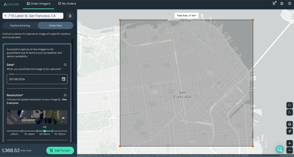
Draw or UPLOAD your AOI

Draw or upload a rectangle or polygon for precise AOI selection.

Teal-Dotted-Line-Up-Right

Select a result

Resolutions from 15m to 15cm from leading data providers.
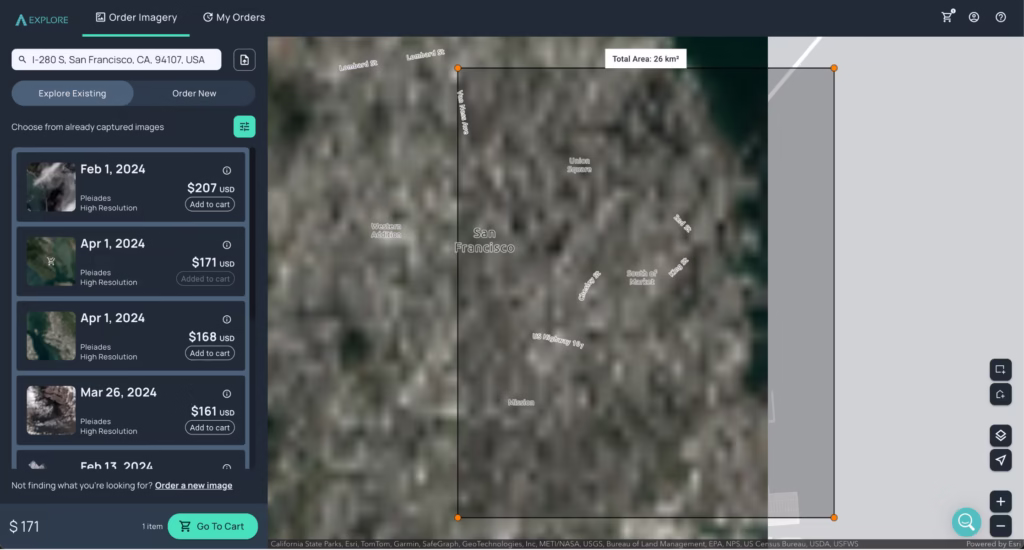
Dotted line connecting descriptive text to screenshot
Aerial map of San Francisco showing street names and imagery options for purchase.

Preview Results

A downsampled preview shows cloud cover and area coverage.
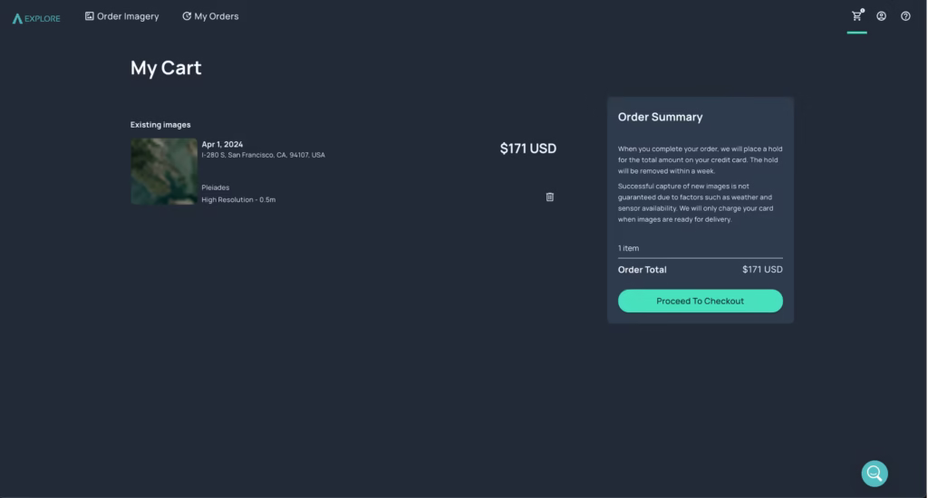
Dotted line connecting descriptive text to screenshot

Simple Checkout

Your cart displays full details and maximum price for your items.

Shopping cart interface showcasing premium high-resolution imagery from April 1, 2024, available for $171 USD – delivering exceptional geospatial data access at your fingertips.

Secure Payment

Create an account or log in and pay through our secure payment service.

Order a new image

Can't find what you're looking for? Order a new image with our simple tasking flow.

Dotted line connecting descriptive text to screenshot
Advanced map interface showcasing the San Francisco area, demonstrating our innovative capability for future image capture and geospatial data collection.

Access geospatial data from the world's leading providers

What will you do with SkyWatch?