Geospatial Data Provider
Nearmap
Frequently refreshed high-resolution aerial imagery.
Aerial
Overview
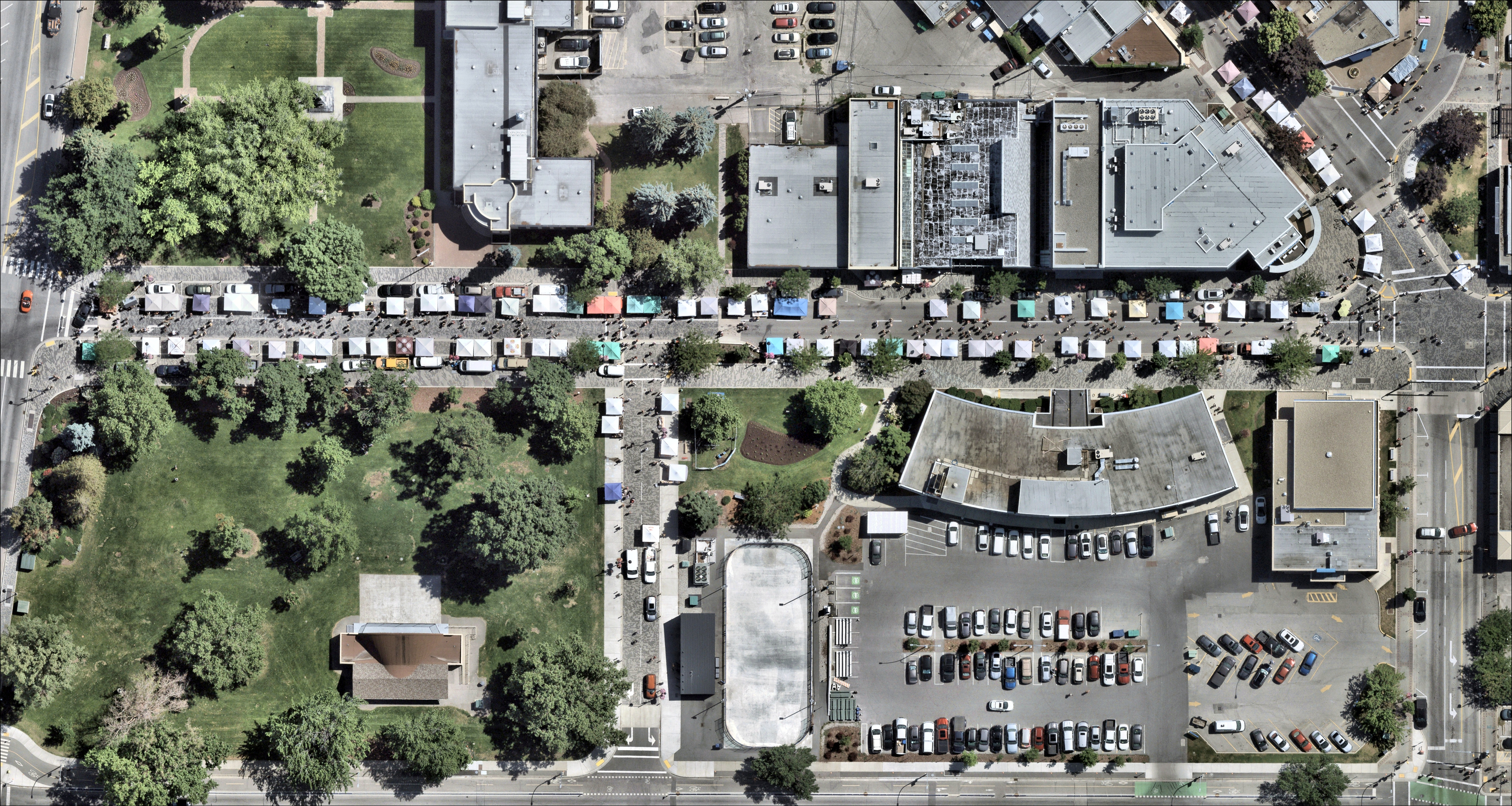
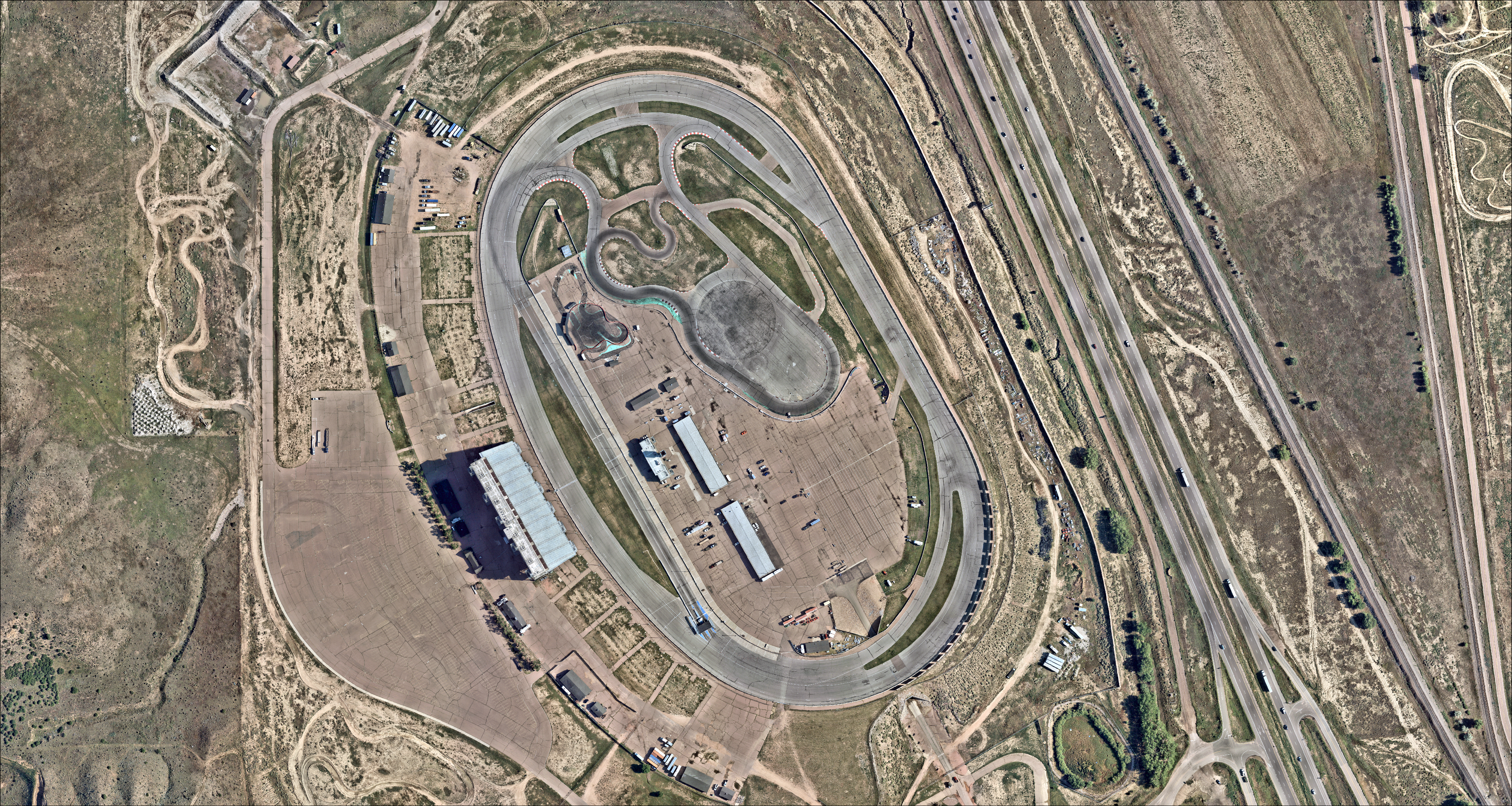
Nearmap captures wide-coverage aerial imagery at extraordinary detail, with frequent refresh over urban areas. SkyWatch offers Nearmap vertical imagery at 3 cm and 7 cm from its archive — ideal for property, insurance, construction, and detailed mapping workflows.
Vertical aerial at 3 cm and 7 cm
Frequent urban-area refresh
Property, insurance, and AEC workflows
Data products & pricing
| Product | Type | Resolution | Archive $/km² | Tasking $/km² | Min order | Listing |
|---|---|---|---|---|---|---|
| Nearmap-Vertical-Hyper-Res | Aerial | 3cm | $67.00 | — | 1 km² | View imagery → |
| Nearmap-Vertical-Ultra-Res | Aerial | 7cm | $107.00 | — | 1 km² | View imagery → |
Prices are indicative per-km² rates from the SkyWatch catalog (June 2026); “—” indicates the mode or minimum is not published for that product. Each “View imagery” opens that product's detail page in the Product Library.
Order Nearmap imagery
2 products available · browse the full catalog or jump straight into Explore.