Vantor
Very-high-resolution optical, seamless basemaps, and 3D elevation.
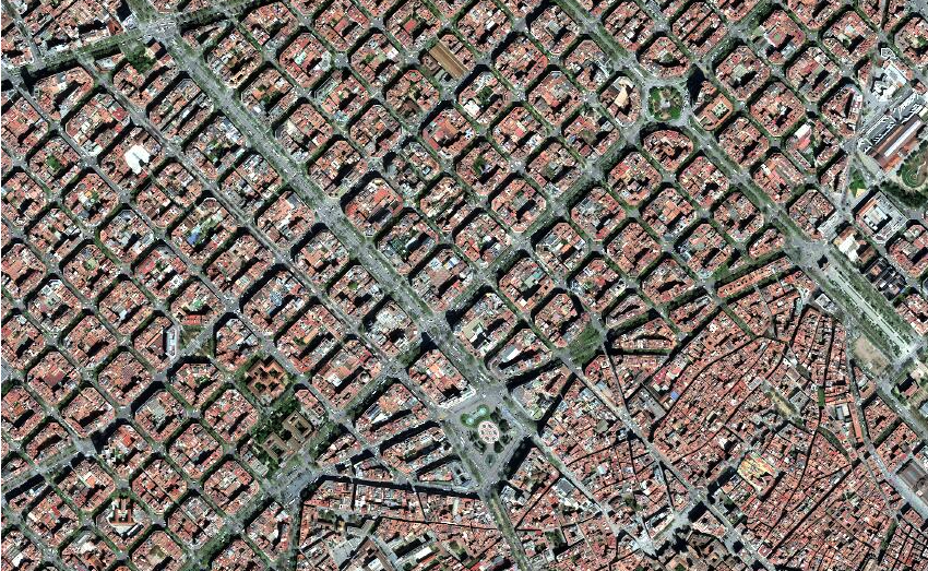
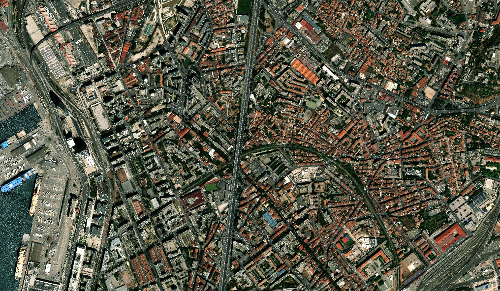
Vantor delivers very-high-resolution optical imagery from 15 cm to 50 cm, including stereo collection for 3D extraction. Beyond single scenes, Vantor offers ready-to-use Vivid basemaps — cloud-free 15 cm and 30 cm mosaics — and the WorldView-3D / Vivid Terrain elevation products for analysis-ready surface models. The combination makes it a strong choice for mapping, defense, and large-area monitoring.
| Product | Type | Resolution | Archive $/km² | Tasking $/km² | Min order | Listing |
|---|---|---|---|---|---|---|
| Vantor-15cm | Optical | 15cm | $25.00 | $35.00 | 1 km² | View imagery → |
| Vantor-30cm | Optical | 30cm | $19.00 | $29.00 | 1 km² | View imagery → |
| Vantor-30cm-Stereo | Optical | 30cm | — | $65.00 | 50 km² | View imagery → |
| Vantor-50cm | Optical | 50cm | $14.00 | $25.00 | 1 km² | View imagery → |
| Vantor-50cm-Stereo | Optical | 50cm | — | $50.00 | 50 km² | View imagery → |
| Vivid-Mosaic-15cm | Basemap | 15cm | $15.00 | — | 1 km² | View imagery → |
| Vivid-Mosaic-30cm | Basemap | 30cm | $12.00 | — | 1 km² | View imagery → |
| Vivid-Terrain-50cm | Elevation | 50cm | $29.50 | — | 10 km² | View imagery → |
| WorldView-3D | Elevation | 50cm | — | $60.00 | 100 km² | View imagery → |
Prices are indicative per-km² rates from the SkyWatch catalog (June 2026); “—” indicates the mode or minimum is not published for that product. Each “View imagery” opens that product's detail page in the Product Library.
Order Vantor imagery
9 products available · browse the full catalog or jump straight into Explore.