Description
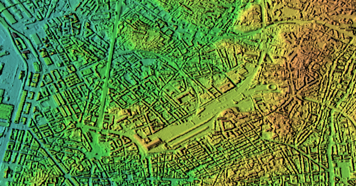
Maxar Precision3D 50-cm data is a highly detailed, globally available 3D elevation product. The data is generated from high-resolution optical sensors from Maxar’s WorldView constellation, using a combination of automated 3D modeling and advanced photogrammetry techniques that leverage multiple look angles. Precision3D offers 50-cm resolution delivered as Digital Surface Models (DSM), Digital Terrain Models (DTM), or DSM + DTM bundle with 3m absolute vertical and horizontal accuracy. A DSM represents the Earth’s surface, including all natural and man-made features like buildings and vegetation, whereas a DTM represents only the bare ground, excluding any surface objects. This product is ideal for mapping, urban/city planning, infrastructure modeling, risk assessment, simulation, and civil engineering use cases, providing detailed and precise 3D context for real-world calculations and immersive visualization. More information is available at https://www.maxar.com/maxar-intelligence/products/precision3d-data-suite
Technical Specifications
Order Type(s): Archive
Provider: Maxar
Sensor Type: Elevation
Sensor: Precision3D-50cm
Spatial Resolution: 0.5m
Pricing: from $29.50 per sq. km