Satellite imagery companies are transforming how we view and understand our world. They provide a wide range of services, from commercial to free satellite imagery, that support critical applications across industries.
Today, you don’t need to work directly with each satellite operator. SkyWatch offers a unified platform where organizations can easily purchase satellite imagery from leading providers, simplifying access to high-quality data worldwide.
Mapping solutions and remote sensing are just the beginning. Satellite imagery powers earth observation, spatial analysis, agriculture, urban planning, disaster management, and countless other use cases.
The global market or satellite imagery is expanding rapidly. Growth is driven by new satellites, improved sensors, and increased demand for geospatial intelligence.
Satellite imaging plays a vital role in modern decision-making by delivering accurate, timely insights. As technology evolves, the potential continues to grow—and platforms like SkyWatch make that data more accessible than ever.
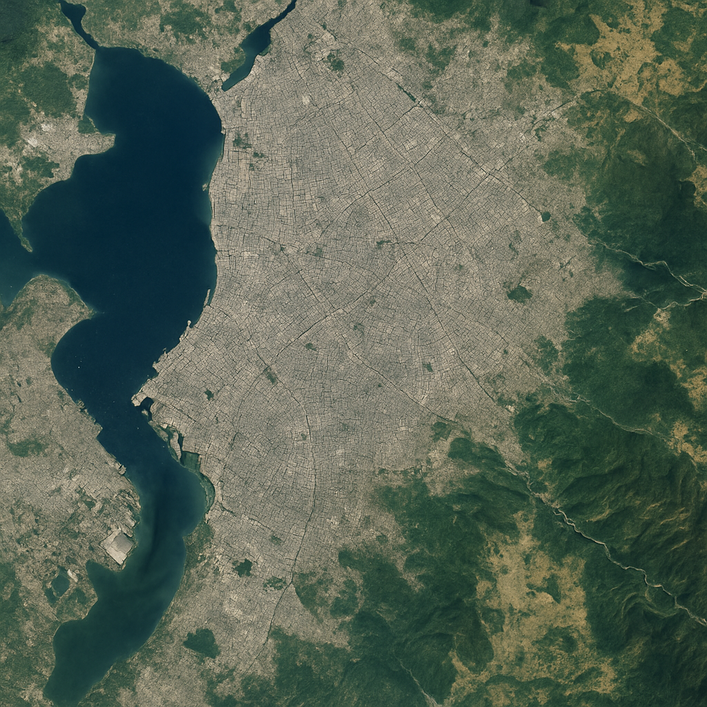
Overview of Satellite Imagery Services
Satellite imagery services encompass a spectrum of technologies designed to capture, process, and deliver Earth-observation data. These services enable detailed analysis of environmental changes, infrastructure, and economic activity.
Key functions include remote sensing, mapping technology, and spatial analysis. Industries such as agriculture, forestry, utilities, and real estate rely heavily on these insights.
SkyWatch consolidates imagery from multiple satellite operators, providing a single destination to browse, compare, and purchase high-resolution imagery, making it easier for organizations to integrate satellite data into their workflows.
Remote sensing
Earth observation
Mapping solutions
Spatial analysis
With imagery analytics and advanced processing, satellite services deliver valuable insights for planning, development, and monitoring efforts.
Types of Satellite Imagery Services: Commercial vs. Free
Satellite imagery services generally fall into two categories: commercial and free.
Commercial satellite imagery services provide high-resolution, frequently updated data for business and governmental use. Traditionally, this required working directly with individual satellite companies. SkyWatch simplifies this by offering commercial imagery from multiple providers in one platform, often with immediate availability.
Free satellite imagery, typically from government agencies, offers lower-resolution options suitable for education, research, and broad-level analysis.
Key differences:
High-resolution vs. low-resolution
Private vs. public data sources
Premium features vs. basic access
Choosing the right option depends on your resolution needs, update frequency, and application scope.
Key Applications and Benefits
Satellite imagery supports a wide variety of industries:
Agriculture: crop monitoring, yield forecasting
Urban planning: land use and zoning analysis
Disaster management: rapid damage assessment
Environmental monitoring: deforestation, water resources, climate analysis
National security: situational awareness and mission support
High-resolution imagery enhances spatial analysis, drives data-driven decisions, and improves operational efficiency. SkyWatch enables users to quickly source the imagery they need for any of these applications, without navigating multiple providers.

Leading Satellite Imagery Companies Worldwide
Several major companies define the global satellite imagery landscape:
Vantor (formerly MAXAR Technologies) – high-resolution optical imagery
Airbus – global earth observation capabilities
Planet Labs – high-frequency imagery from smallsat constellations
These providers offer diverse imaging capabilities, from daily revisits to premium high-resolution tasking.
SkyWatch partners with many leading satellite imagery companies, giving customers streamlined access to their data through a single purchasing platform, with no separate contracts or integrations required.
Innovations in Mapping Technology and Imagery Analytics
Technological advancements continue to shape the industry:
AI-driven imagery interpretation
Cloud-based processing and delivery
Higher-resolution and more frequent imagery sources
SkyWatch integrates these innovations into its platform, offering scalable cloud-native access, automated ordering, and immediate imagery delivery where available.
How to Choose the Right Satellite Imagery Service Provider
When selecting a satellite imagery provider, consider:
Range of available data sources
Geographic coverage and revisit frequency
Resolution requirements
Ease of access and licensing
Pricing and flexibility
SkyWatch stands out by aggregating multiple providers, allowing users to compare options, purchase imagery instantly, and avoid the complexity of negotiating with individual satellite companies.
Future Trends in Satellite Imaging and Geospatial Services
The future includes:
Higher-resolution and hyperspectral imagery
Faster tasking and near-real-time delivery
Deeper integration with AI and IoT
Expansion into new commercial sectors
Platforms like SkyWatch will continue to play a central role, serving as critical access points for the growing volume of satellite data and enabling organizations to take full advantage of emerging capabilities.