Application · Infrastructure
Infrastructure & asset monitoring
Pipelines, power lines, well pads, and remote facilities are spread across terrain that's slow and costly to inspect on the ground. Overhead imagery lets you watch the whole network on a schedule — catching corrosion, leaks, encroachment, and ground movement before they become failures.
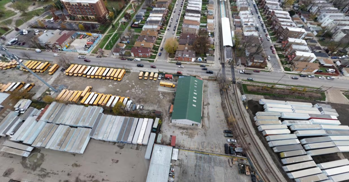
In short
Why monitor assets from above?
Remote and linear assets — pipelines, transmission corridors, well pads — are expensive to walk or fly crews over repeatedly. Regular overhead imagery turns inspection into a desk task: you compare each new capture against the last, flag what changed, and dispatch crews only where they're needed.
What you can watch
From a single facility to an entire network
One platform, repeatable captures, and the right resolution for each asset type.
Pipelines & corridors
Track long linear routes for leaks, exposure, third-party digging, and right-of-way encroachment across remote terrain.
Power & transmission
Inspect transmission lines and substations, and monitor vegetation growth before it threatens conductors.
Well pads & facilities
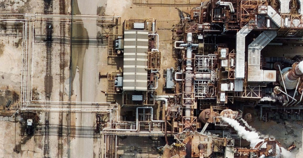
Verify site activity, construction progress, and containment at remote pads, refineries, and plants.
Encroachment
Detect new structures, vehicles, or land use near your assets that signal risk or unauthorized activity.
Ground movement
Use SAR to measure subsidence and deformation around pipelines, dams, and tailings facilities — millimeters over time.
Change over time
Stack captures into a time series so anomalies stand out and routine inspection becomes exception-based.
See every asset — even through cloud and at night
Optical imagery gives you the clearest everyday view of a site; SAR (radar) sees straight through cloud, smoke, and darkness, so monitoring never stops during storms or wildfire season. Combine both and pipe the results into your GIS for analysis, reporting, and crew dispatch.
Choosing data
Which imagery for which job?
Match the platform to the asset: wide networks suit satellite, fine inspection suits aerial or drone, and all-weather coverage calls for SAR.
Not sure where to start? Compare the options in satellite vs. aerial vs. drone imagery, then see how to buy satellite imagery.
Who uses it
Industries that rely on infrastructure & asset monitoring
Asset-heavy industries use overhead monitoring to watch what they can't easily reach.
Energy, Oil & Gas
Inspect pipelines, facilities, and remote sites for leaks, encroachment, and integrity.
Utilities
Monitor transmission corridors and substations, and stay ahead of vegetation risk.
Architecture, Engineering & Construction
Track built assets and site conditions across the project lifecycle.
Mining & Natural Resources
Watch haul roads, tailings, and fixed infrastructure for change and risk.
Data partners
Imagery from the world's leading providers
Access an ever-growing network of satellite, aerial, and drone operators — all through a single SkyWatch account.






Keep watch over every asset
Set your area of interest, choose a revisit schedule, and monitor your infrastructure from one platform — with no minimum contract spend.