Synthetic aperture radar (SAR) is a type of satellite sensor that captures imagery in all weather, day or night. Unlike optical satellites that depend on sunlight and clear skies, SAR actively transmits its own microwave radar signal toward the Earth’s surface and measures the energy that bounces back. Because it supplies its own illumination and microwaves pass through clouds, rain, smoke, and haze, SAR (synthetic aperture radar) can image places and moments that optical sensors simply cannot (NASA Earthdata).
How SAR works
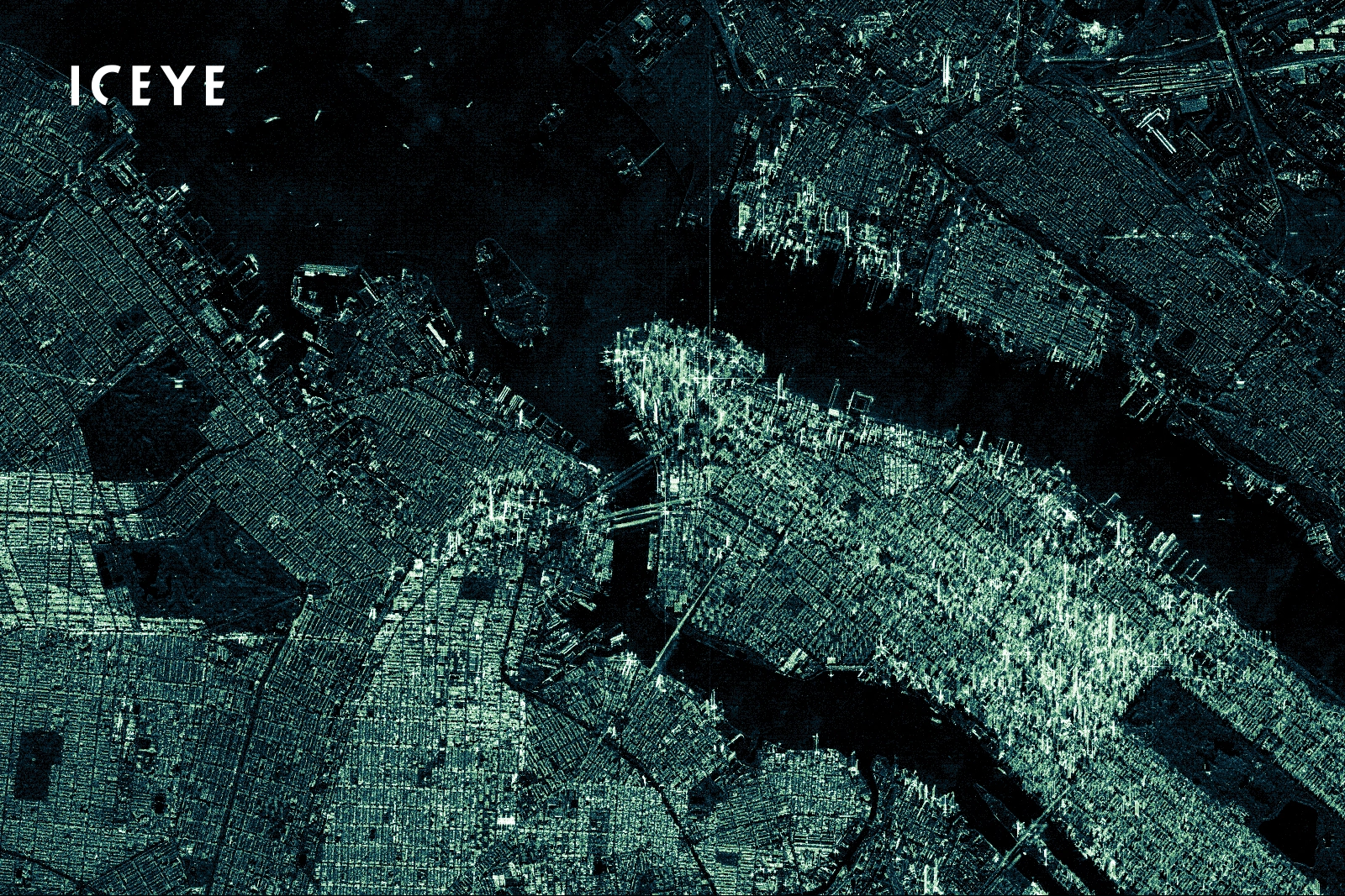
A radar antenna on the satellite emits a sequence of microwave pulses and records the backscatter — the portion of each pulse that reflects off the ground and returns to the sensor. How much energy returns, and how it is delayed, depends on the physical properties of the surface: its roughness, moisture, structure, and geometry. Smooth water tends to reflect energy away and appears dark, while rough or built-up surfaces scatter energy back and appear bright.
The “synthetic aperture” part is what makes the imagery sharp. A radar’s resolution normally depends on the size of its antenna, and a physical antenna large enough for fine detail from orbit is impractical. SAR gets around this by using the satellite’s own motion along its orbit: it combines the many pulses collected as it travels to simulate a much larger “synthetic” antenna, producing high-resolution imagery from a compact sensor.
SAR bands and wavelengths
SAR sensors are classified by the wavelength of the radar signal they emit. These wavelengths are grouped into bands designated by letters, and the band largely determines what a sensor can “see.” Longer wavelengths penetrate deeper through vegetation and even soil; shorter wavelengths capture finer surface detail (Eartheye Space; eoPortal).
- X-band (~3 cm): Short wavelength, high spatial detail. Ideal for high-resolution mapping of urban areas, infrastructure, and small objects, but it interacts mostly with the top of a forest canopy rather than penetrating it.
- C-band (~5.6 cm): A moderate, versatile band used by many operational satellites such as Sentinel-1. Widely used for InSAR, sea ice, and broad land monitoring.
- L-band (~23 cm): A longer wavelength that penetrates through tree canopies to interact with branches and trunks, making it valuable for forestry and geological applications.
- P-band (~69 cm): The longest commonly cited band, used for vegetation penetration and subsurface imaging, and strong at detecting ground deformation in forested terrain.
SkyWatch offers X-band SAR, a common type of high-resolution SAR. The best band for a project depends on the use case: fine surface detail favours shorter bands, while penetration and structure favour longer ones.
Why SAR is valuable: cloud and night imaging
SAR’s biggest advantage is reliability. Because it does not need sunlight or clear skies, it can collect imagery at night and through cloud cover — a major benefit in persistently cloudy regions and during the exact moments when imagery matters most, such as storms, floods, and other disasters. That all-weather, day-and-night capability also means a SAR satellite can collect over a given area far more often than an optical sensor constrained by weather and daylight (UP42).
A second major advantage is precision through interferometry. Interferometric SAR (InSAR) combines two or more SAR images of the same area to measure ground movement down to the millimetre scale, across wide areas, without any equipment on the ground (Wikipedia: InSAR). This makes SAR uniquely suited to monitoring subsidence, infrastructure stability, and slow-moving landslides.
Common SAR use cases
The applications of SAR span land, water, and infrastructure. Common examples include:
- Ground deformation and subsidence mapping: InSAR generates early-warning signals for infrastructure instability, landslides, mine wall collapses, and right-of-way monitoring.
- Flood monitoring: SAR is excellent at distinguishing water and works even when clouds coincide with flooding events.
- Maritime monitoring: Detecting, classifying, and tracking vessels — including “dark” vessels — in any visibility (Windward).
- Oil spill detection: Oil dampens the ocean’s small surface waves, creating dark patches that SAR can spot day or night.
- Vegetation and forestry analysis: Mapping canopy structure and change, with band choice driving how deep the signal reaches.
- Soil moisture and water-body monitoring: Tracking moisture, the extent of water bodies, and wave heights.
- 3D modelling: Generating digital elevation models from SAR data.
SAR and optical imagery together
SAR and optical imagery are complementary rather than competing. Optical imagery delivers familiar, true-colour views, while SAR fills the gaps — night, cloud, and precise change detection. Many workflows use both: optical for context and interpretation, SAR for all-weather reliability and millimetre-scale measurement.
How to get SAR imagery
You can discover and purchase SAR imagery alongside optical data through SkyWatch EXPLORE, and you can task a SAR satellite to collect new imagery over your area of interest. For enterprise data management and procurement, see SkyWatch HUB, and for programmatic, pay-as-you-use access to 400+ data providers, see SkyWatch BUILD.
Ready to put radar to work? Explore SAR and optical imagery with SkyWatch or talk to our team about the right data for your project.