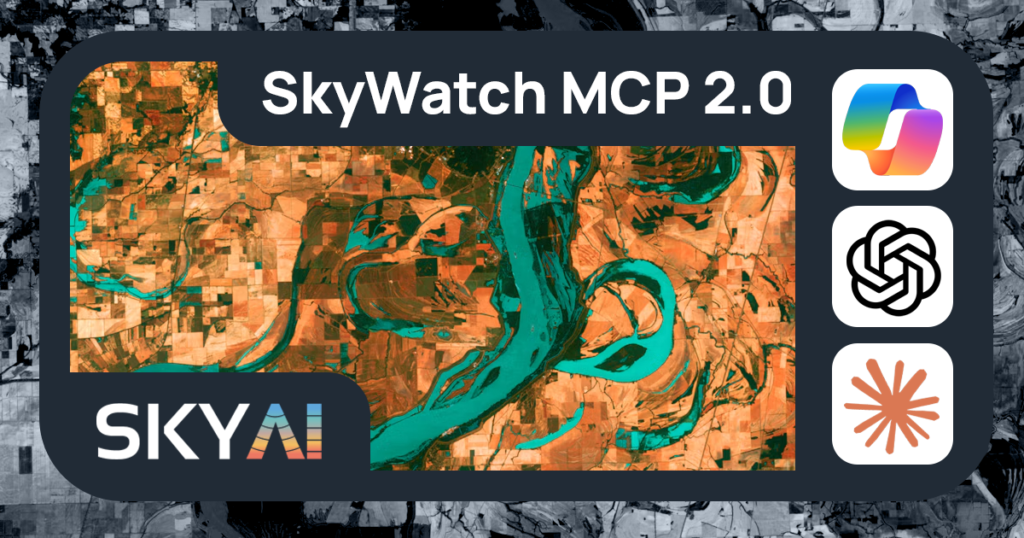
Today we’re launching SkyAI and updating SkyWatch MCP to version 2.0. Together, they’re two new ways to find, order and manage satellite imagery by simply asking for it in plain language.
Getting the right image used to mean working out the sensor type, resolution, date range and acceptable cloud cover, across multiple providers at varying costs. It’s a learning curve that has kept Earth observation data out of reach for many of the people who could use it most.
SkyAI and SkyWatch MCP 2.0 make it easy. Describe what you need, such as “Get the latest cloud-free image of Amsterdam Port for under $500,” and the search, comparison and ordering happen on the SkyWatch Platform drawing on the currently available tools: 56 in SkyWatch MCP 2.0 and 64 in SkyAI.
The difference is where you ask. SkyWatch MCP 2.0 brings SkyWatch into the AI assistant you already use. SkyAI is built into SkyWatch’s own applications.
What is SkyWatch MCP 2.0?
SkyWatch MCP 2.0 connects to ChatGPT, Claude and Microsoft 365 Copilot to facilitate searching, ordering and managing satellite imagery on the SkyWatch Platform.
Our original MCP has been available since February 2026 and offered four read-only tools and no sign-in. Version 2.0 adds sign-in with your SkyWatch account and grows the toolset to 56, which means you can now place orders, track spend, monitor sites, run analysis and publish results without leaving the chat.
SkyWatch MCP 2.0 works alongside everything your AI assistant can reach. One request can combine new imagery with your own documents, data and GIS workflows. Teams building their own AI agents can connect through the same standard MCP connection, instead of building a custom integration.
What is SkyAI?
SkyAI is SkyWatch’s AI agent, built into SkyWatch applications, starting with EXPLORE and HUB. It’s on by default for every SkyWatch customer, so there’s nothing to install or connect, and you don’t need an AI assistant of your own.
Because SkyAI is part of the application, it can do more than answer. It opens the right screens, draws areas on the map and walks you through workflows as you go. Ask “Show me recent clear imagery along the boundary of our mine site,” and SkyAI finds the site, outlines it on the map and shows the matching imagery right there.
That makes SkyAI especially useful for new and occasional users. You don’t have to learn EXPLORE or HUB before you can get value from them; SkyAI shows you around while it does the work.
Which one should you use?
Use whichever fits where you already work. Both run on the same SkyWatch Platform, so the choice is mostly about context. SkyWatch MCP 2.0 offers 56 tools, and SkyAI offers 64. Many teams will use both.
| SkyWatch MCP 2.0 | SkyAI | |
|---|---|---|
| Where you ask | ChatGPT, Claude or Microsoft 365 Copilot | EXPLORE and HUB |
| What you need | An AI assistant and a SkyWatch account | A SkyWatch account |
| Setup | Add SkyWatch from your assistant’s app directory, then sign in | None: it’s on by default |
| Best when | Imagery is one part of a bigger task that uses your other tools and data | You want results on the map, with guidance through each step |
SkyAI is also the natural choice when your company hasn’t adopted an AI assistant yet, or restricts connecting outside tools to one.
What can you do with 56+ tools?
The tools cover the full journey from “what’s out there?” to delivered imagery. A few highlights, each with the kind of request that uses it:
- Turn a place name into a search area. Name a place and the area is drawn for you, with no shapefiles or coordinates. “Map the Port of Amsterdam as my area of interest.”
- Search the archive and see previews first. Find matching imagery from across providers and look at it before you spend anything. “Find cloud-free images of it from the last month and show me previews.”
- Spot the gaps before you order. See which parts of your area the images you’ve found don’t cover. “Which parts of my area do these images miss?”
- Know how often an area gets imaged. Check how often each satellite source has captured your area recently, so you know what to expect. “How often has this area been captured recently, and by which satellites?”
- Price it, or plan a new capture. Get a cost estimate for archive imagery, or check whether and when a satellite could capture your area. “Could a satellite capture our Iowa farm next month at 50 cm?”
- Order and track it. Place archive or tasking orders, check their status and get your delivered files. “Show me the status of my recent orders.”
- Keep an eye on a site. Save the sites you care about, ask for any new imagery since you last checked, or schedule recurring captures.
- Analyze what you’ve bought. Run processing on delivered imagery and compare images over time.
You can also chain these together in a single request. With SkyWatch MCP 2.0, you can go one step further and publish finished imagery to your ArcGIS Online account as a tile layer.
How do you get started?
Getting started takes three steps either way, and neither needs an API key.
SkyWatch MCP 2.0, in your AI assistant:
- Search “SkyWatch” in the app directory inside ChatGPT, Claude or Microsoft 365 Copilot, and add it. (Full setup instructions are available here)
- Sign in with your SkyWatch account through a normal browser login. New to SkyWatch? Create an account from the same sign-in screen.
- Ask for the imagery you need.
SkyAI, in EXPLORE and HUB:
- Sign in to EXPLORE or HUB with your SkyWatch account.
- Open the SkyAI panel.
- Ask, and see the results on the map.
What comes next?
SkyAI starts in EXPLORE and HUB, with more SkyWatch applications to follow. SkyWatch MCP 2.0 brings SkyWatch into more of the places people already work. We built both because the hardest part of using satellite imagery shouldn’t be learning how to buy it. Now you can just ask.
Both are available to try now. Or reach out to our sales to find out how we can simplify your Earth observation acquisition strategy.