Look up at the sky. What do you see? Clouds, maybe a bird or a plane.
Now imagine looking down from far above those clouds. You’d see construction sites taking shape, mines expanding, and pipelines stretching across continents. You’d watch storm systems form offshore and cities change year by year.
That perspective from space is what we call Earth Observation (EO). Today, it’s changing how organizations plan projects, manage risk, respond to events, and make decisions on the ground.
For decades, EO data was locked behind government agencies, research institutions, and expensive custom contracts. That’s no longer the case. Platforms like SkyWatch now make satellite imagery and geospatial data accessible to engineers, analysts, insurers, utilities, and decision-makers — no deep remote sensing expertise required.
In this guide, we’ll cover what Earth Observation data is, where it comes from, and how you can start using it today.
What Is Earth Observation Data?
At its core, Earth Observation is the collection of information about Earth’s physical, chemical, and biological systems. Think of it as a continuous, global health check for the planet and the infrastructure built on it.
EO data is captured using remote sensing technologies that monitor land, water, and atmosphere over time. While the word “data” might sound abstract, EO outputs are often highly visual: satellite imagery, elevation models, change-detection maps, and environmental indicators.
That visual context is what makes EO so powerful. It lets organizations spot trends, measure change, and validate conditions in places that are hard, expensive, or dangerous to reach on the ground.
Where Does Earth Observation Data Come From?
Earth Observation data comes from multiple sources working together to provide both scale and detail.
Satellites
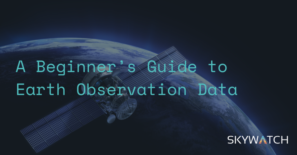
Satellites are the backbone of Earth Observation. Orbiting hundreds of kilometers above Earth, they capture imagery across multiple spectral bands, including visible light and infrared. That reveals information about terrain, vegetation, moisture, and built infrastructure.
Public missions like Landsat (US) and Sentinel (EU) provide decades of global coverage. Commercial satellites, such as those from Airbus and Vantor, offer higher resolution and more frequent revisits. SkyWatch aggregates access to many of these sources through a single platform.
Drones & Aerial Imagery
When higher resolution or site-specific detail is required, drones and crewed aircraft fill the gap. They’re often used for inspections, surveys, and localized monitoring — especially in construction, mining, and utilities.
Drones offer precision, while satellites provide consistency and historical context at scale. Many organizations use both together.
In-Situ (Ground) Sensors
Ground-based sensors — weather stations, river gauges, or IoT devices — help validate and calibrate what’s seen from above. Combined with other types of EO data, they create a more complete operational picture.
Why Should You Care? Real-World Applications
Earth Observation data is no longer just for scientists. It’s a practical tool used every day across asset-heavy and risk-sensitive industries.
Architecture, Engineering & Construction (AEC)
EO data helps AEC teams track site progress, verify earthworks, and monitor surrounding conditions without frequent site visits. Satellite imagery provides a visual record over time and supports planning and reporting. It also helps teams spot delays, access issues, or environmental constraints early in the project lifecycle.
Mining
Mining operators use EO data to monitor active sites, tailings facilities, haul roads, and environmental impact. Satellite imagery supports compliance reporting, land-use tracking, and change detection — especially for remote or hard-to-reach operations. Historical imagery is particularly valuable for understanding how sites evolve over time.
Energy, Oil & Gas
In energy, oil and gas, EO data supports pipeline monitoring, right-of-way management, site planning, and environmental oversight. Satellite imagery delivers situational awareness across vast areas, helping teams detect changes, assess risks, and respond faster to incidents or natural events.
Insurance
Insurers rely on EO data for risk assessment, underwriting, and claims validation. Satellite imagery helps evaluate property conditions and analyze exposure to hazards. After events like floods, wildfires, or storms, it speeds up damage assessment — often faster and more safely than on-site inspections.
Utilities
Utilities use EO data to monitor infrastructure corridors, assess vegetation encroachment, plan maintenance, and respond to outages or extreme weather. With consistent, repeatable coverage, satellite imagery supports proactive asset management and resilience planning across large service areas.
How to Access Earth Observation Data
Getting started with EO data doesn’t require building your own satellite program.
SkyWatch simplifies access to both public and commercial satellite imagery through a single platform. Instead of navigating multiple providers, data formats, and licensing models, you can search, preview, and order imagery tailored to your needs — whether that’s recent coverage, historical analysis, or high-resolution data for specific sites.
SkyWatch also integrates EO data into existing workflows, so teams can focus on insights rather than data procurement.
Tips for Your First EO Project
If you’re new to Earth Observation, a few best practices can help you get value faster:
- Start with a clear question. For example: How has this construction site changed over six months? Or: What did this asset look like before a storm event?
- Use analysis-ready imagery. Many datasets are already processed to remove clouds and atmospheric noise, saving you time and complexity.
- Leverage historical data. EO’s real power comes from time series analysis — understanding what changed, when, and how fast.
- Integrate with GIS tools. Platforms like ArcGIS or QGIS let you combine satellite imagery with maps, asset data, and operational layers.
The View From Above
Earth Observation data gives organizations a new kind of visibility: the ability to understand what’s happening across sites, regions, and years from a single perspective.
Whether you’re planning infrastructure, managing natural resources, assessing risk, or responding to events, the barrier to using EO data has never been lower. With platforms like SkyWatch, satellite imagery becomes a practical, accessible tool — not a specialized science project.
The view from above is waiting. All you have to do is use it.