SkyWatch Collaborates with Microsoft to Integrate Commercial Satellite Imagery into Planetary Computer Pro
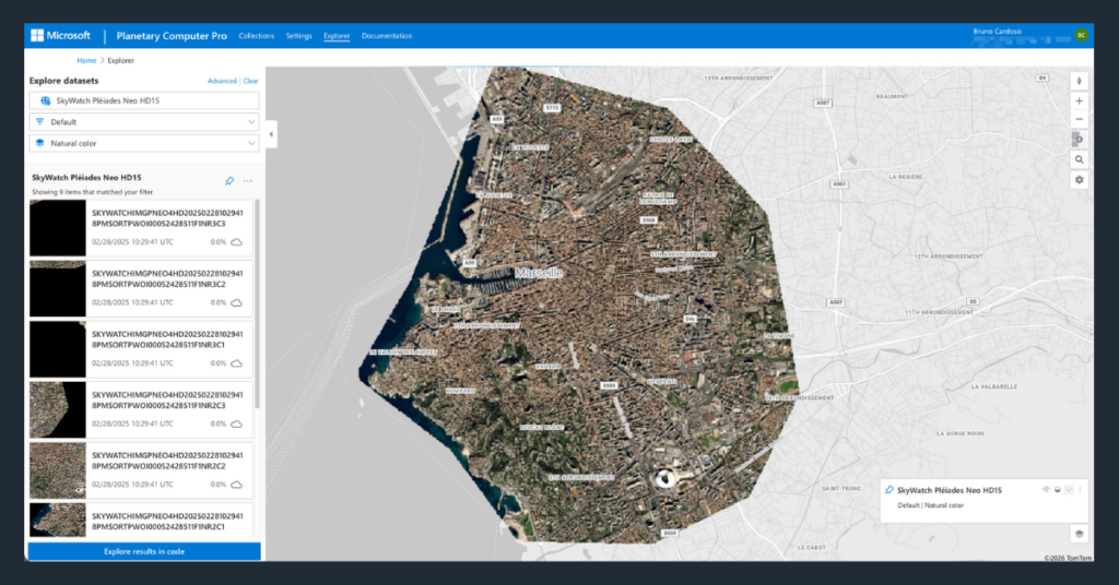
SAN FRANCISCO, CA, UNITED STATES, June 2, 2026 /EINPresswire.com/ — SkyWatch today announced an integration between SkyWatch’s commercial Earth observation platform and Microsoft Planetary Computer Pro; giving enterprise customers a direct path from imagery procurement to analytics. The Microsoft Planetary Computer Pro integration was developed jointly with the Microsoft Planetary Computer engineering team and is built on the SpatioTemporal Asset […]
Spexi Orthomosaic Drone Imagery Now Available on the SkyWatch Platform

KITCHENER, ON / ACCESS Newswire / February 17, 2026 /
A Beginner’s Guide to Using Earth Observation Data
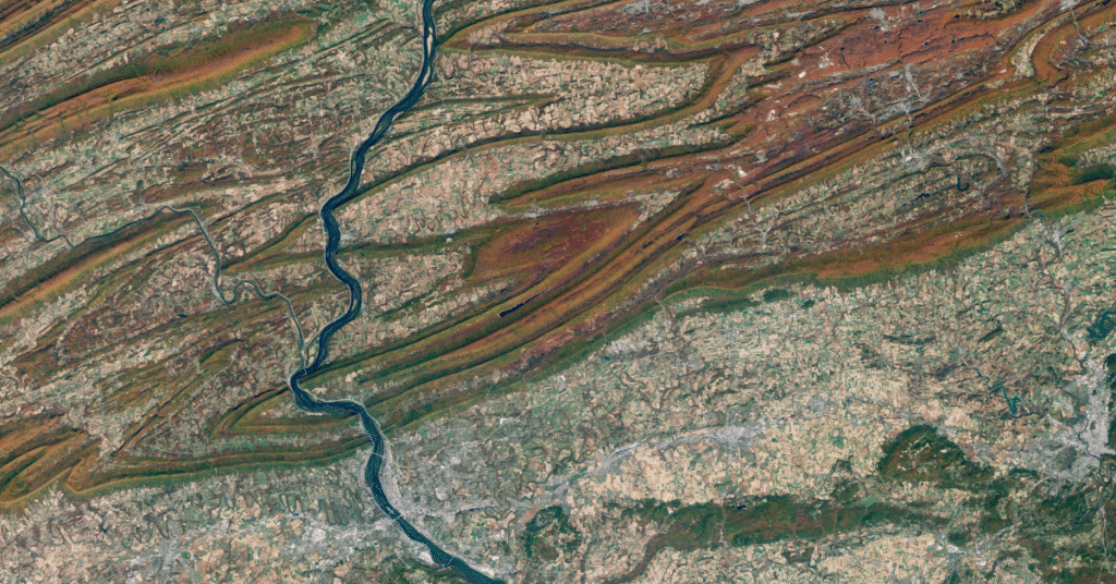
Look up at the sky. What do you see? Clouds, maybe a bird or a plane. Now imagine looking down from far above those clouds. You’d see construction sites taking shape, mines expanding, pipelines stretching across continents, storm systems forming offshore, and cities changing year by year. That perspective from space is what we call […]
Evaluating Satellite Imagery Providers: What Enterprise Leaders Need to Know
Satellite imagery has moved far beyond the realm of government agencies and specialized scientific groups. Today, it’s a critical asset for enterprises across agriculture, insurance, energy, and logistics. If you need to monitor crop yields in Brazil, assess flood risk in Florida, or track shipping containers in Singapore, views from orbit provide the ground truth […]
Common Mistakes Business Users Make with Earth Observation Data (and How to Avoid Them)

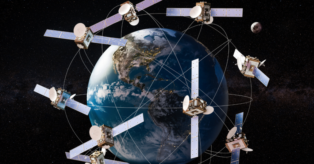
The view from above is changing how we do business. Satellite imagery and remote sensing, collectively known as Earth observation (EO) data, are no longer just tools for spies or meteorologists. Today, hedge funds use them to count cars in retail parking lots, insurance companies use them to assess flood risk, and farmers use them […]
SkyWatch and Nearmap Partner to Expand Access to High-Resolution Aerial Imagery for GIS Professionals
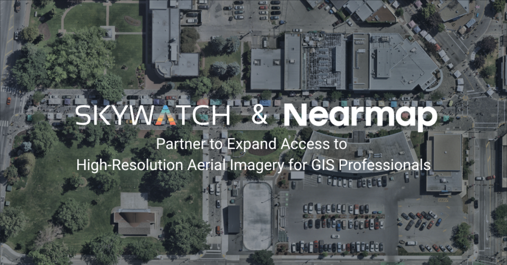
KITCHENER, ON / ACCESS Newswire / January 14, 2026 / SkyWatch, a leading geospatial data platform that simplifies access to premium satellite and aerial imagery, today announced a partnership with Nearmap, a global leader in property intelligence. Together, SkyWatch and Nearmap are expanding how geospatial professionals discover, purchase, and use up-to-date aerial imagery to support […]
How Satellite Imagery Helps Enterprises Stay Ahead of Regulatory Compliance
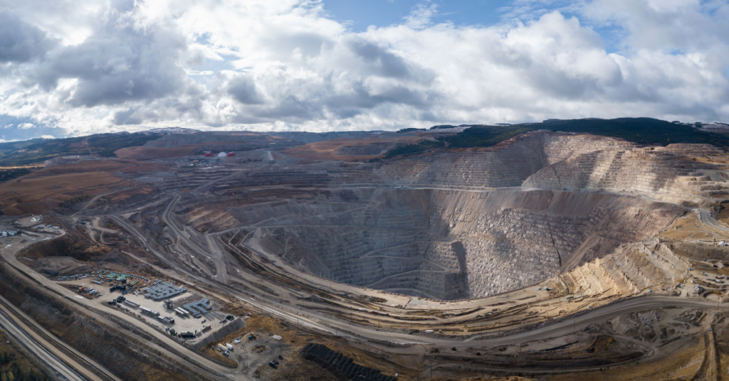
Regulatory compliance is rarely the most glamorous part of business operations, but for industries like mining, energy, and construction, it is arguably the most critical. One missed report or unnoticed environmental violation can lead to hefty fines, project shutdowns, or reputational damage. Traditionally, monitoring compliance meant sending teams into the field, which is expensive, time-consuming, […]
Exploring Live Satellite View: What’s Possible with Real-Time Satellite Imagery?

Imagine having the ability to view any location on Earth almost as it appears today: tracking rapid changes in landscapes, monitoring infrastructure from afar, or making fast, informed decisions in the field. The idea of a live satellite view sparks the imagination and is quickly moving from science fiction to reality, thanks to incredible advancements […]
Satellite Imagery Companies
Satellite imagery companies are transforming how we view and understand our world. They provide a wide range of services, from commercial to free satellite imagery, that support critical applications across industries. Today, you don’t need to work directly with each satellite operator. SkyWatch offers a unified platform where organizations can easily purchase satellite imagery from […]
Satellite Imagery Pricing: What You Need to Know
For project managers in mining, energy, and government, having the right data is not just an advantage, it’s essential for safety, compliance, and operational efficiency. Satellite imagery provides a powerful, objective view of your assets and areas of interest, enabling smarter decisions from the office to the field. But as you look to purchase satellite […]