Aerial Imagery is Now Available in Content Store for ArcGIS
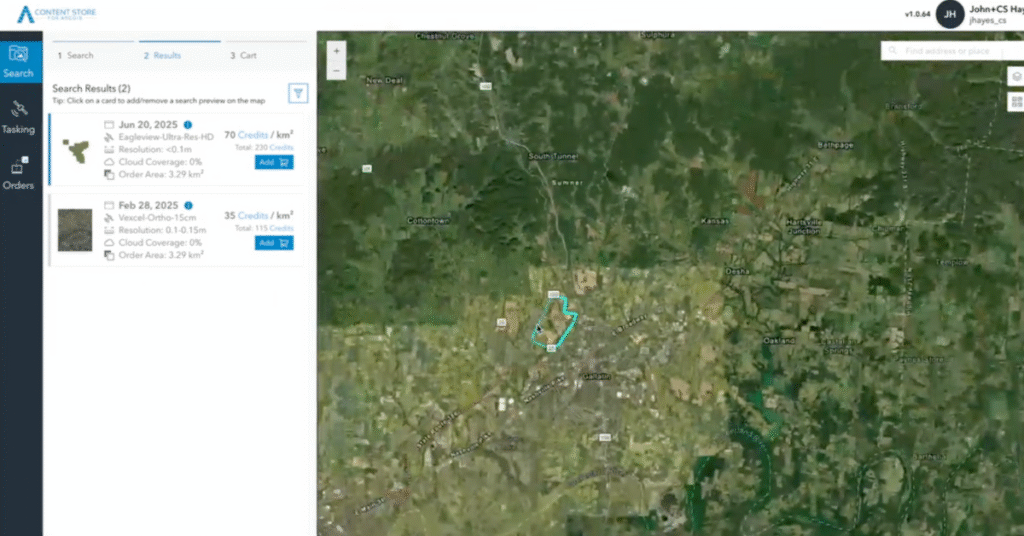
At SkyWatch, we’re on a mission to make Earth observation data more accessible, discoverable, and useful than ever before. That’s why we’re excited to announce that high-resolution aerial imagery from leading providers is now available directly through SkyWatch’s Content Store for Esri ArcGIS. Content Store makes it easy for ArcGIS users to browse, preview, and […]
Maxar Precision3D – 50cm
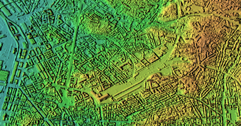
Maxar Precision3D 50-cm data is a highly detailed, globally available 3D elevation product.
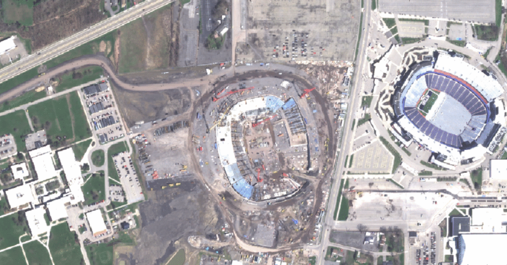
Maxar – 30cm

Maxar’s 30cm imagery, available since 2014 with the launch of WorldView-3, offers high-resolution Earth observation capabilities.
How To Buy Satellite Images

In today’s data-driven world, access to high-resolution geospatial data can transform how organizations interact with our planet. For industries like mining, government, energy, and construction, making critical decisions and gaining a competitive advantage depends on reliable, up-to-date information. Satellite imagery provides this crucial perspective, offering unparalleled insights for everything from site monitoring to emergency response. […]
What Is Satellite Imagery? A Guide for Modern Businesses
From monitoring vast agricultural fields to planning the cities of tomorrow, the view from above offers unparalleled insights. Satellite imagery is transforming how industries operate, enabling organizations to make critical decisions with precision and foresight. These “eyes in the sky” provide a wealth of Earth observation data, driving efficiency, enhancing safety, and unlocking new possibilities. […]
Esri Launches Content Store for ArcGIS
REDLANDS, Calif.–(BUSINESS WIRE)–Esri, the global market leader in location intelligence, is launching Content Store for ArcGIS, a new web app that simplifies the process of purchasing and integrating commercial satellite imagery. This app, developed by Esri and SkyWatch, allows organizations to buy high-quality imagery from Esri’s cornerstone partner, Maxar, as well as other leading providers. […]
Announcing SAR Tasking Availability on SkyWatch HUB and EXPLORE

We’re thrilled to announce that synthetic aperture radar (SAR) tasking capabilities have been added to SkyWatch HUB, and both archive and tasking options are now available in SkyWatch EXPLORE. This significant expansion of our platform capabilities empowers users with new tools to access synthetic aperture radar (SAR) data, providing enhanced flexibility and precision for geospatial […]
Check out the Latest Version of our ArcGIS Pro Add-In

We’re thrilled to announce the latest version of the Satellite Imagery for ArcGIS Pro, powered by SkyWatch. This release is packed with new features designed to enhance your geospatial workflows, improve budget tracking, and bring you even greater data access. These updates are a direct result of your feedback and our commitment to making your […]
The Consumerization of Geospatial Data

The consumerization of technology has reshaped the landscape of industries over the past few decades. From the early days when corporate IT departments maintained tight control over technology, we’ve moved to an era where employees use personal devices and cloud services to get work done. This trend, known as the consumerization of IT, has both […]
Maxar Imagery is now Available on the SkyWatch Platform

WATERLOO, Ontario and WESTMINSTER, Colo., October 9, 2024 (Newswire.com) – SkyWatch, a leading provider of commercial geospatial data, and Maxar, the leading provider of secure, precise geospatial intelligence, today announced a multi-year agreement enabling the distribution of Maxar’s high-resolution satellite imagery to SkyWatch’s global customer base* via the SkyWatch platform. Through this partnership, SkyWatch customers will have […]