Top 10 Free Sources of Satellite Data
There are many sources of satellite data you can use depending on your needs. Some platforms will let you view the data in your browser, some offer download options so you can process it and extract meaningful insights. Some focus on open (free) satellite imagery, some focus on the highest resolution satellite imagery available for […]
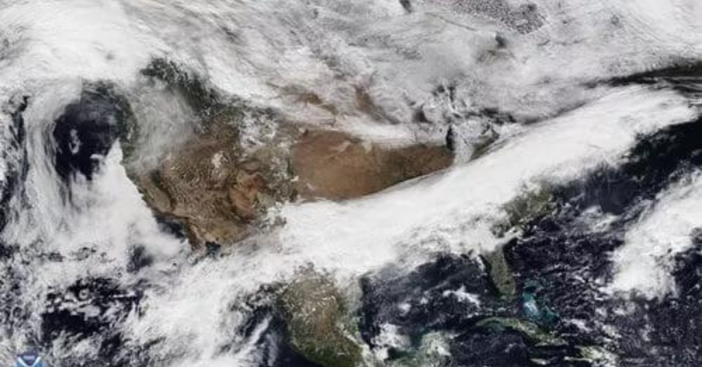
What does real-time satellite data really look like?
Real-time satellite data is a trendy concept and a question that our customers sometimes ask. But real-time satellite data is not what you think it is. As with most high-quality feeds, limitations on data refresh come from transfer speeds and processing speeds. In best-case scenarios, it could take only a few minutes between data capture […]
How an Intelligence company uses SkyWatch EarthCache

ShadowBreak is an Intelligence consultancy company that focuses on layering data from a variety of sources to provide multi-Intelligence analysis for their military, governmental, and corporate clients. Both their solutions, ReconLink and TacSight, deliver critical insight for decision makers on vital security issues such as regional conflicts, foreign military combat capabilities, general military intelligence assessments […]
How a Precision Agriculture Application Uses SkyWatch EarthCache

CropSafe is a mobile application that helps farmers monitor the growth of their crops. CropSafe gives farmers information on what is happening in their fields to help them improve their yields, thanks to a combination of up-to-date satellite imagery, sensor data, and machine learning. The application collects data from a variety of sources, including satellite […]
Design and Implement Sustainability Strategies With Satellite Data

52impact brings spatial (satellite, aerial, and drone) information to markets who haven’t been using these types of datasets. The company is working with decision makers in industries who haven’t previously worked with geospatial data. The group leans heavily on close customer relations and data visualization to help bridge the gap between the images and the […]
AI in Space

AI in space is not just for government officials or the military; it’s available to anyone looking to access it. At SkyWatch, we believe in simplicity. We’ve taken a very challenging data engineering problem – obtaining, processing, and standardizing satellite data – and built a platform that abstracts the massive amount of complexity required to […]
Understanding data transfers
Let’s break down data transfers. Satellite data collection is extensive, with some of the latest high-resolution optical and radar readings gathering gigabits of information each second. The issue lies in sending this data back to Earth, an act known as a downlink. Unfortunately, current technology has these downlinks occurring on sun-synchronous orbits at limited points […]
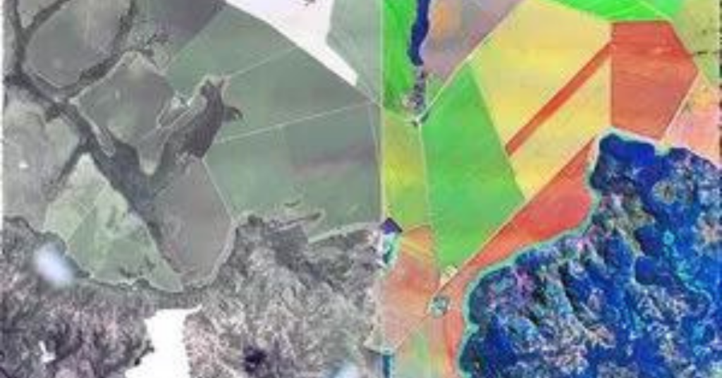
Understanding how Satellite Images are created

Understanding how satellite images are created begins with sensors. Satellite sensors, unlike our eyes, capture much more information and relay it back to us in a format quite different from the photographs we are used to. Satellites capture data by assigning a digital value to each pixel based on the reflectance of the corresponding area […]
Understanding Orbits

Sun-synchronous low Earth orbits Understanding orbits is simpler than one might think. In the same way as consumer cameras, the closer you are to the object you want to capture, the more details you can see. Satellites in Low Earth Orbit (LEO) can capture images of high resolution because they are closer to the object […]
What’s the difference between multispectral, hyperspectral, and SAR?
Multispectral and hyperspectral satellites A sensor’s spatial resolution, or how fine the pixels on the ground will be, is inversely related to its spectral resolution or how well it can discriminate between spectral bands. Because of this, satellites that record data along multiple spectral bands (hyperspectral) do not have the same spatial resolution as satellites […]