How an infrastructure company uses satellite data

LiveEO uses satellite imagery to provide innovative infrastructure monitoring in the verticals railway, electricity, and pipelines and empowers the operators to save in operational expenses by observing dangers from vegetation, height changes and third party interactions along the network. How LiveEO uses satellite data Sven Przywarra, LiveEO’s co-founder explained that the company focuses on generating […]
How an Artificial Intelligence company uses satellite data

Picterra is a self-serve platform enabling businesses to autonomously extract intelligence & analytics from satellite, aerial, and drone imagery. It comes with a ready-to-use IT infrastructure: in a few clicks, it’s possible to process terabytes of imagery with Picterra’s auto-scaling, GPU-enabled infrastructure. With Picterra, a machine learning model can be built in less than 30 […]
SkyWatch Signs Agreement with Guyana-Based Latitude Geospatial
WATERLOO, ONTARIO, June 18, 2021 – Latitude Geospatial Consulting Inc. (“LatGeo”), a Guyana-based geospatial data partner and location technology consultancy, has been selected by SkyWatch Space Applications Inc. (“SkyWatch), to deliver Earth observation data in Guyana. LatGeo provides creative solutions in the areas of location-based technologies and location-based intelligence, using GIS services and spatial data. […]
5 Benefits of Using Satellite Imagery Over Drones

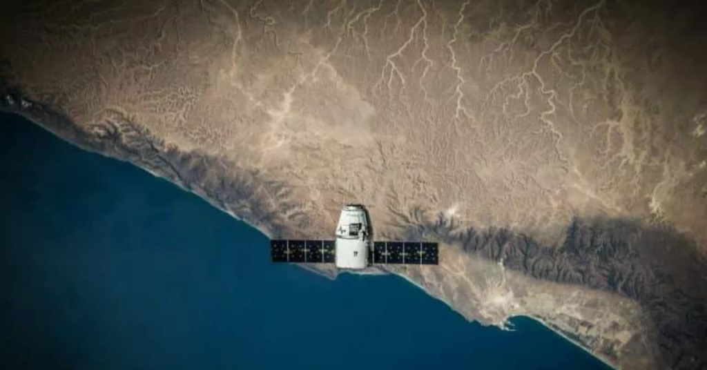
According to Euroconsult, the global market for commercial Earth observation data and services will reach $8 billion by 2029, up from $4.6 billion in 2019. Understanding when to use satellite imagery over drones is key to making an informed decision when collecting this data type. Here are 5 benefits of using satellite imagery over drones […]
Satellite Image Outputs and Their Applications
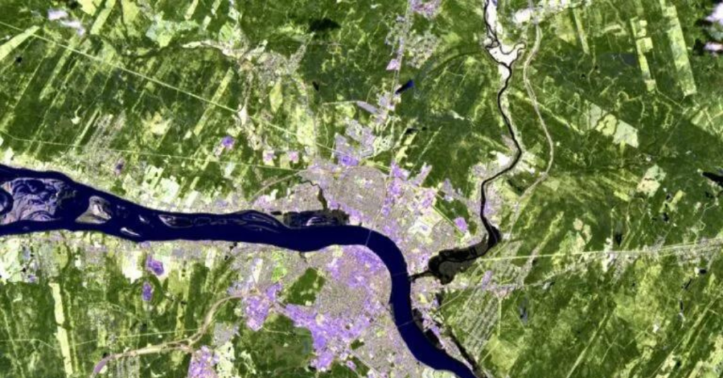
Colors are just how our eyes interpret light. Light is made of electromagnetic waves. When light shines on an object, some wavelengths are absorbed and others are reflected. The colors we’re able to see are just a small range of reflected wavelengths that can be perceived by our vision. They consist of a tiny visible […]
Why Buying Satellite Imagery Used to Be So Hard
A remote sensing device, such as a satellite, collects and acquires physical, chemical, and biological information about the Earth. This blog aims to explain how satellites can detect invisible radiation to the human eye. Then, GIS professionals can use various techniques to extract insights from the composite image. For example, a satellite image can visually […]
SkyWatch Signs Agreement With Y Combinator-Backed Matidor

WATERLOO, ONTARIO, October 20, 2021 – Matidor, a Vancouver-based collaborative geospatial data software providery, has been selected by SkyWatch Space Applications Inc. (“SkyWatch), to deliver Earth observation data via its software solution. Built on an intuitive map-based interface, Matidor delivers real-time project tracking, collaboration, and reporting among users. Matidor’s solution can provide both a broad […]
SkyWatch provides Orbital Eye with an efficient alternative to helicopter monitoring

Orbital Eye monitors critical infrastructure, such as oil and gas pipelines, for third-party interferences, such as construction work and excavations. Traditionally, oil and gas companies used helicopters to monitor their pipelines. Orbital Eye was founded with the vision that traditional aerial inspection methods based on helicopters could be replaced by satellite observation. Orbital Eye’s platform, […]
Top Four Coolest Ways Satellite Imagery is Being Used

In honour of Earth Day, we’re highlighting the top four coolest ways satellite imagery is being used for environmental monitoring. Tasking satellite imagery goes beyond the image itself; it also collects and measures data to monitor change. Earth observation data is easily accessible for organizations wanting to track a geographical area through SkyWatch. In these […]
Pinkmatter Joins TerraStream Certified Solutions Program
SkyWatch Space Applications Inc. (“SkyWatch”), a leading provider of machine-to-machine (M2M) Earth observation aggregation and data management platforms for satellite operators, announced today at the SmallSat Symposium the addition of Pinkmatter to its roster of TerraStream Certified Solutions Providers.