SkyWatch — Header
Satellite Image Outputs and Their Applications | SkyWatch

Technical Explainer

Satellite image outputs and their applications

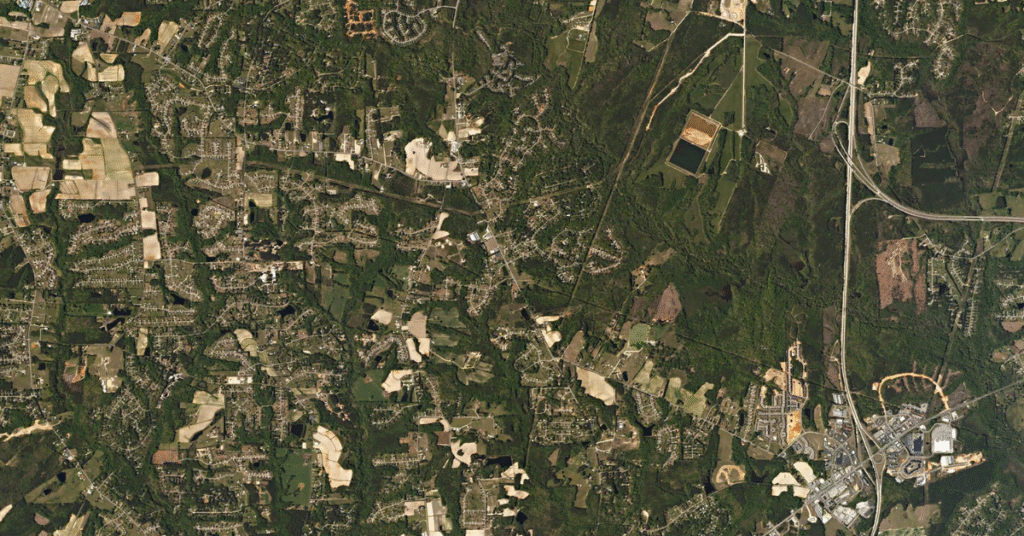
Colour is just how our eyes interpret light — and satellites can sense far more than we can see. By assigning invisible wavelengths like infrared to visible colours, remote-sensing professionals turn raw bands into images that reveal vegetation health, water, urban change, and more.

Here are the most common satellite image outputs and what each is used for.

Same area shown as true colour, false colour infrared, NDVI, and SAR satellite outputs

The basis

From spectral bands to readable images

Multispectral sensors collect data across visible and invisible bands. Combining those bands in different ways — or calculating indices from them — produces outputs tuned to specific questions, from plant health to flood mapping.

Blue
Green
Red
Visible to the human eye
Near-IR
SWIR 1
SWIR 2
Invisible — captured by sensors

Sensors record bands beyond human vision, then map them to colour.

Reference

Outputs and their applications

Each output combines bands — or derives an index from them — to answer a specific kind of question.

Output
Bands / basis
Common applications
True colour
Bands / basisRed + green + blue
ApplicationsVisual inspection; a natural-looking baseline.
False colour infrared
Bands / basisNear-IR + red + green
ApplicationsDelineating features; distinguishing vegetation, water, snow and ice; flood monitoring.
False colour urban
Bands / basisSWIR1 + SWIR2 + red
ApplicationsTracking urban sprawl; identifying flood-risk areas.
NDVI
Bands / basisIndex (NIR & red)
ApplicationsVegetation greenness, plant health, biomass, drought.
MSAVI2
Bands / basisIndex (NIR & red)
ApplicationsVegetation cover and land-cover/class mapping where soil shows through.
NDWI2
Bands / basisIndex (NIR & SWIR)
ApplicationsWater content and water-body analysis; drought-affected vegetation.
EVI
Bands / basisEnhanced veg. index
ApplicationsCanopy coverage and crop health, especially late season.
Near-infrared (NIR)
Bands / basisNIR band
ApplicationsVegetation type, density, water content, and plant health.
Panchromatic
Bands / basisSingle blended band
ApplicationsGrayscale detail; pansharpening to boost multispectral sharpness.
SAR
Bands / basisRadar polarizations
ApplicationsSees through cloud, day or night; flood mapping, change detection, forest and agricultural classification.

Pick the right output for your project

Outputs are one of the choices you make when ordering — see how they fit into the wider workflow in the ultimate satellite imagery guide, then start exploring imagery to choose your output in EXPLORE.