Leveraging Satellite Imagery For Reforestation
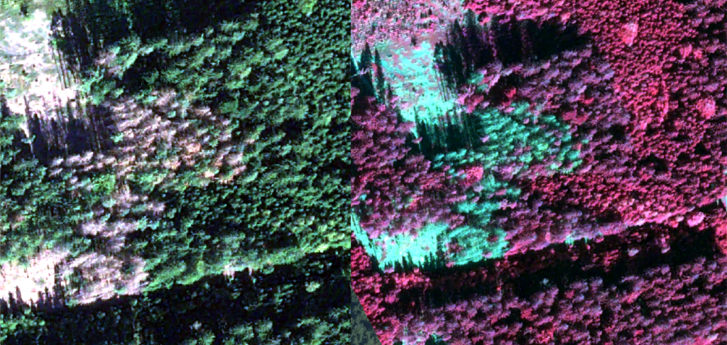
Leveraging satellite imagery for reforestation starts with the act of environmental monitoring. Environmental monitoring often relies on satellite imagery due to its unobtrusive, cost-effective, and

SkyWatch Announces Content Store for ArcGIS
The new web application is built on, and deeply integrated with, Esri’s ArcGIS Online platform to provide a premium experience for geospatial content discovery and

Explore Very High Resolution Data with SkyWatch
With some exciting new additions to our roster of leading data providers, SkyWatch is proud to offer the highest concentration of very high resolution geospatial

INTRODUCING THE SKYWATCH PLATFORM
When we started SkyWatch, our vision was to build a platform that enabled anyone to programmatically access all of the world’s satellite data, through a

Enhancing News Coverage with Satellite Imagery Analysis
Using satellite imagery is a great competitive advantage for those in the media industry to enhance their news coverage. Earth observation technology provides an excellent

What is EO used for?
Watch Earth observation refers to the collection of information about our planet’s physical, chemical, and biological systems using various technologies, such as satellites, aircraft, drones,

Changing the Oil and Gas Industry with Satellite Data
In the oil and gas industry, site monitoring is an essential component of operating effectively and safely. Site monitoring is crucial to safety, compliance, and

What are the most common satellite image processing techniques?
Watch What are the most common satellite image processing techniques? Satellite image processing involves various techniques to enhance, analyze, and extract information from satellite imagery.

Capella Space Selects SkyWatch as First Aggregation Platform Partner
KITCHENER, ON, March 5, 2024 – SkyWatch Space Applications Inc. (“SkyWatch”), a leader in the remote sensing data technology industry, announced today that it has
