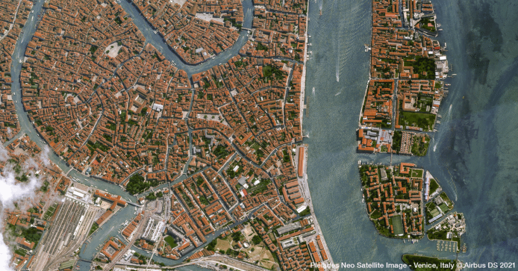
Evaluating Satellite Imagery Providers: What Enterprise Leaders Need to Know
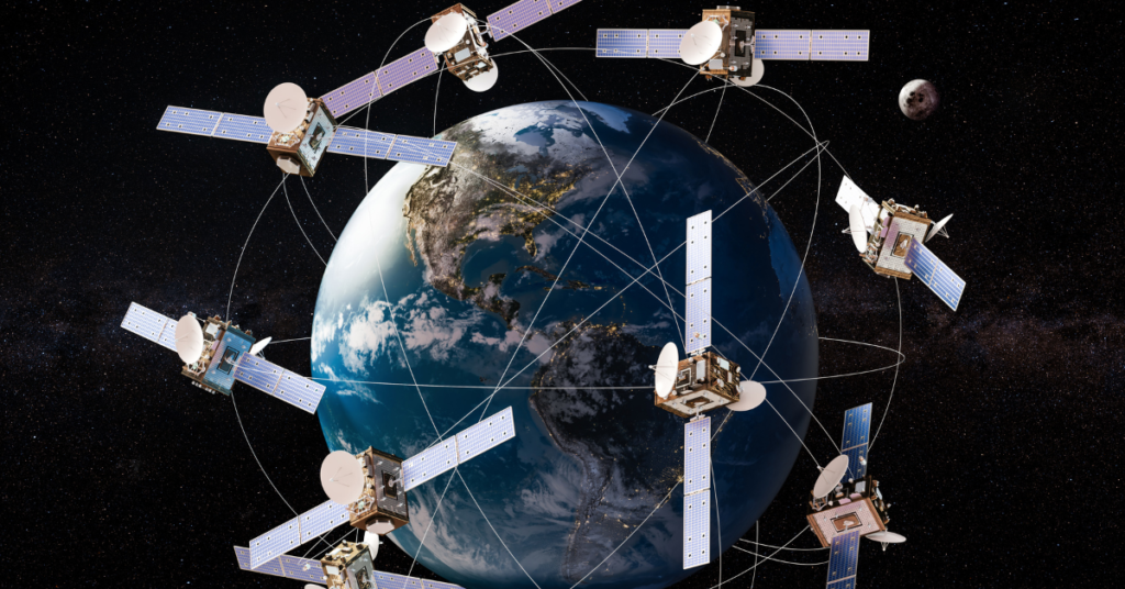
Satellite imagery has moved far beyond the realm of government agencies and specialized scientific groups. Today, it’s a critical asset for enterprises across agriculture, insurance, energy, and logistics. If you need to monitor crop yields in Brazil, assess flood risk in Florida, or track shipping containers in Singapore, views from orbit provide the ground truth […]
How Satellite Imagery Helps Enterprises Stay Ahead of Regulatory Compliance
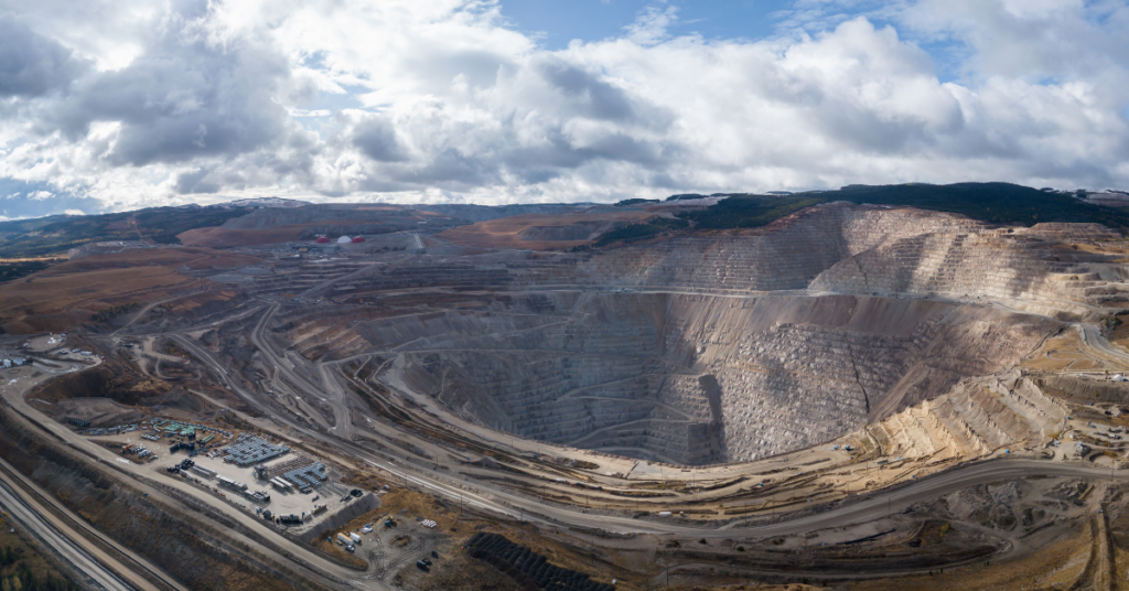
Regulatory compliance is rarely the most glamorous part of business operations, but for industries like mining, energy, and construction, it is arguably the most critical. One missed report or unnoticed environmental violation can lead to hefty fines, project shutdowns, or reputational damage. Traditionally, monitoring compliance meant sending teams into the field, which is expensive, time-consuming, […]
Exploring Live Satellite View: What’s Possible with Real-Time Satellite Imagery?
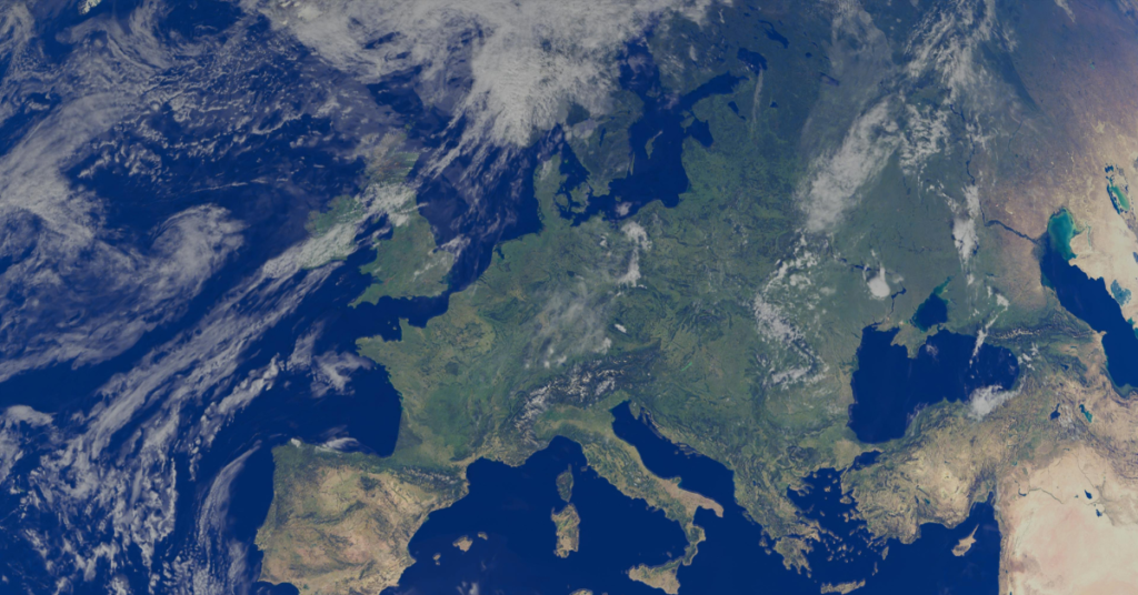
Imagine having the ability to view any location on Earth almost as it appears today: tracking rapid changes in landscapes, monitoring infrastructure from afar, or making fast, informed decisions in the field. The idea of a live satellite view sparks the imagination and is quickly moving from science fiction to reality, thanks to incredible advancements […]
Satellite Imagery Pricing: What You Need to Know
For project managers in mining, energy, and government, having the right data is not just an advantage, it’s essential for safety, compliance, and operational efficiency. Satellite imagery provides a powerful, objective view of your assets and areas of interest, enabling smarter decisions from the office to the field. But as you look to purchase satellite […]
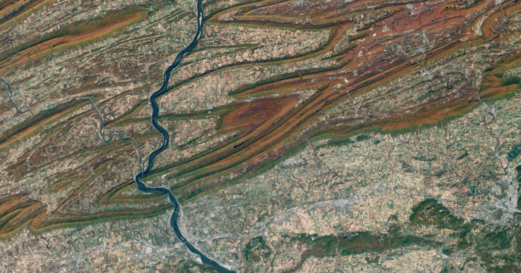
Highest Resolution Satellite Imagery: What You Should Know
Access to clear, precise geospatial data is completely changing how organizations work. For industries like mining, energy, government, and urban development, the ability to see our planet in amazing detail is a game-changer. Leaders can now make smarter, faster decisions that improve compliance, safety, and operational efficiency. Thanks to incredible advancements in technology, today’s highest […]
How To Buy Satellite Images
In today’s data-driven world, access to high-resolution geospatial data can transform how organizations interact with our planet. For industries like mining, government, energy, and construction, making critical decisions and gaining a competitive advantage depends on reliable, up-to-date information. Satellite imagery provides this crucial perspective, offering unparalleled insights for everything from site monitoring to emergency response. […]
What Is Satellite Imagery? A Guide for Modern Businesses
From monitoring vast agricultural fields to planning the cities of tomorrow, the view from above offers unparalleled insights. Satellite imagery is transforming how industries operate, enabling organizations to make critical decisions with precision and foresight. These “eyes in the sky” provide a wealth of Earth observation data, driving efficiency, enhancing safety, and unlocking new possibilities. […]