- SkyWatch
- Satellite Imagery
- Commercial Satellite Imagery
Drive Business Intelligence with Commercial Satellite Imagery
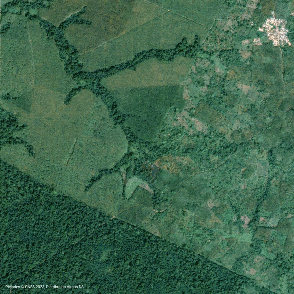
Strategic decisions demand accurate, up-to-date information, and commercial satellite imagery delivers the unparalleled clarity and insights your business needs to stay ahead. We offer high-resolution imagery solutions tailored for professional applications, enabling you to monitor assets, analyze market trends, and mitigate risks with confidence.
Commercial Satellite Imagery: A Competitive Edge
From tracking construction progress to assessing environmental impact, commercial satellite imagery transforms complex challenges into clear opportunities. Our reliable and precise data empowers you to make informed decisions that drive efficiency, growth, and operational excellence across your entire organization.
The Advantage of Commercial-Grade Data
Unlike open-source alternatives, commercial satellite imagery provides the superior detail and frequency required for mission-critical business operations. Gain access to sub-meter resolution visuals, frequent revisit rates, and a wealth of spectral data that reveal what the naked eye cannot see.
Unmatched precision
Leverage high-resolution commercial imagery to identify and analyze fine details on the ground, crucial for accurate assessments and planning.
Reliable updates
Stay current with frequent revisits over your areas of interest, ensuring your intelligence is always relevant.
Data-driven decision support
High-resolution imagery enables informed choices and guides strategic planning based on clear, up-to-date visual information and analysis-ready data.
Order what you need
Request commercial satellite imagery aligned to your exact specifications, including area of interest, resolution, and delivery timeline.
Tailored Applications for Your Industry
Commercial satellite imagery is a powerful tool that delivers a significant return on investment across a diverse range of sectors. Its ability to provide objective, large-scale intelligence makes it indispensable for modern industry leaders.
Real Estate & Construction
Monitor construction site progress from start to finish, conduct accurate site assessments for new developments, and gain a competitive advantage in property analysis. High-resolution commercial imagery helps you verify project milestones and manage timelines effectively without constant site visits.
Energy & Utilities
Optimize asset management by remotely monitoring pipelines, transmission lines, and power plants. Assess vegetation encroachment, detect potential geohazards, and plan infrastructure maintenance with greater accuracy and safety.
Mining and Natural Resources
Unlock valuable insights into mineral deposits, monitor site expansion, and ensure regulatory compliance with up-to-date satellite imagery. Track changes in land use, map infrastructure, and manage environmental impact with accurate, high-resolution data designed for mining and natural resource operations.
Our Commercial Satellite Imagery Partners


Unlock the Power of Commercial Satellite Imagery
Equip your team with the highest quality geospatial data. Discover how our commercial imagery offerings can provide the clarity and insight your organization needs to thrive.