Taking photos from orbiting satellites, also known as “tasking,” is a practice among many Earth Observation [EO] data providers.
After seeing some comments on Twitter, we wanted to outline the value of tasking satellites and how SkyWatch’s platform EarthCache can help you take amazing photos on Earth from space. In this article, we’ll define tasking, its benefits, how SkyWatch helps you access tasking satellites and show some examples of incredible imagery.
If you have questions about satellite imagery, we encourage you to Tweet your question with our new hashtag: #askskywatch. We’ll answer your questions through our blogs, videos or a conversation!
What are Tasking Satellites?
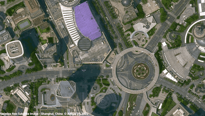
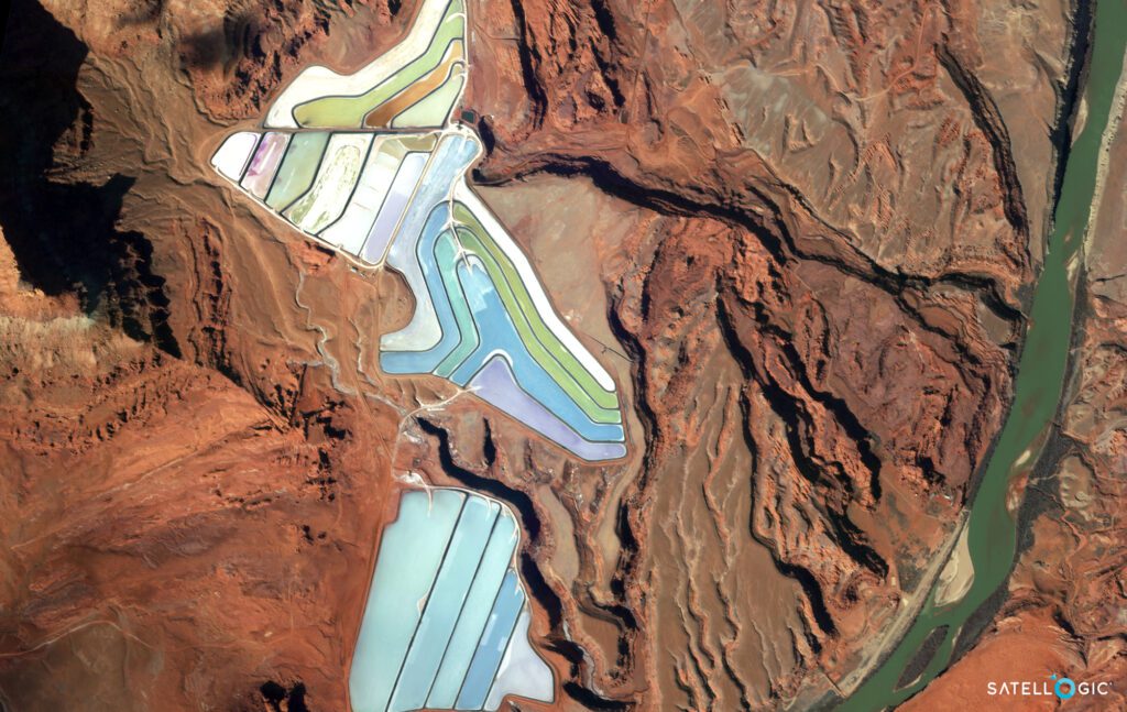
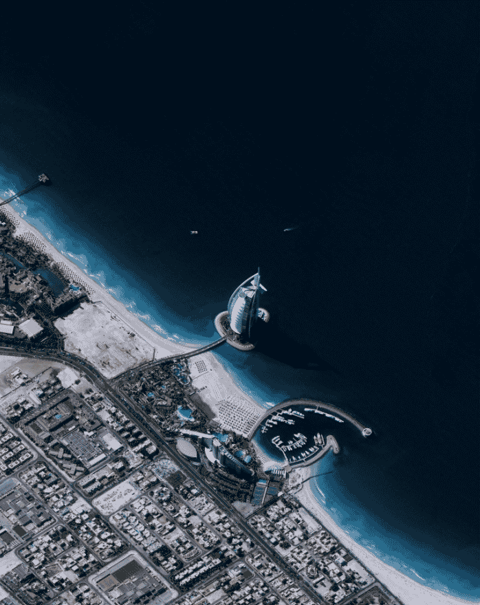
Tasking is “ordering” new satellite imagery from a specific satellite. To task a satellite, coordinates of an area of interest (AOI), time frame and interval are sent to the satellite provider. The satellite will capture an image of that area during the specified time period, weather permitting. The “tasked” image is then provided to the customer in their specified output format. The available outputs are based on the satellite’s capabilities. Tasking satellite imagery provides a customized experience where you can specify the exact place, time frame, resolution and amount of KM covered in the imagery.
Tasking satellites can be used for various purposes, such as monitoring environmental conditions, tracking weather patterns, or studying the effects of climate change. They can also monitor human activity, such as mapping urban areas or measuring traffic congestion. In addition, tasking satellites can be used for communications, such as providing coverage for cell phones or broadcasting television signals.
There are different types of tasking satellites, each designed to perform a specific function. However, all tasking satellites share common features, such as the ability to receive commands from ground controllers and transmit data back to Earth.
Benefits of Using SkyWatch for Tasking Satellites
SkyWatch’s mission is to democratize earth observation [EO] data, and through our platform TerraStream, we have a strong network of data providers that can meet commercial needs for satellite imagery. TerraStream is a platform for industry-leading providers to sell EO data, and EarthCache is a platform to buy EO data. On EarthCache, you can purchase archival data or task a satellite of your desired AOI.
Here are just a few of the benefits of using our services:
-
- Access to high-quality imagery. When you task a satellite through EarthCache, you’ll have access to some of the highest-quality imagery available. This means you’ll be able to capture stunning shots that would otherwise be impossible to get.
-
- Access to historical imagery. Archival data or images captured by others are available in the EarthCache database. If there is imagery that fits your needs for a project, you don’t have to task a satellite to get it; you can purchase what is available.
-
- Affordable pricing. We understand that not everyone has an unlimited budget for their projects, but that shouldn’t be a barrier to accessing valuable data.
-
- That’s why we offer competitive pricing.
-
- Affordable pricing. We understand that not everyone has an unlimited budget for their projects, but that shouldn’t be a barrier to accessing valuable data.
-
- Personalized service. When you work with SkyWatch, you’ll receive personalized attention and service throughout the process. We’ll work with you to get the data you need for your analysis.
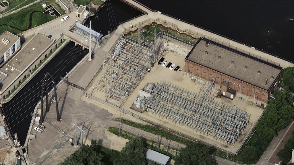
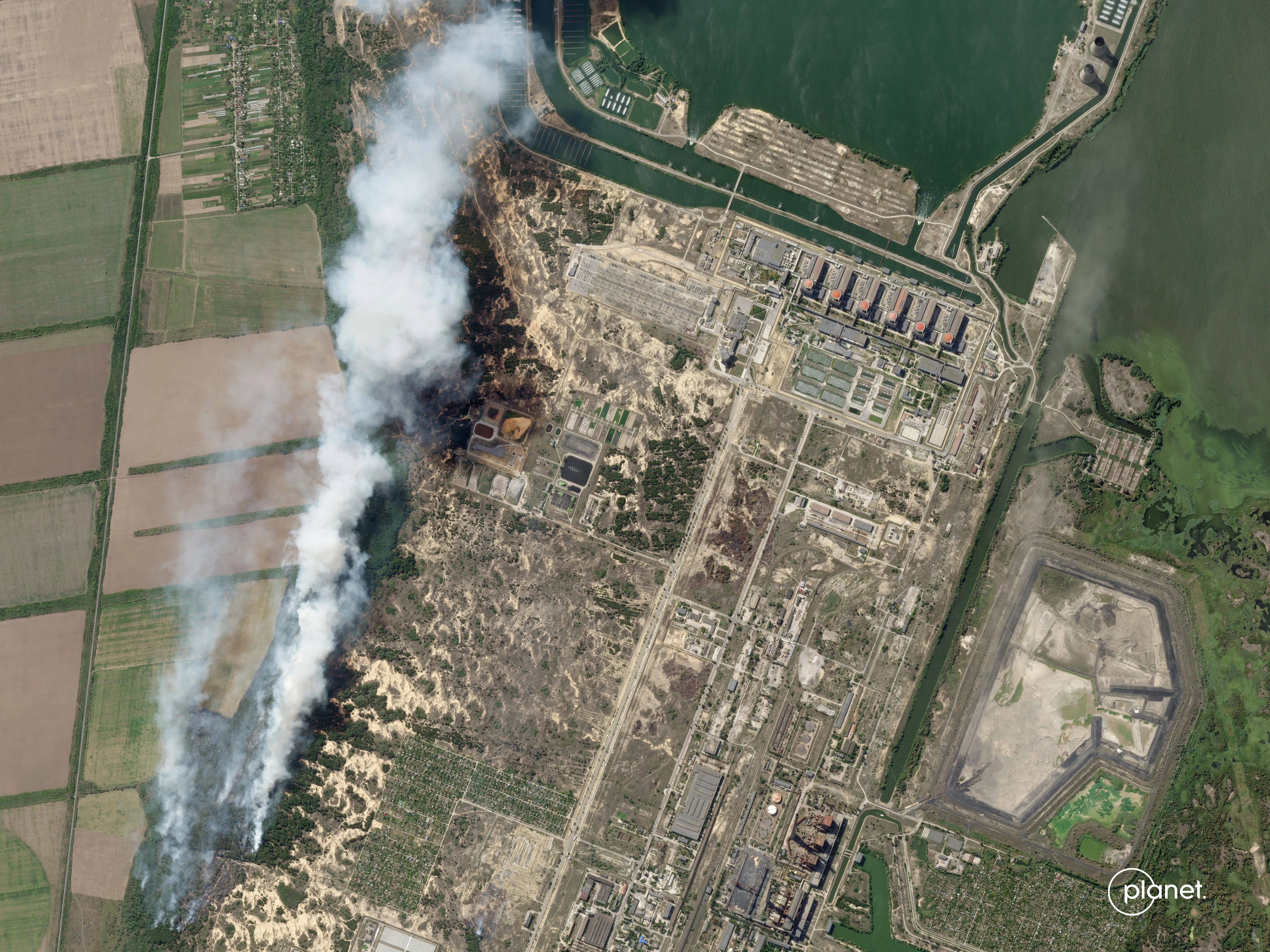
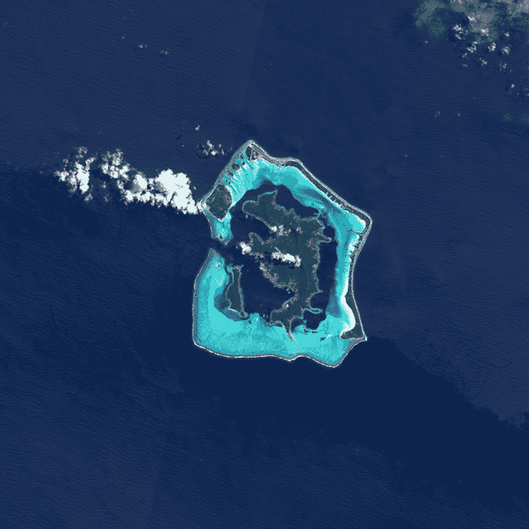
Types of Images You Can Capture Through SkyWatch’s Solutions
Tips for Tasking Strong Imagery
Even with the best technology in orbit, taking photos from space can have nuances.
Here are some tips for getting the most out of tasking satellites:
-
- Check the weather conditions before scheduling your tasking. Avoiding a storm or cloudy days will strengthen your results.
-
- Understand what data you need to get the right satellites to capture your data. Different satellites have different resolutions and image types (near-infrared, etc.), so be sure to select the outputs that will give you the results you’re looking for. If you’re unsure where to start, check out our Ultimate Satellite Imagery Guide.
-
- Give yourself plenty of time to prepare. Latency can vary based on the size of your AOI, resolution type and re-visit rates necessary for your imagery. Give yourself a buffer so you can meet your project needs on time.
-
- Follow all instructions provided by SkyWatch carefully. This will ensure that your tasking goes smoothly and that you get the best images.
Conclusion
SkyWatch can be a great source for those who want to capture meaningful data. Tasking satellites brings customization to a new level. If you’re looking to monitor an area for object detection, object clarification, event detection or change detection, tasking satellites can be a great method.
For more answers to your questions about the world of Earth Observation, tweet your question with #askskywatch.


