Application · Mining & Energy
Exploration & resource mapping
Exploration means making decisions about vast, remote ground long before crews arrive. Satellite, SAR, and hyperspectral imagery let you survey terrain, map surface geology, and monitor sites from orbit — narrowing the search and de-risking the spend.
In short
Why explore from above?
Ground campaigns are expensive and slow, and the ground is often remote or inaccessible. Imagery lets you screen huge areas first — mapping surface features, structures, and change — so field effort and capital go where the data says they should.
What you can do
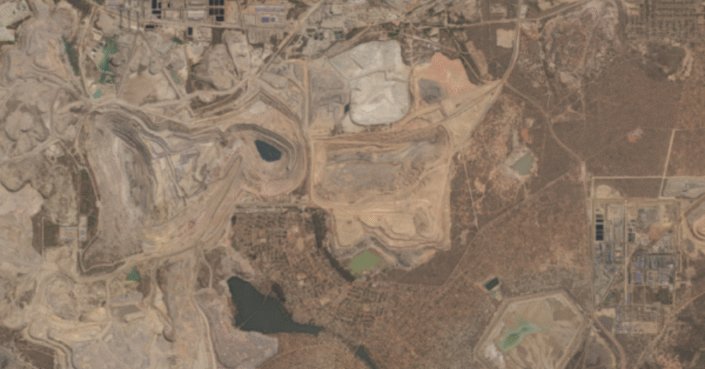
From regional reconnaissance to active sites
The right sensor for each stage — optical, radar, and hyperspectral, all in one platform.
Geological mapping
Use hyperspectral imagery to identify surface minerals and map geology over wide areas.
Site selection & access
Assess terrain, access routes, and infrastructure before committing field crews.
Operational change
Track active-site changes and stockpile volumes with recurring high-resolution captures.
Environmental impact
Monitor disturbance, tailings, and rehabilitation to support compliance.
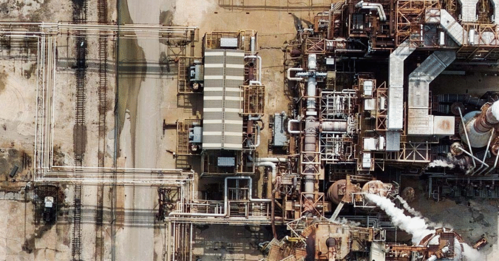
Emissions & methane
Use specialized sensors to detect emissions and methane across facilities.
All-weather monitoring
SAR sees through cloud and darkness to track ground movement and activity year-round.
One platform across the asset lifecycle
Screen a region with medium-resolution and hyperspectral data, zoom into prospects with very-high-resolution optical, then monitor active operations and ground stability with SAR — without juggling separate vendors. Pipe every layer into your GIS for analysis.
Choosing data
Which imagery for which job?
Hyperspectral for material ID, very-high-resolution optical for site detail, and SAR for all-weather monitoring and ground movement.
See what each band combination reveals in satellite image outputs and their applications, or compare platforms in satellite vs. aerial vs. drone imagery.
Who uses it
Industries that rely on exploration & resource mapping
Resource industries screen vast ground from orbit before committing crews.
Mining & Natural Resources
Map surface geology and target prospects before mobilizing field crews.
Energy, Oil & Gas
Screen acreage and assess terrain and access for exploration.
Data partners
Imagery from the world's leading providers
Access an ever-growing network of satellite, aerial, and drone operators — all through a single SkyWatch account.


De-risk every exploration decision
Set your area of interest, choose the right sensors, and survey from one platform — with no minimum contract spend.